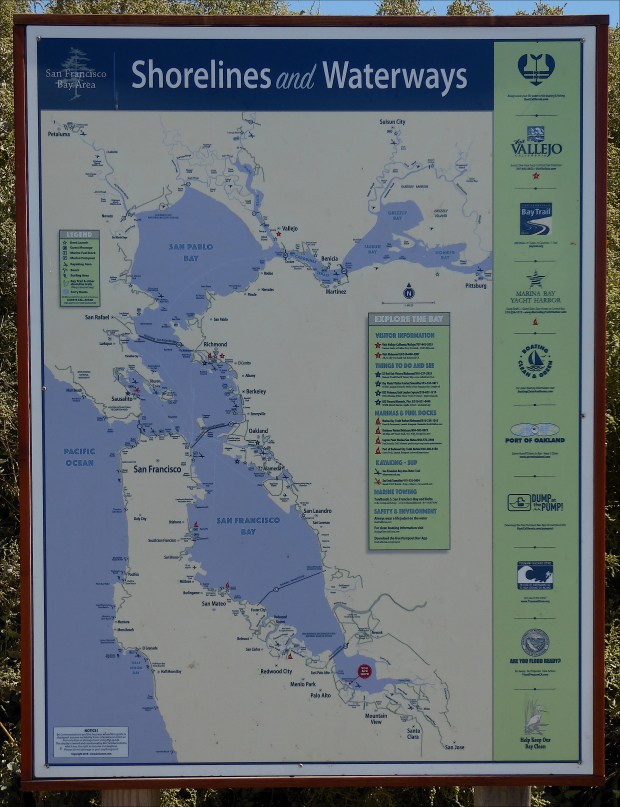
Baylands Nature Preserve is a little piece of the San Francisco Peninsula that was a yacht club, then a landfill, and is now a two-thousand acre tract of pickleweed marshland protected from development and owned by the City of Palo Alto, with fifteen miles of trails and a kayak launch.

It’s adjacent to San Francisquito Creek and the Palo Alto Flood Basin.
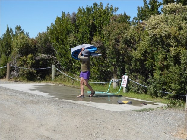
We kayaked there a couple weekends in September.

The water’s pretty shallow, and the winds, blowing northeast, were a chore. We talked to a wind surfer who said a 15 mph northeast wind is pretty typical there.

It was very scenic though.


We saw gulls,


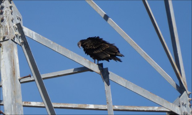
some beady-eyed vultures

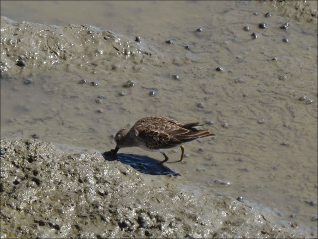
the cutest least sandpipers

and some metal birds (Palo Alto Airport is a stone’s throw away).

And on one occasion, we were serenaded by a talented saxophonist

as we packed up to go.
Resources Consulted:
How to Identify White Herons—Excerpt from “Better Birding” Book, The Cornell Lab or Ornithology
Least Sandpiper, Audubon Guide to North American Birds
Map of The Baylands, City of Palo Alto
Officials unveil first phase of San Francisquito Creek flood protection, Palo Alto Online
Palo Alto Baylands Nature Preserve (Wikipedia)
Palo Alto Baylands Preserve, San Francisco Bay Trail (lots of great information and photos in here)
San Francisquito Creek Baylands Map, Guide to San Francisco Bay Area Creeks
Shorebird Identification, Pacific Flyway Shorebird Survey
