If we had all the money in the world and the California Department of Parks and Recreation was selling the Burleigh H. Murray Ranch, we would convert the barn and never leave. Until that time, we’re grateful that it’s only a 30 minute car ride away, near Half Moon Bay. The interpretive sign at the site of the barn (transcribed below), a half mile from the park entrance, places visitors in time and space, history and nature.
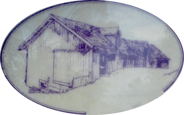
The interpretive sign informs us that “Robert Mills built this unusual barn in 1889 for his tenants. Originally 200 feet long, it could house 100 cows.”
“Robert Mills (1823-1897) acquired 1,300 acres in this secluded valley between 1862 and 1884, and added a house, dairy barn, and outbuildings to make it a working ranch. For more than a century, Mills and his heirs leased the ranch to recently immigrated English, Irish, Italian, and Portuguese farmers. Mills, a native of England, came to California in the Gold Rush. He made his start in San Francisco as a glazier; his work included ornamental glass for William Ralston’s Belmont home and the original Palace Hotel in San Francisco. He invested his earnings in land on the Peninsula, and became a major financial patron to early settlers of half Moon Bay and the Coast side. He moved to Belmont in 1877. After Mills’ death, the ranch passed to his wife, Miranda Murray (1831-1913), then her son, Burleigh Chase Murray (18650-1937), and her grandson, Burleigh Hall Murray (1892-1978). The Murray estate donated the ranch to the California Department of Parks and Recreation in 1979 to preserve its cultural and natural resources. The park has since grown to 1325 acres.”

[Transcription continued] “As you travel up the trail, you will see three major habitats: the moist riparian corridor along Mills Creek, shaded by red alder trees; coastal prairie grasslands on the drier south-facing slopes; and, dense coastal scrub on the shady north-facing slopes. Common coastal scrub plants include coyote brush and orange-blossomed sticky monkey flower. Ceanothus shrubs edge the upper trail with fragrant blue blossoms in the spring. Human-created habitats include the fields along the road, now overgrown by mustard and radish, and the dense groves of eucalyptus trees, planted for lumber and as windbreaks. Many species of animals live in or visit the park throughout the year. Birds include red tailed hawks, California quail, and owls. Deer graze in the grassy fields. Nocturnal inhabitants, such as bobcats, raccoons, opossums, and skunks, are less commonly seen, but you may see their footprints in the dust or mud along the trail.”
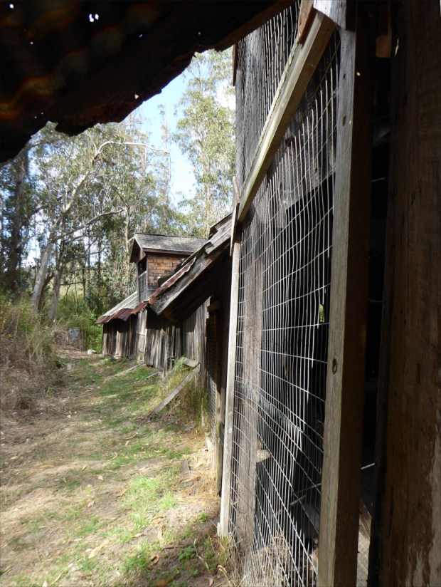
The barn, Sept 2019
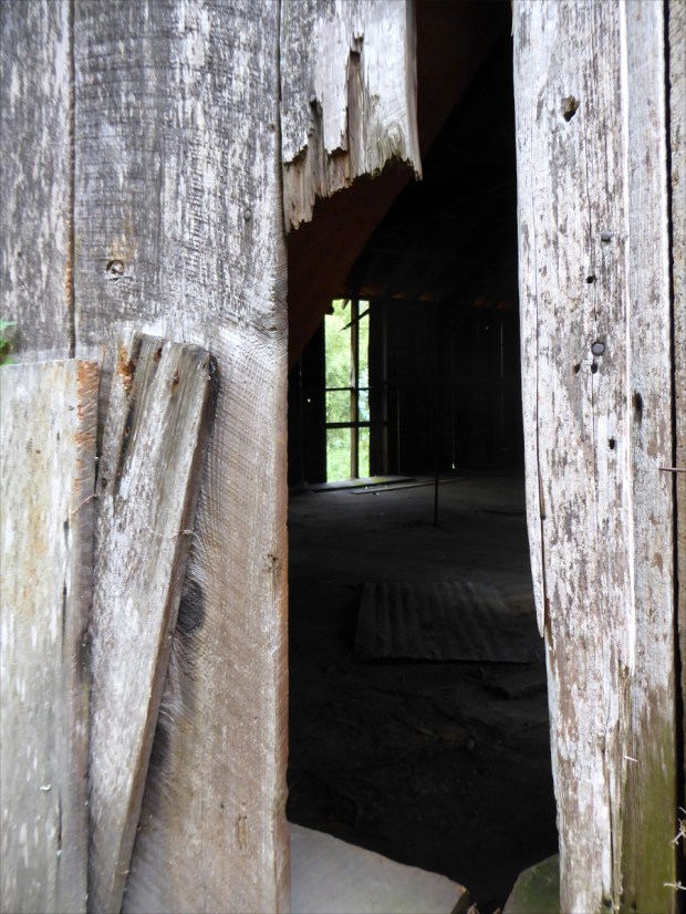
The barn, Sept 2019

The barn, Sept 2019

Antique Deering-McCormick agricultural equipment, Sept 2019

The history of the Deering/McCormick merger is pretty interesting. If memory serves from my time as archivist at Vizcaya Museum and Gardens, the Deering team and the McCormick team negotiated from different buildings–not sides of the table, not rooms, but buildings–that’s how well they got along. Photo taken Sept 2019.

Common California Aster (Corethrogyne filaginifolia), Sept 2019
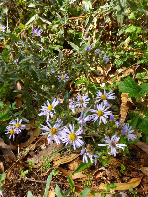
Common California Aster (Corethrogyne filaginifolia), Sept 2019

Interlocked eucalyptus, Sept 2019
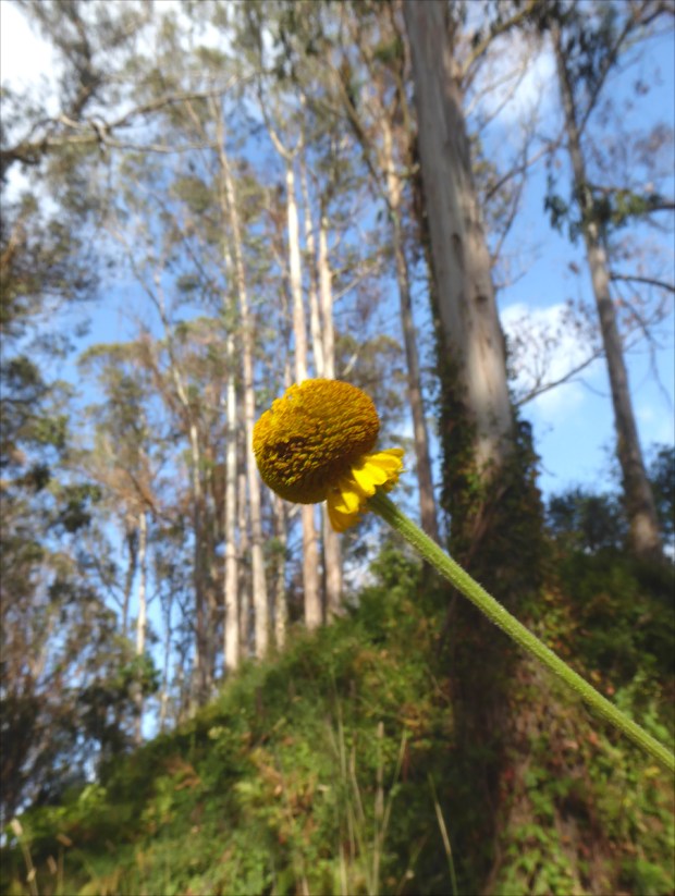
Sneezeweed (Helenium puberulum) in a eucalyptus grove, Sept 2019
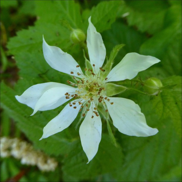
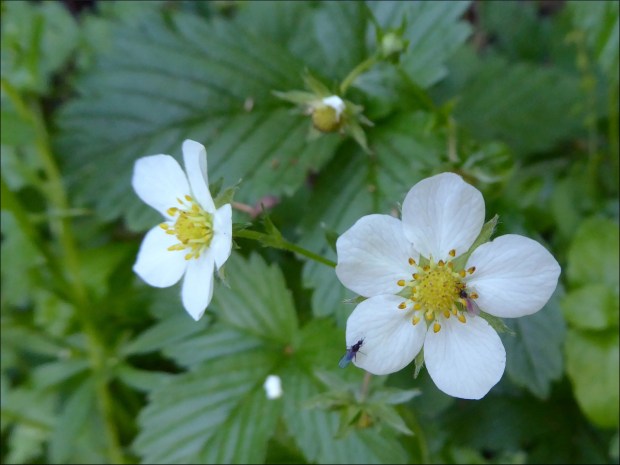
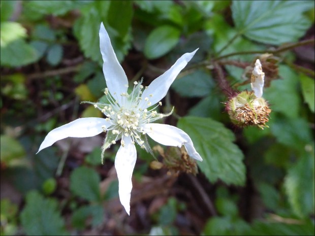
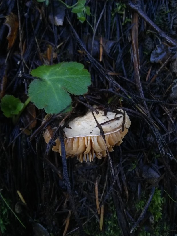
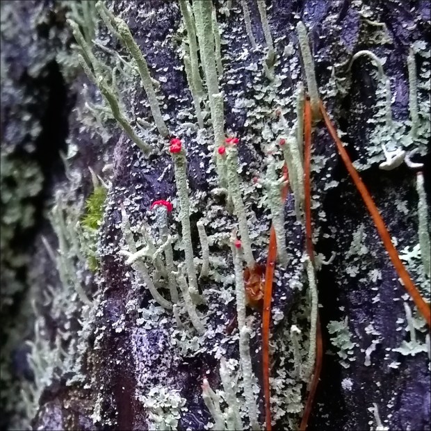
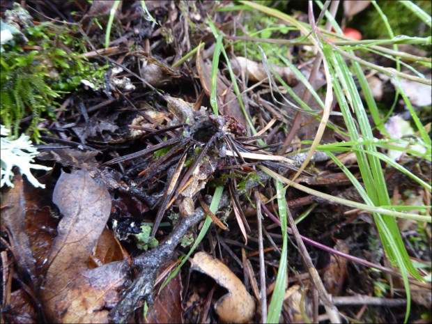
Sept 2019
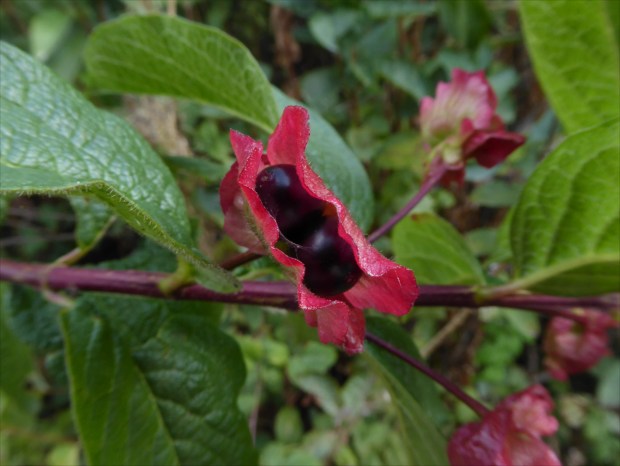
Twinberry Honeysuckle (Lonicera involucrata), Sept 2019

Twinberry Honeysuckle (Lonicera involucrata), Sept 2019
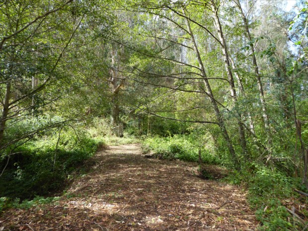
Red alders (Alnus rubra), Sept 2019
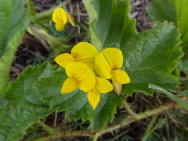
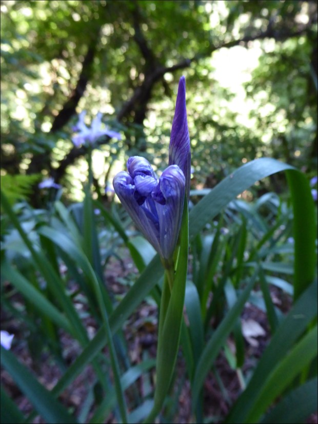
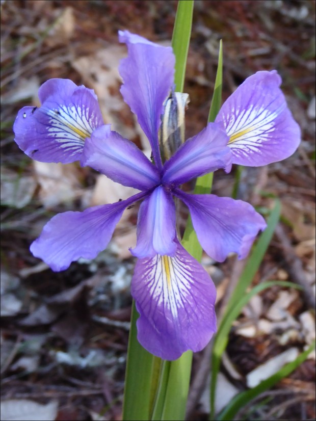
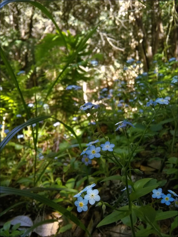
Let us know in the comments if you can name this elegant flower. The broad leaves are misleading; I think the flower’s leaves are the slender leaves close to the ground. Photo taken Sept 2019.
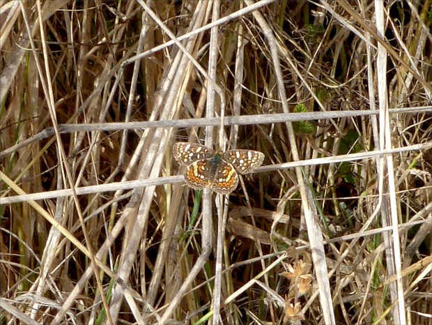
Field Crescent butterfly (Phyciodes pulchella), Sept 2019

Red alders (Alnus rubra), Sept 2019

California Dandelion (Agoseris grandiflora), Sept 2019

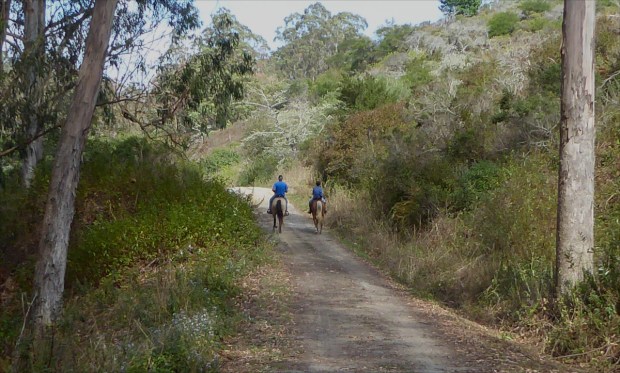
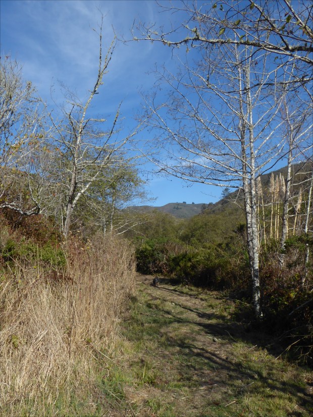
Where the trail ends, Sept 2019
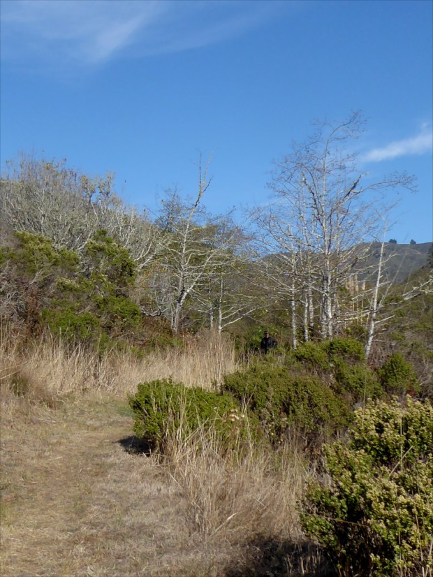
Leafless red alders (Alnus rubra), Nov 2019
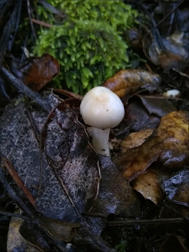
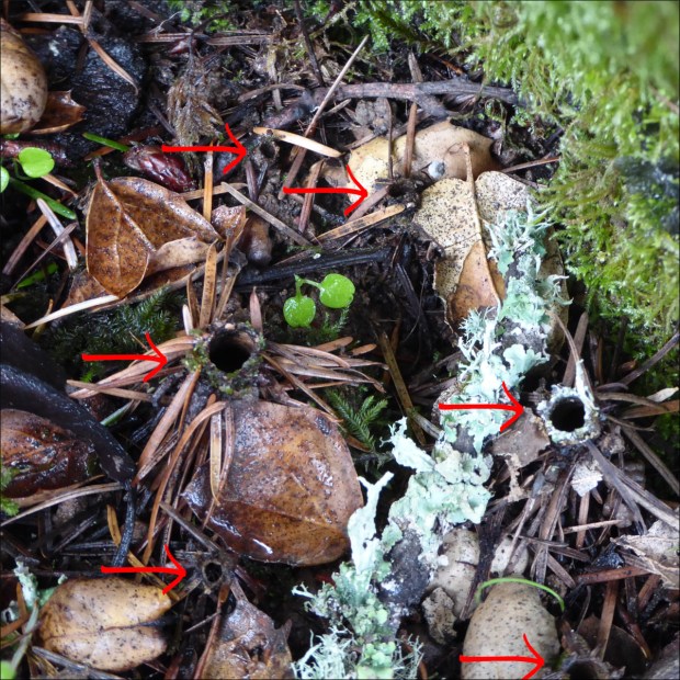
Nov 2019

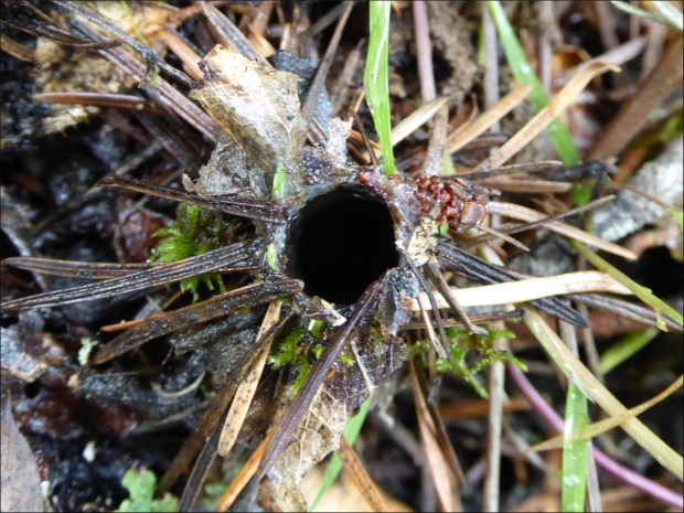
Nov 2019

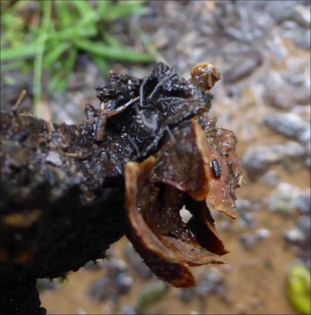
Nov 2019

This is the interpretive sign that I transcribed above.
Resources Consulted:
Calscape, California Native Plant Society