Author: inthegooey

We are an archivist, interior designer and mixed Yorkshire terrier, husband-wife-chien-team, who like to be in the outdoors.

Social Distancing on Soquel Creek in Capitola, May 2020

It was in May that the pandemic “Shelter in Place” order was lifted in California. So we hopped on the I-280 to Capitola, 4 miles east of Santa Cruz. The little creek that runs through Capitola is called “Soquel,” an Ohlone word. It empties into Soquel Cove, part of the Monteray Bay National Marine Sanctuary.


The waterfront dining district was bustling. We were lucky to find a parking spot in an ally close to the creek. We launched from a tiny park at the tail end of a string private residences, many of which had vacation unit rental signs prominently displayed.

To launch, we had to drop the kayak over a rail. Thankfully we’re both tall and don’t mind getting a little dirty, because, although the kayak is pretty light, we had to stretch our bodies out, anchoring our knees, legs and feet in the dusty ground in a funky yoga pose, to clear the gap between the platform and the rail to drop the kayak in the water.

Soquel Creek bridge

Soquel Creek bridge

The kayakable part of the creek is only a half mile long, but very scenic and very peaceful.

There were a few kayakers and paddle boaters from the residences along the creek–polite youngsters and parents with small children.

But we had the cove to ourselves, excepting some gulls.

Brightly colored Venetian Village cottages, all empty

Brightly colored Venetian Village cottages, all empty

We portaged over a sandbank. The water was a bit icky from bird droppings.

Diving in the kelp forests is still on our to-do list. The residents of the kelp forests kept to themselves this day: we saw a few sea lions, but no sea otters.

Capitola Wharf

Capitola Wharf, silent

It was very quiet. The only other people on the water were a swimmer and a fisher in a small motor boat.

The appearance of crowds on Capitola beach, though sparse, seemed to emphasize the quietness of the water.

Oliver

Oliver, happy to be on dry land again

Fall on a 19th Century Ranch, 2019

If we had all the money in the world and the California Department of Parks and Recreation was selling the Burleigh H. Murray Ranch, we would convert the barn and never leave. Until that time, we’re grateful that it’s only a 30 minute car ride away, near Half Moon Bay. The interpretive sign at the site of the barn (transcribed below), a half mile from the park entrance, places visitors in time and space, history and nature.

The interpretive sign informs us that “Robert Mills built this unusual barn in 1889 for his tenants. Originally 200 feet long, it could house 100 cows.”

“Robert Mills (1823-1897) acquired 1,300 acres in this secluded valley between 1862 and 1884, and added a house, dairy barn, and outbuildings to make it a working ranch. For more than a century, Mills and his heirs leased the ranch to recently immigrated English, Irish, Italian, and Portuguese farmers. Mills, a native of England, came to California in the Gold Rush. He made his start in San Francisco as a glazier; his work included ornamental glass for William Ralston’s Belmont home and the original Palace Hotel in San Francisco. He invested his earnings in land on the Peninsula, and became a major financial patron to early settlers of half Moon Bay and the Coast side. He moved to Belmont in 1877. After Mills’ death, the ranch passed to his wife, Miranda Murray (1831-1913), then her son, Burleigh Chase Murray (18650-1937), and her grandson, Burleigh Hall Murray (1892-1978). The Murray estate donated the ranch to the California Department of Parks and Recreation in 1979 to preserve its cultural and natural resources. The park has since grown to 1325 acres.”

[Transcription continued] “As you travel up the trail, you will see three major habitats: the moist riparian corridor along Mills Creek, shaded by red alder trees; coastal prairie grasslands on the drier south-facing slopes; and, dense coastal scrub on the shady north-facing slopes. Common coastal scrub plants include coyote brush and orange-blossomed sticky monkey flower. Ceanothus shrubs edge the upper trail with fragrant blue blossoms in the spring. Human-created habitats include the fields along the road, now overgrown by mustard and radish, and the dense groves of eucalyptus trees, planted for lumber and as windbreaks. Many species of animals live in or visit the park throughout the year. Birds include red tailed hawks, California quail, and owls. Deer graze in the grassy fields. Nocturnal inhabitants, such as bobcats, raccoons, opossums, and skunks, are less commonly seen, but you may see their footprints in the dust or mud along the trail.”

The barn, Sept 2019

The barn, Sept 2019

The barn, Sept 2019

Antique Deering-McCormick agricultural equipment, Sept 2019

The history of the Deering/McCormick merger is pretty interesting. If memory serves from my time as archivist at Vizcaya Museum and Gardens, the Deering team and the McCormick team negotiated from different buildings–not sides of the table, not rooms, but buildings–that’s how well they got along. Photo taken Sept 2019.

Common California Aster (Corethrogyne filaginifolia), Sept 2019

Common California Aster (Corethrogyne filaginifolia), Sept 2019

Interlocked eucalyptus, Sept 2019

Sneezeweed (Helenium puberulum) in a eucalyptus grove, Sept 2019

Sept 2019

Twinberry Honeysuckle (Lonicera involucrata), Sept 2019

Twinberry Honeysuckle (Lonicera involucrata), Sept 2019

Red alders (Alnus rubra), Sept 2019

Let us know in the comments if you can name this elegant flower. The broad leaves are misleading; I think the flower’s leaves are the slender leaves close to the ground. Photo taken Sept 2019.

Field Crescent butterfly (Phyciodes pulchella), Sept 2019

Red alders (Alnus rubra), Sept 2019

Giant Mountain Dandelion

California Dandelion (Agoseris grandiflora), Sept 2019

Where the trail ends, Sept 2019

Leafless red alders (Alnus rubra), Nov 2019

Nov 2019

Nov 2019

Nov 2019

This is the interpretive sign that I transcribed above.

Resources Consulted:
Calscape, California Native Plant Society

Experiencing Big Sur, Jul 2019

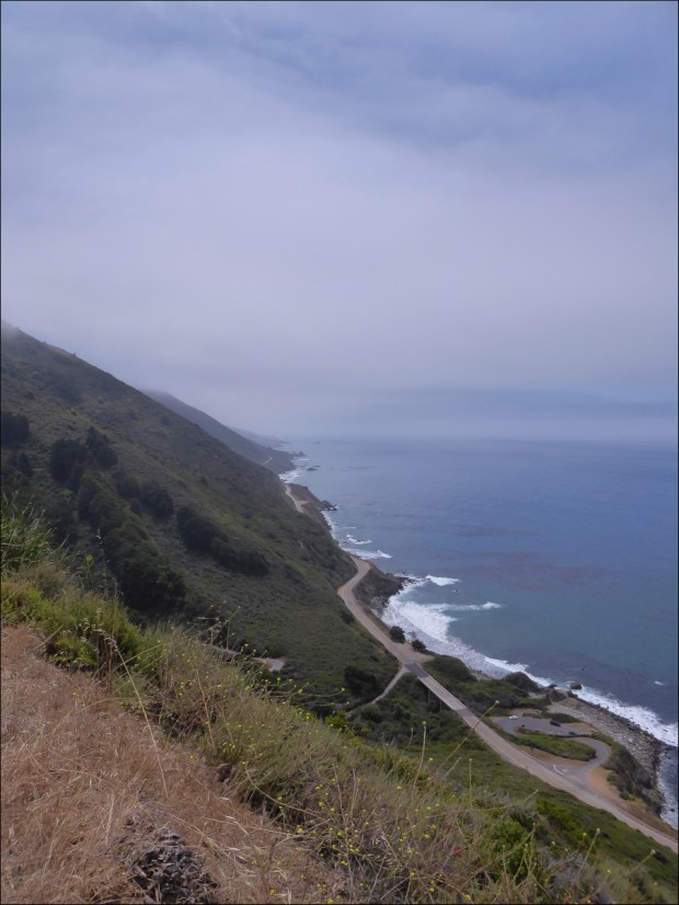
Big Sur is a massive coastal mountain range that occupies the central coast of California. Situated between Carmel and San Simeon, it is bordered to the east by the Santa Lucia Mountains and the west by the Pacific Ocean. As our California adventures took us further and further south, Big Sur started to inhabit our imaginations. A glimpse of the Santa Lucia foothills while cycling River Road in Monterey wine country–so secluded and peaceful, and green and inviting, yet misty and mysterious–motivated us to finally make the trip.

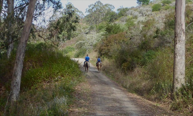
Perhaps the most iconic image of Big Sur is of the two lane highway, State Route 1 (aka “California 1”), which snakes along Santa Lucia’s green-sheathed mountainside and offers spectacular views of misty forestscapes terminating abruptly at seaside cliffs. A scenic route like no other, it connects San Francisco Bay Area to LA.

View of the Pacific Ocean from Santa Lucia Range along Nacimiento-Fergusson Road

We decided to schedule our trip for the 4th of July long weekend, but, as it was June by the time we started planning, most of the campgrounds in Big Sur were already booked full. We were lucky to find an open site at Memorial Park campground, in Los Padres National Forest, but it was available for only one night, so, in order to extend our trip, we decided to give roadside camping a try.

View from the summit of Nacimiento-Fergusson Road

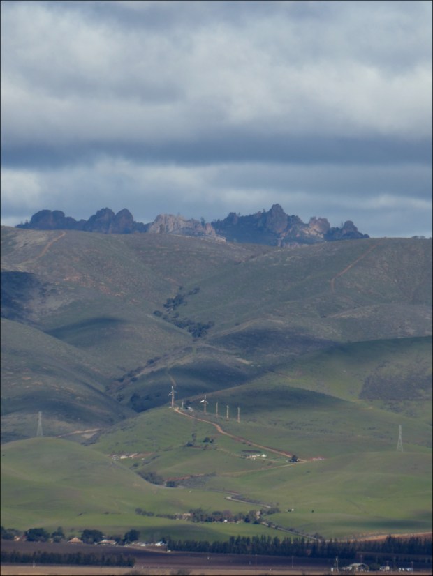
The views from the summit of Santa Lucia Range along Nacimiento-Fergusson Road are spectacular (a little too spectacular if you’re afraid of heights, like I am).

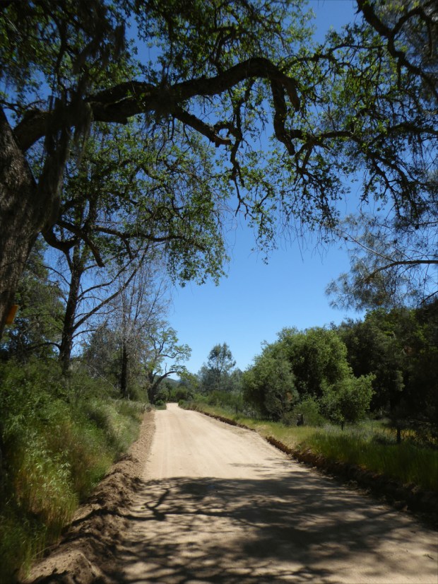
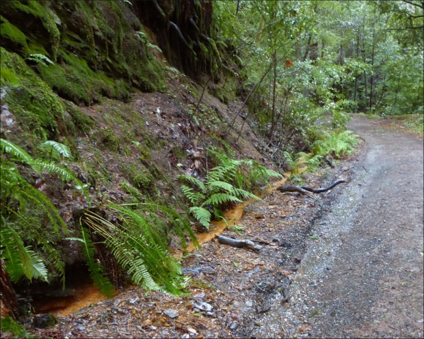
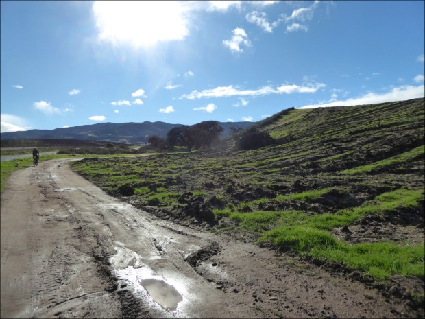
Roadside camping is permitted along designated sections of Nacimiento-Fergusson Road. The road follows a saw-tooth pattern of twists and turns eastward from California 1 to Highway 101 and the Salinas Valley. It is the same route that 19th-century homesteaders, residing on the north coast of Santa Lucia Range, used to transport cattle to the markets of Central Valley, and was then, as it is now, the only road within the forest boundaries that crossed the mountains.

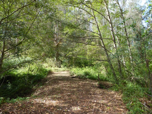
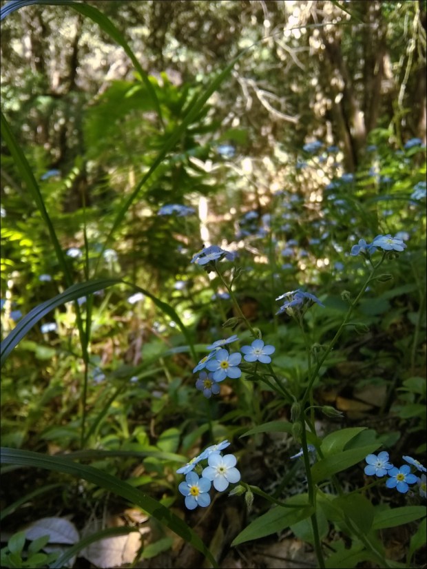
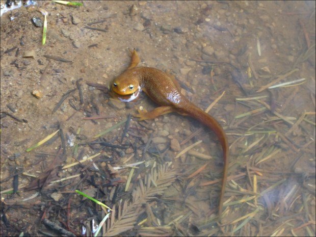
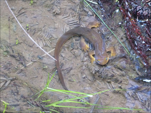
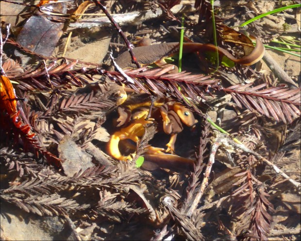
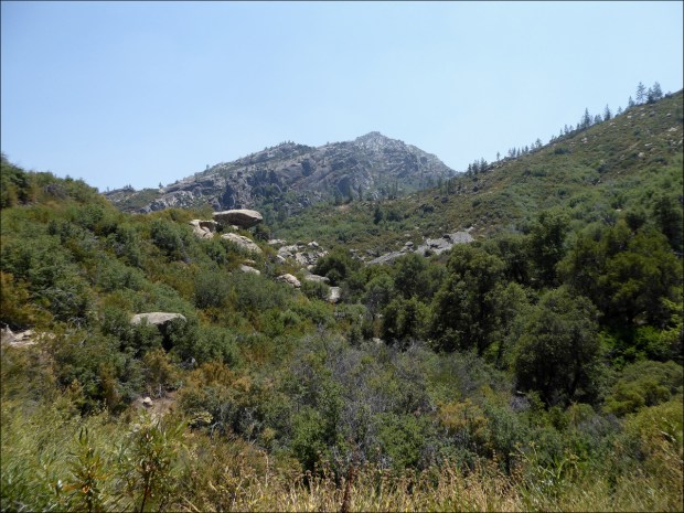
The sections of the road where roadside camping is permitted are clearly marked. We selected a spot on the eastern side of the summit where the road follows a trout-filled stream, aptly named Nacimiento River, canopied by Ponderosa Pine, Oak, Madrone and Sycamore trees. Parking on the gravel shoulder, we walked and rock-hopped our gear to a natural clearing on the other side of the stream.

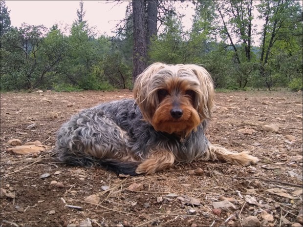
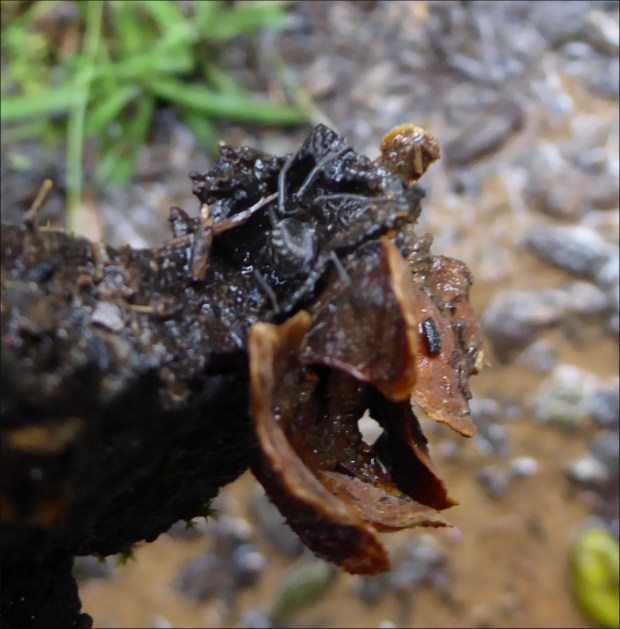
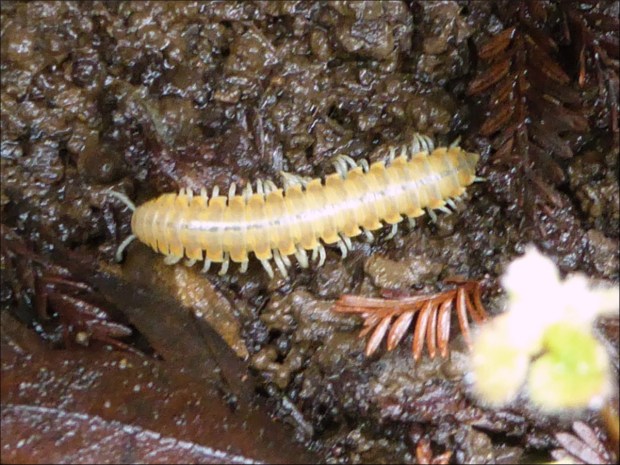
We had stocked up on picaridin mosquito repellent just in case, but the mosquitoes weren’t bad at all; at least, they were nothing these Florida-hardened campers couldn’t handle.

It was an idyllic little spot. There were so few cars on the road, which was hidden on the other side of the stream, that it was easy to forget that there was a road there at all.

That night we experienced the Milky Way like we’d never experienced it before. Stars blanketed the sky. We felt as though we could reach up and dip our fingers in it, like a giant vat of glitter.

The next day we stopped briefly at San Antonio Mission on the way to Memorial Park. Built in 1771, San Antonio Mission is one of the oldest missions in California, and includes a museum, as well as original aqueducts and a Native American graveyard, but the heat was sweltering so we didn’t stay long.

The facade is original and made of adobe bricks.

The route also took us through Fort Hunter Liggett. I chuckled at a warning posted on the gate that led into the 165,000 acre training ground, that advised visitors to leave their marijuana behind. It was strange to think that the law spontaneously changed as we drove through that gate. (Apologies for not taking a photo; it was just so darn hot that we missed several good photo opportunities.)

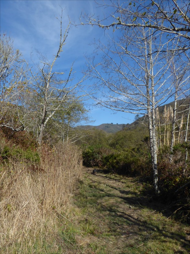
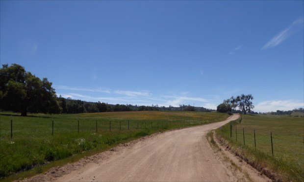
This westerly view of Nacimiento-Fergusson Road looks back at Santa Lucia mountains from just inside the Fort Hunter Liggett gate; the oak woodland on the northern side of the road seemed to have recently experienced a controlled burn.

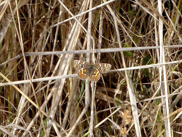
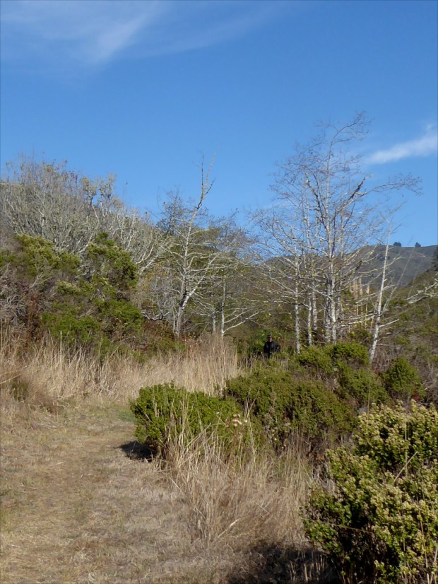
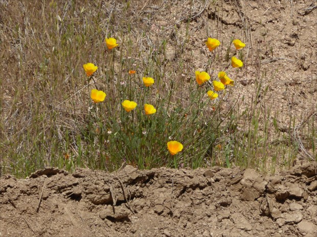
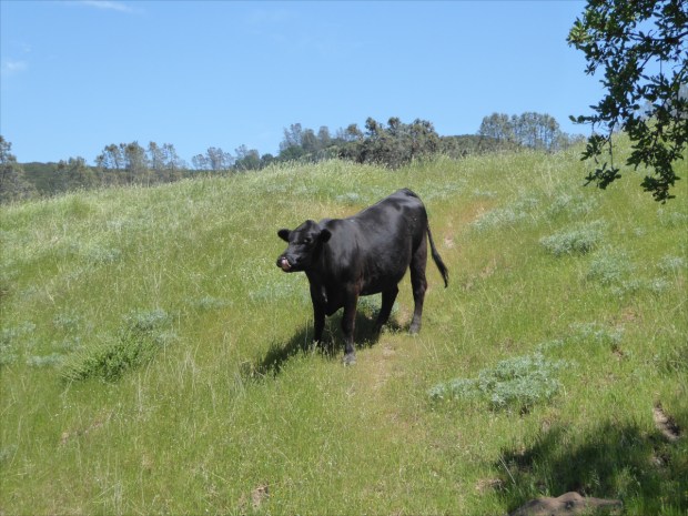
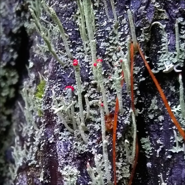
The landscape also changed when we passed through the gate. We saw huge rocky outcrops, oak woodland, grasslands with fields of multi-colored grasses, waist high, like in John Muir’s descriptions of California, and pinyon-juniper woodland.

Pinyon-juniper woodland with rocky outcrop

Pinyon-juniper woodland

Throughout the drive from our stream-side campsite to Memorial Park, we shared the road with only one other car, which we saw near Hunter Liggett base. We tried to stop at the base, but were summarily turned away. Google Maps shows a grocery store inside the base, and we thought it possible they would sell us some supplies. But “Make a u-turn, sir,” was the only thing the well-armed officer guarding the entrance had to say to us. Many small, uneven, dirt roads branched from the road around the base, with signs cautioning drivers to not deviate from the road for fear of setting off the live mines buried there.

Our campsite at Memorial Park

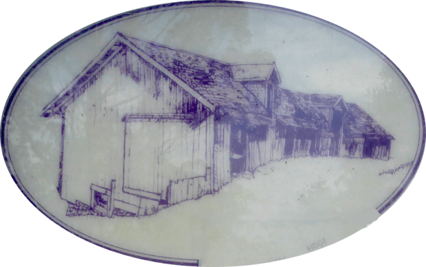
Don Bain’s 360 Panoramas website explains the history of Memorial Park: “When the California missions were secularized by the Mexican government in 1834, the lands were transferred to private hands and the mission economy declined rapidly. The indigenous people living at Mission San Antonio moved north a few miles and settled here, a place that ever since has been called simply ‘The Indians.’ Although it has always been part of Los Padres National Forest, it is also known as Santa Lucia Memorial Park.” There are eight campsites, no electricity and no cell service.

Brian Wall, at Kings River Life Magazine, has some interesting things to say about Memorial Park, perhaps the most salient of which proved to be a statement that “Most of the campers who end up here aren’t looking to roost, but rather to explore.” Our campsite neighbors were academics–UCLA on one side and UC Berkeley on the other. Amazingly, and true to Brian Wall’s statement, the folk from UCLA had the fortitude to spend the day hiking, despite the scorching heat. We wanted to follow their example, but it was just too darn hot. Happily, some other campers told us about a nearby swimming hole formed by the Arroyo Seco River.

The path to the swimming hole was not marked, so we clambered and slid over many a giant boulder before successfully reaching this little nirvana.

The water was cold and clear, so clear that we could see the naughty little fish that suddenly attracted our attention by nibbling on our legs. Refreshed, we spent the remainder of the day sipping whisky, reading and lounging, heckled only occasionally by an unruly pack of scrub jays who seemed to regard us as intruders. We even found the energy to take a short bike ride. Overall it was a wonderful experience, and one that we hope to repeat; perhaps next time we’ll stay on shady Santa Lucia Ridge and cycle the summit.

Resources Consulted:
Big Sur Chamber of Commerce
Camping at “The Indians,” by Brian Wall (Kings River Life Magazine)
Historical Overview of Los Padres National Forest, by E.R. Blakley and Karen Barnette (July, 1985)
Insect Repellent Buying Guide, Consumer Reports
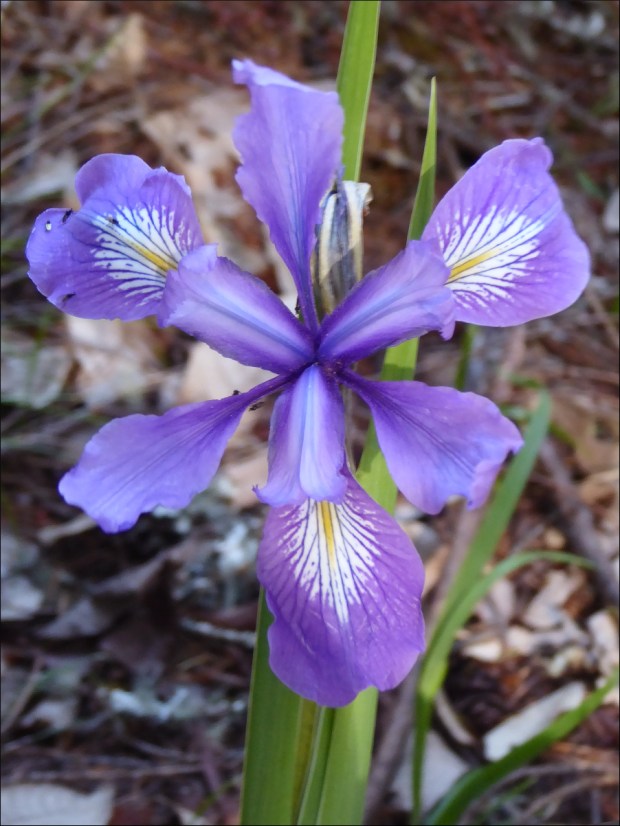
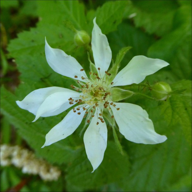
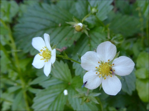
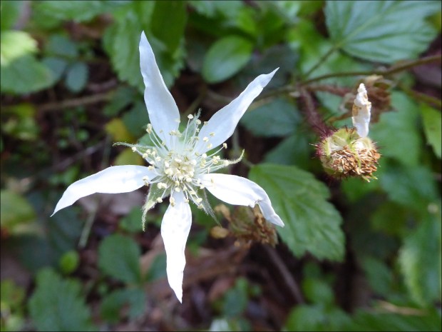
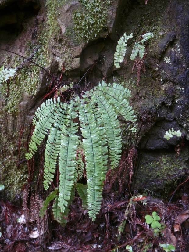
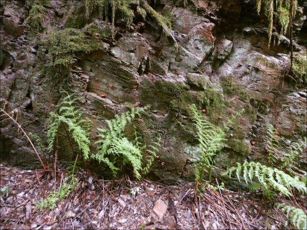
Los Padres National Forest Plants, USDA Forest Service
Memorial Campground, Los Padres National Forest, recreation.gov
Memorial Park Campground, Los Padres National Forest, USDA Forest Service
Nacimiento-Fergusson Road (Wikipedia)
Santa Lucia Memorial Park at The Indians, by Don Bain
U.S. Army Garrison Fort Hunter Liggett, Department of the Army
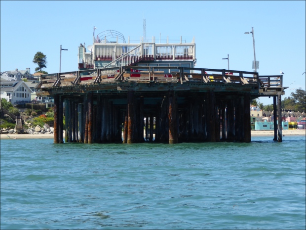
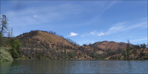
Memorial Day on Mount Shasta, May 2019

Mount Shasta jumped to the top of our list of places to explore when we stumbled across Bubba Suess’s blog, “Hike Mt Shasta”. “Hike Mt Shasta” seems to cover anything you could possibly want to know about exploring the Mount Shasta region. We decided to make the trip on the next long weekend, which happened to be Memorial Day.

To break the trip up a little, we stopped in Redding, site of the historic Carr Fire. Redding burned for over a month between July and August 2018, with 100-foot-wide fire tornadoes that generated gases reaching temperatures of 2,700 degrees and winds up to 165 mph. One of the areas to sustain the most damage was Whiskeytown National Recreational Area.

By May 2019, Whiskeytown’s Oak Bottom Campground had reopened with a warning on its website that “The Carr Fire has increased risks to visitors; falling trees, broken and hanging limbs, burned out stump holes, abandoned mine features, and loose rocks remain in much of the burned area. Remember to watch the ground you walk on, as well as above you.”

Despite the warning and 81 F (27 C) heat, the campground was booked full. The sites were small, but folk were courteous and quiet.

Being new to California, bear lockers were new to us

Oliver at the camp site

Shortly after setting up, the sky turned pink. Checking the weather, we learned that a giant storm was gathering, with the possibility of hail and tornadoes, 8 miles (13 km) to the west of us in Redding.

Mallards with a purpose

The hail pinged off the tent in a rather exciting way, but the storm was short-lived, and by morning the rain had dried up.

Whiskeytown Lake is actually a reservoir, created in 1963 to divert water from the Trinity River basin to the Sacramento River, named for the village of Whiskeytown, which, ironically, was inundated as a result of the reservoir.

A tour of the lake was a tour of Carr Fire burn scars — of charred land returning to life.

CA-299 highway is visible on the left in this photo

I was impressed by how well these Canada Geese blended in with the shadow of the overhanging bank. From a distance the camouflaging effect caused them to almost disappear.

Judge Francis Carr Power House

I regret that we didn’t stop to take photos along the I-5. The highway to Mt Shasta is a great, green corridor following an old railway line through sweeping canyons thick with pine trees. And the 170 million year old, 6000-feet tall granite spires known as Castle Crags are a sight to behold, even when viewed from the highway. Castle Crags State Park is definitely on our list of places to explore.

Railway towns dot the route. Dunsmuir is one such. It was originally called Pusher after the pusher locomotives that pushed freight trains over the steep mountains to the north of Dunsmuir. The town was later renamed Dunsmuir after a Canadian coal baron, in exchange for money to build a municipal fountain (San Francisco Chronicle).

We soaked in the scenery over a beer at Dunsmuir Brewery Works, a popular spot with lots of outdoor seating and a good selection of craft brews.

campsite setting

In Mount Shasta we stayed at Reynolds Resort on Lake Siskiyou. There were so few campers that it felt like we had the park to ourselves.

We spent all our time cycling on and around the Lake Siskiyou Trail. Wagon Creek Arm Bridge was out, making it impossible to make the full circuit, despite valiant attempts to portage our bikes through the freezing cold water.

In the distance Mount Shastina towers over Lake Siskiyou Bridge. Mount Shastina is the the highest of Mount Shasta’s four cones.

Some requisite facts about Mount Shasta: The United States Geological Survey rates it as a very high-threat volcano; its last eruption was in 1786; it erupts every 600 years; it is about 593,000 years old; it is made up of four overlapping volcanic cones named Shastina, Misery, Hotlum and Sargents Ridge.

Despite being Memorial Day weekend, there was hardly any traffic on the trail.

It was the perfect ride for taking in the scenery — paved paths and double-track dirt trails with almost no ascent.

The only part of the trail that presented any challenge was the Chalet Trail alternate route (seen above), which was way too narrow for my liking at about a foot (30 cm) wide in some places.

Lake Siskiyou Bridge

Our terminus on the other side of the absent Wagon Creek Arm Bridge.

On our way home we stopped at Shasta Dam, the eighth-tallest dam in the United States, built between 1935 and 1945. The gift shop had an excellent selection of reference books!

Shasta Dam

RESOURCES CONSULTED
The 4 Eruption Cones of Mount Shasta, Hike Mt Shasta by Bubba Souss (12 January 2018) – includes diagrams
Border to Border: Essential road trip stops along I-5, Roadtrippers (13 May 2016)
Castle Crags State Park, California Department of Parks and Recreation
Dunsmuir Brewery Works
Feature Detail Report for: Whiskeytown Lake, USGS
Hike Mt Shasta, Bubba Suess
Judge Francis Carr Powerplant, Bureau of Reclamation Projects and Facilities
Lake Siskiyou Camp Resort
Lake Siskiyou Trail Loop – includes directions and map
Little Town of Dunsmuir is Big on Trains, San Francisco Chronicle (13 July 2016)
Oak Bottom Campground, Recreation.gov
Reynolds Resorts
Soaking up Shasta setting/Railroad towns, vintage hotels and hot springs in northern woods, SFGate (3 September 2016)
Things to do in Redding (Tripadvisor)
Visit Redding
Whiskeytown National Recreation Area, National Park Service
Work on the Chalet Trail, Mount Shasta Trail Association

Spring Flowers in a Mountain Forest, May 2019

Skyline Trail in May is a dreamscape. Despite the absence of patched medieval castles, squat thatched-roof villages and stolid Norman churches that I acquaint with fairytales and fantasy, the trail was magical. What wonderful stories the Native Americans of this region must have told of the flowers that bloom in these tall, moist, canopied forests in the springtime!

Taking our cue from blogger David Baselt, who describes patches of old-growth redwoods along Skyline Trail in his blog, Redwood Hikes, we explored the southern section of the trail, having already explored the northern section. The southern section is tricky to find because the trail head is not marked. We had a few false starts as we drove along Skyline Blvd (State Route 35).

In the 1920s, the road’s chief engineer described Skyline Blvd as a highway that “combines the beauties of the mountains, the sunsets of the desert, the fogs of the ocean, and the panorama of the bay.” For about half an hour, we looked for openings in the wire fence that blocks access to the trail from the road, until we found an entrance near Swett Road.

There wasn’t another soul on the trail, although we did wonder if the little fellow who dug these ⬆️ mole-sized holes wasn’t nearby. The holes connected to a ridge that followed the trail for miles, a service road for four-footed friends.

We think Hairy woodpeckers (Dryobates villosus) made these holes. The National Audubon Society says that, “In its feeding Hairy woodpeckers do more pounding and excavating in trees than most smaller woodpeckers, consuming large numbers of wood-boring insects.”

Some industrious, winged blokes occasionally broke the silence.

But otherwise the forest was quiet.

Seeing this new-growth redwood growing beside a second-growth redwood caused us to recall that trees are 95 percent carbon dioxide.

Time slowed down. Instead of minutes, we measured its passing in the moments between discovery and contemplation.

Pastel-colored baby redwood needles.

Victorian author George Eliot wrote that “If we had a keen vision and feeling of all human life, it would be like hearing the grass grow and the squirrel’s heart-beat, and we should all die of that roar which lies on the other side of silence.”

California wild rose (Rosa californica)

On the other hand, biologist T.H. Huxley said that “To a person uninstructed in Natural History, his country or seaside stroll is a walk through a gallery filled with wonderful works of art, nine-tenths of which have their faces turned to the wall.” Skyline Trail is a gallery well worth studying.

California wild rose (Rosa californica)

California wild rose (Rosa californica). They were everywhere!

Douglas iris (Iris douglasiana) learning to crawl

Et voila, Douglas iris (Iris douglasiana) has found its feet!

Mature California blackberry (Rubus ursinus)

Wild strawberry (Fragaria vesca)

California blackberry (Rubus ursinus)

Margined white (Pieris marginalis)? I wish I knew the name of the flower it was sipping on.

Fork-toothed ookow (Dichelostemma congestum)?

Crimson columbine (Aquilegia formosa)

Starflower (Trientalis latifolia)

Broadleaved forget-me-nots (Myosotis latifolia)

Resources Consulted:
Douglas Iris, Golden Gate National Parks Conservancy
Hairy Woodpecker, Audubon Guide to North American Birds
Margined White Pieris marginalis Scudder 1861, Butterflies and Moths of North America
Rubus Ursinus California Blackberry, The American Southwest
Second-Growth Forests and Restoration Thinning, Redwood, National and State Parks California
The Making of Skyline Boulevard, Mobile Ranger
Where Do Trees Get Their Mass?, Veritasium (March 2012)
Wild Plants of Redwood Regional Park Common Name Version A Photographic Guide, East Bay Regional Park District – this pdf is an awesome resource

La Gloria Road and the Bold Cow, Apr 2019

Cycling La Gloria Road to the summit of Gabilan Mountain Range (it’s highest peak is 3,455’/1,053 m), in San Benito County, is one of my favorite California adventures to date. On the way, we stopped at CalFire Bear Valley Station (famous for its helicopter), near the turn off to La Gloria Road, to ask for advice regarding where to park.

The friendly firefighters said we’re welcome to park at the fire station when they know they won’t need to leave the station, which requires them to lock the gate to the parking lot and helipad. But they did have to leave the station that day, and so recommended finding a place to park on the side of La Gloria Road. I was glad we did, because the initial ascent up La Gloria Road is pretty steep.

The 1 1/2 lane, graded dirt road has been in use for over a hundred years. It had recently been graded, but there was already some washboarding, as well as tree roots, rocks and snakes to avoid – all of which added some fun, technical challenges to the ride.

Gopher snake (Pituophis catenifer catenifer)? It was about 4′ (1.2 m) long.

The road was perfectly quiet. Over the course of five hours, we saw a handful of trucks – the inhabitants all smiled and waved, and gave us plenty of clearance – and an SUV with fishing rods poking out of the back.

Flame skimmer (Libellula saturata)?

The ride to the summit was easy and the ascent gradual, but the ride back required some skill. The biggest challenge was remaining in control on the bends, where it was easy to skid out of control in the loose dirt.

We had carefully selected a sunny, spring day for the ride. It was 20°C (70°F) with a gentle breeze, and as we approached the summit, the cooling effect of Monterey Bay added a freshness to the air that we could feel in our lungs.

Golden poppy (Eschscholzia californica), California’s state flower.

The landscape was breathtaking – pristine, unusual, diverse. At the summit, a meadow stretched across the horizon. And it. smelled. heavenly! Every so often a breeze would waft a fragrance resembling Old Spice cologne across our noses!

It was past peak wildflower season in California, and yet sections of this meadow were blanketed with flowers.

But perhaps the most memorable part of the ride was an encounter with a cow. As a kid, my brothers and I would fall over laughing at my dad’s animal noises. His cow-noise was the best. Far from sounding like the consonant+vowel phoneme pair kids growing up in Australia in the 1980s were introduced to in their first few days of school – i.e., “moo” – my dad’s cow vocalization tapped into a phoneme rarely used in the English language. His cow-noise is a very French-sounding “mœ.”

Gauthier had just left to scope out some more of the road, when a little, black cow head appeared above the grassy trench where we were picnicking. Naturally I greeted it with my most charming “mœ.” “Hello cute, cow fellow,” I hoped to communicate, “You have the most lovely pasture. I hope you don’t mind us sharing it with you.”

The cow came closer, and we talked some more. I should say, I talked some more; the cow was silent. I’m not usually so gregarious, but it made constant eye contact, which I took to be a sign of encouragement. Then all of a sudden hoof beats, like the sound of powerfully undulating helicopter blades, approached from the distance.

The herd slowed to an amble as they neared the fence separating Oliver (who was far more interested in where Gauthier had gone than the cows), and I, and our new cow friends from them. Their vocalizations possessed a tone of authority. “What’s going on here?” they seemed to demand. “Mœ,” I said to them – and barely attracted their attention. So I opened up my diaphragm and let out a long, deep “mœ.” To see their heads whip around in unison and stare, you’d think they’d never heard a human say “mœ” before. I let out a couple more assertive “mœs,” intended to communicate that “we are all friends here,” and the herd collectively decided to depart, and trotted away.

The wire fence offered new insight into the character of our new friend. “Now why was the herd on one side of the fence, and this cow and her companions on the other?” I wondered to myself. I looked around. The fence was definitely intended to restrict the cows’ movement to a fenced-off enclosure. “A bold and artful escapee and her nervous followers,” I reasoned.

What the cow was musing – or mœsing – I cannot say, but apparently her thoughts led her to the conclusion that it would be safe to advance farther. As she rounded the top of the trench, her shiny black coat came into focus, as well as an alarming quantity of offal attached to her rear end, and a host of flies.

When we were finally face-to-face, she paused for a moment, then broke eye contact and looked over my shoulder towards the road. Then with a swish of her tail, as if to say, “See ya later,” she continued walking. After pausing again to give her companions – who had avoided me by taking a long, arced route across the trench – time to catch up, she turned left towards Soledad and sauntered down the road.

Resources Consulted:
AA Roads Forum, Topic: La Gloria Road
Commonly Encountered California Snakes, CaliforniaHerps.com
Flame Skimmer, International Union for Conservation of Nature’s Red List of Threatened Species
Gabilan Range, Revolvy
Santa Cruz County Amphibians and Reptile

March Rains in San Mateo – Newts on Gazos Creek Fire Road, 2019

I really do love the rain. Know who else loves the rain?

Newts! We went looking for them on Gazos Creek fire road twice in March.

Gazos Creek emptying energetically into the Pacific ocean.

We stopped by Gazos Creek Beach on the way.

Gazos Creek Beach

Behind a green gate that demarcates the end of Gazos Creek Road and the beginning of Gazos Creek fire road stretched about a mile of puddles (aka vernal ponds)…

On the right you can see the green gate where Gazos Creek fire road starts.

…and we found groups of frolicking California newts (Taricha torosa) in almost every puddle!

Do you see it?

Apparently, they have rather poor manners and are prone to staring.

A frisky thrupple.

The orange color of the tiny stream flowing along the edge of the trail is caused by iron-oxidizing bacteria.

Gorgeous Western maidenhair fern (Adiantum aleuticum; aka Western five finger fern)

The surface of this rock wall was covered in candy cap mushrooms!

Black elfin saddle (Helvella lacunosa)?

Banana slug! They’re so big! It was above me in this picture, so picture it being 20 percent bigger than it appears!

The one thing that we really wanted to see, but didn’t see, were marbled murrelets (Brachyramphus marmoratus). The National Audubon Society calls them “a strange, mysterious little seabird” because their nesting behavior was unknown until the 1970s, when it was discovered that they nest high in trees in old-growth forest several miles inland from the Northern Pacific coast. In March, murrelet parents take turns incubating the egg, changing places every 24 hours at dawn for a month. While one parent sits on the egg, the other forages at sea. We’re not giving up on seeing a marbled murrelet. Maybe we’ll see one next March!

Resources Consulted
“A New Way to Clean the Environment?” (19 June 2016) by Elizabeth Shockman in Public Radio International
Black Elfin Saddle, Wild Macro: Natural Fine Art Photography by Timothy Boomer
California’s Native Ferns, Regional Parks Foundation
Gazos Creek Road, MTB Project
Gazos Creek Road Turns to Dust, Bay Area Rides
Life Cycle of Marbled Murrelets, Black Hills Audubon Society
Marbled Murrelet, National Audubon Society
New Species of Mushroom Discovered on UC Berkeley Campus (7 December 2014), sciencespacerobots.com
Staring Down the Mysterious California Newt (6 April 2017), SoCalWild
Why is My Creek Orange? The Story of Iron-Oxidizing Bacteria, Marin County Stormwater Pollution Prevention Program

March Rains in San Mateo – Thornwood Open Space Preserve, 2019

March brought rain to San Mateo County, and the rain transformed the landscape. Colors became more vivid, new scents filled the air, quiet streams grew noisy with churning water, rivulets appeared from out of nowhere, and puddles, which are habitats for frogs and salamanders, formed everywhere. Being a shy introvert, frogs and salamanders are my favorite kind of company, so out into the rain we went!

Isn’t he beautiful!? Could it be an oyster mushroom (Pleurotus ostreatus)?

Witch’s butter (Exidia glandulosa)?

An innocent-looking death cap (Amanita phalloides)?

Lipstick powder horn lichen (Cladonia macilenta)?

Can you spot the Turret spider burrow?

Lots of turret spider burrows!

Do you think it was staring back at me?

Terrible photo (the little guy wasn’t in the mood to pose for pictures), but what an interesting spider. Can you see it? It’s shiny and black with at least five white, chevron stripes on its abdomen, and was maybe the size of a quarter (about 25 mm diameter).

Xystocheir dissecta. This guy has a secret… he glows under black light!

Periwinkle (Vinca major)? It’s always dismaying to find out that a pretty flower is invasive. The California Invasive Plant Council lists the Vinca major as invasive.

Resources Consulted
California Fungi—Pleurotus ostreatus, www.mykoweb.com
Cladonia macilenta, CalPhotos photo database
“Glowing Millipedes Accidentally Found on Alcatraz,” by Douglas Main for Live Science (27 March 2013)
“Mushroom Hunting for Beginners,” powerpoint presentation by Drew Drozynski (3 March 2018)
Thornwood Preserve, Midpeninsula Regional Open Space
Vinca major, California Invasive Plant Council

A Wintry Ride on Old Haul Road, Jan 2019

It was a quiet ride along Pescadero Road (a minor road that follows the serpentine path of Pescadero Creek) to Old Haul Road. We passed working farms, cow pastures and cottages. As we passed the last farm before entering the thick, shady redwood forest surrounding Loma Mar (population 113), the temperature dropped abruptly, an interesting characteristic of this region, which is made up of hundreds of micro-climates.

After a while, we turned off Pescadero Creek Road onto Wurr Road…

and crossed Pescadero Creek.

Pescadero Creek

Wurr Road has a steel stringer bridge with a timber deck, built in 1962, around the time the State started buying back land from farmers and lumber companies.

Wurr Road Bridge

We stopped on the bridge for a little while and took in our surroundings. A cloud of smoke escaped from the chimney pipe of a nearby timber frame cabin and blew towards the coast, a fisher held his rod over the creek in search of trout and salmon as fishers must have done for centuries (pescadero means “fishing place”), and Pescadero Creek moved slowly over prehistoric river rocks, fallen trees, fish and fishermen’s feet on its journey back to the ocean.

Pescadero Creek County Park is San Mateo County’s largest park at 5,700 acres. It is one of three parks in the Pescadero Creek Park Complex, which also includes Sam McDonald County Park and Memorial County Park. Click here to be directed to a Parks Department brochure and map.

Wurr Road

Pescadero Creek County Park has miles of trails. Old Haul Road is one of them. The County website describes it as a multi-use route for hikers, bicyclists and equestrians that intersects with many of the other trails within the park.

Wurr Road

The website advises that visitors should be aware that Old Haul Road is the main access road for maintenance crews, and should expect to meet the occasional heavy truck and tractors along the way.

The website also explains that much of the road follows the route of a narrow gauge railroad line that hauled logs to the various mills that once flourished in the Santa Cruz Mountains. “Even today you can find rusty choker cables used to skid and lift logs on to flatcars,” it says.

An information board at the trail head (just past a small parking lot) offers the following information: “Pescadero Creek County Park shares its eastern border with Portola Redwoods State Park; trails also connect to Big Basin Redwoods State park. The ranger station in Memorial County Park serves as headquarters for all three parks. The park sits atop a deposit of natural gas and crude oil, which pools in Tarwater Creek and seeps into Jones Gulch Creek. Trees in the park include coast redwood, Santa Cruz cypress, tanoak, and knobcone pine. Visitors may see black-tailed deer and occasional coyote and mountain lions.”

As a beginner mountain biker, the 5.7 mile (9.2 km) trail was an absolute blast to ride. Having finally figured out how to use my gears effectively, the intermittent humps, none higher than 369 feet (112 m) and cumulatively totaling about 1350 feet (411 m), were a thrill to ride over.

The only other people we saw were a group of boys accompanied by an adult, all on mountain bikes, and a ranger in a pickup truck. One of the young mountain bikers made me laugh when he yelled at the top of his lungs, “I-can’t-ride-any-more!” I thought to myself, “If his little lungs can create sounds that are capable of reaching that decibel, he’ll be alright.”

Gliophorus psittacinus (parrot mushroom)?

Galerina Marginata (Autumn Galerina)?

A terrible photo, but an exciting find: a turret spider’s burrow! We find them easily now. When spiderlings leave their mother’s burrow, they don’t venture far (because they’re small and dehydrate easily), so it’s common to find a large turret surrounded by several smaller ones. We’ve seen up to a dozen!

The banana slug… not a relative of the banana spider. They grow up to 10 inches (25 cm) long! The hole in the side of its body (they’re hermaphrodites) is called a Pneumostome. Also called a breathing pore, it allows air to enter the animal’s single lung,

Donkeys!

Resources Consulted:
California banana slugs: Fun Facts About Our Vibrant, Terrestrial Molluscs, Golden Gates Natural Parks Conservancy
California Fungi—Gliophorus psittacinus, MykoWeb
“Five Common Mushrooms that can Poison Your Pet,” by By Dr. Tina Wismer for VetStreet
Old Haul Road, Bay Area Mountain Bike Rides
Old Haul Road, County of San Mateo Parks Department
Pescadero Creek (Wikipedia)
Turret Spider, Friends of Edgewood
“Turret Spiders Launch Surprise Attacks From Tiny Towers,” by Josh Cassidy for KQED Science
Wurr Road Bridge, Bridgehunter.com Historic and Notable Bridges of the U.S.

Cycling Monterey Wine Country, Jan 2019

In his indefatigable quest to find flat routes that my battered but trusty three-speed could handle, my husband discovered River Road, a quiet, paved road through Monterey wine country. As it turned out, the new bike was ready before we had a chance to explore River Road, so River Road became the location of my maiden voyage on the Monocog.

Early one brisk January morning, we traveled through Salinas River Valley – the “Silicon Valley” of agriculture – and found a convenient place to park on an expansive patch of dirt at the juncture of a fork in the road.

As we unloaded the bikes – flipped them upside down, attaching front wheels with the flick of a lever and screwing in pedals with a few turns of a wrench – a sudden and steady stream of vehicles in the same condition as my three-speed drove past. “An early shift getting off of work?” I wondered.

Facing Gabilan Mountains

To the left were the Gabilan Mountains (Pinnacles National Park was just visible in the distance), and to the right were the Santa Lucia Mountains, the eastern boundary of Big Sur.

Pinnacles National Park viewed from River Road

We were alone except for the fog, which, having engulfed much of the Santa Lucia, seemed to have paused for a glass of pinot noir.

Salinas River Valley is Monterey County’s primary wine growing region. The following information was taken from the Arroyo Seco Winegrowers website.

Positioned north-to-south, the Salinas River Valley is a direct and unobstructed corridor from the ocean, beginning at Monterey Bay. The geography of the corridor creates a “Thermal Rainbow”: as one moves south away from Monterey Bay the temperature rises dramatically. The effect is heightened by a very deep underwater canyon similar in size and scope to the Grand Canyon. It impacts the saturation and penetration of fog as well as the strength of winds that sweep through the valley. The result of this rare geographic condition is extreme cooling and regional temperature variances, all of which contribute to the uniqueness of Monterey County as a grape growing region.

Gradually vineyards replaced farms.

And the sun rose higher in the sky and burned off all the fog.

Dirt trails skirted the paved road

The ascent was negligible, but made for a fun ride back to the car.

On the way home we drove south on Aroyo Seco Road to Greenfield before turning around and stopping at Fourth Street Tap House in Gonzales where there are 28 beers on tap and everyone loves dogs.

Resources Consulted:
Arroyo Seco Rd, Cycling California
Aroyo Seco AVA, Aroyo Seco Wine Growers
Cycling the Arroyo Seco-Indians Road, Xasáuan Today
On A Mission Recap, Huckleberry Bicycles