25°07’06.31″N 81°04’48.28″W elev 1 ft
East Cape, Everglades National Park
Launch site: Flamingo Visitor Center,
40001 State Hwy 9336, Homestead, FL 33034
(239) 695-2945
Wilderness Trip Planner: A guide to camping in the coastal portions of the Marjory Stoneman Douglas Wilderness
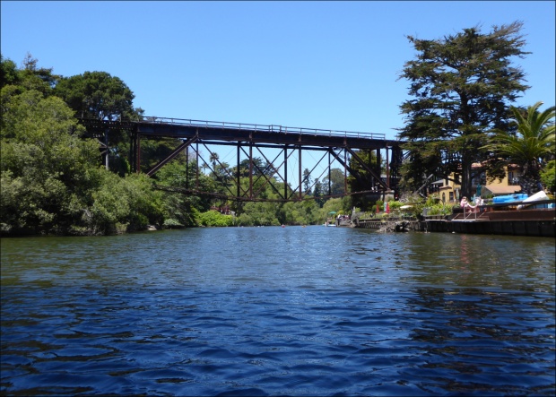
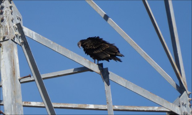
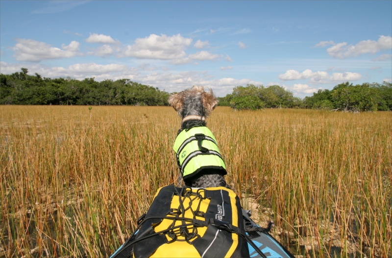
Cape Sable, the southernmost point of Florida, had been on our “To Kayak” list for about three years. The promise of Roseate spoonbills, American crocodiles, Florida gopher tortoise and Smalltooth sawfish, combined with the challenge of a 23 mile round trip ocean paddle, and the lure of secluded shell beaches made this an adventure worth working towards. This year we were ready.

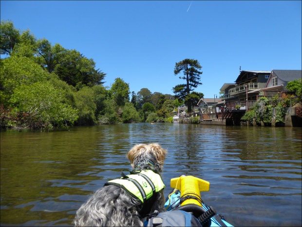
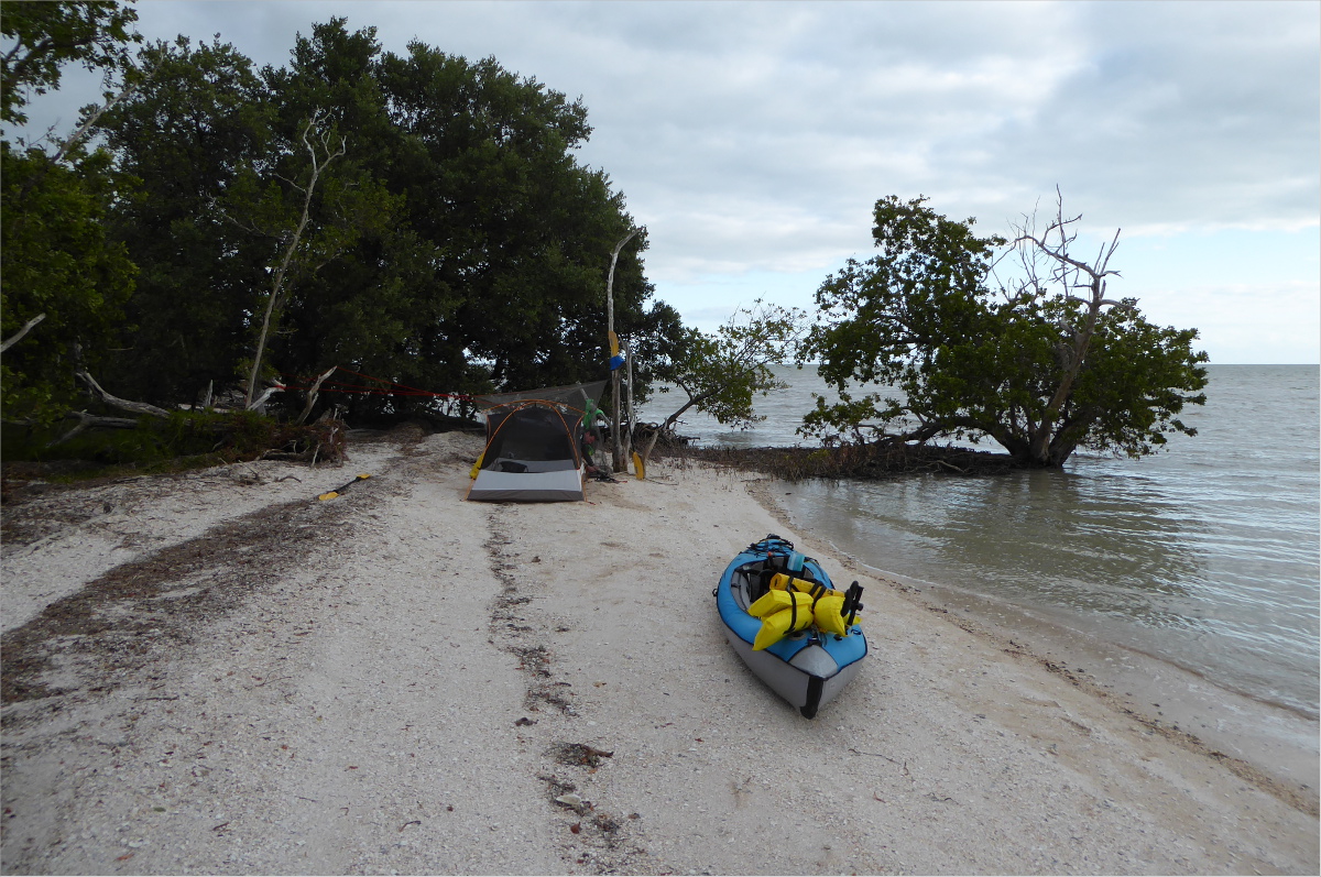
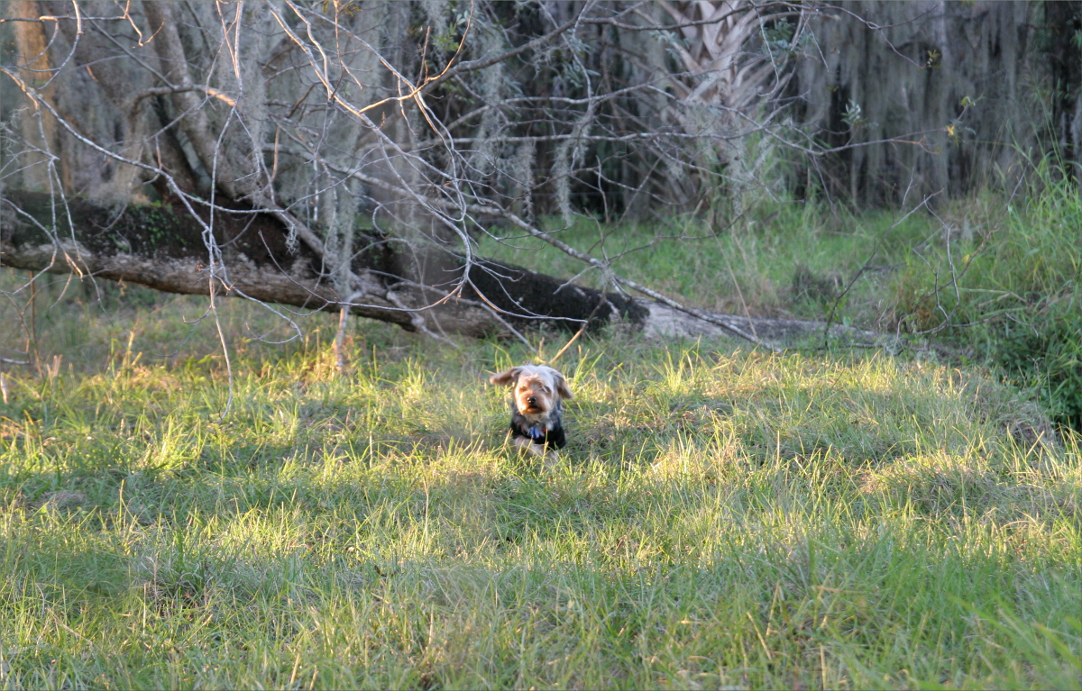
Gauthier had assembled a not unpraiseworthy collection of lightweight camping gear and we had improved our paddling skills and built up enough muscle and endurance to meet Florida Bay’s challenges. Currents, tides, winds, sun, and mosquitoes, we were prepared for them all. Ollie, unfortunately, had demonstrated that ocean kayaking was not his thing, so he stayed behind with his duncles and daunties (dogspeak for doggie uncles and aunties).

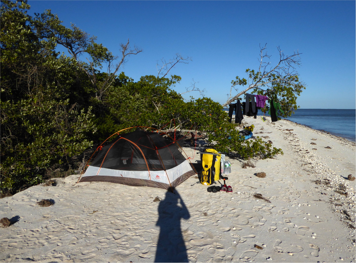
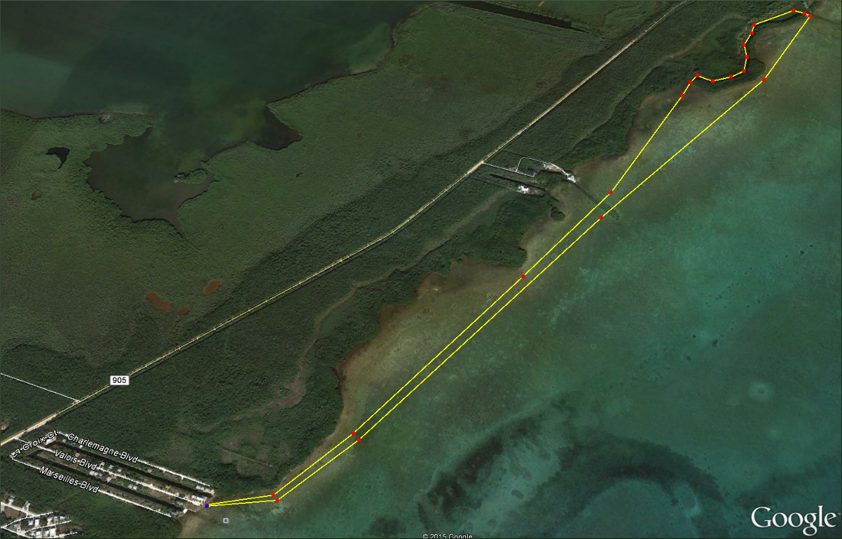
Our plan: Saturday, February 13, we would paddle 11 miles from Flamingo Visitor Center to Cape Sable. Sunday, we would paddle about half way back to East Clubhouse Beach. And Monday we would paddle the remaining five or six miles back to Flamingo Visitor Center.

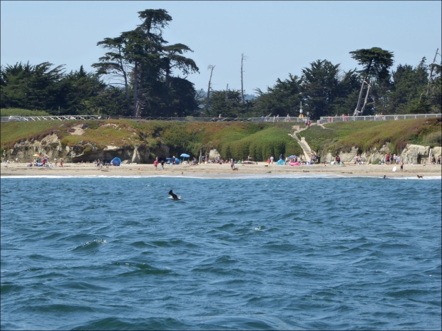
We arrived at Flamingo Visitor Center just as it opened at 8 AM to pick up our back country pass. During the ranger’s protocols speech, we were surprised to learn that we would face gusts of up to 25 mph on our return trip, something the forecasts of the previous day, which specified maximum gusts of up to 15 mph, had not mentioned. Somewhere in the back of my mind a voice said, “Should we postpone?” but my unhesitating response to the ranger was “I guess I’ll be getting more excercise than I bargained for!”

The mosquito condition was described as “moderate,” which is not bad by Florida standards so long as you use repellent (and not the Whole Foods brands, the real stuff) and have your tent set up before dusk, which is when they come out in force. We planned our paddle out to coincide with high tide. As the Bay drained, it carried us out towards the Gulf. We paddled against a north wind of around 10 mph, but it was easy going overall.

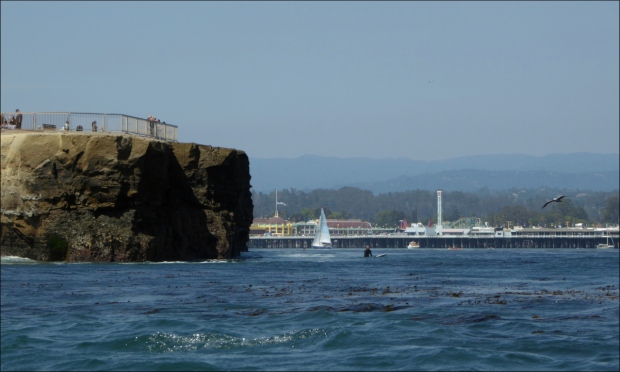
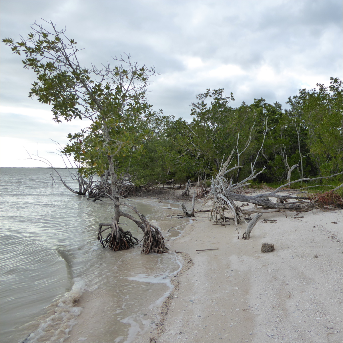
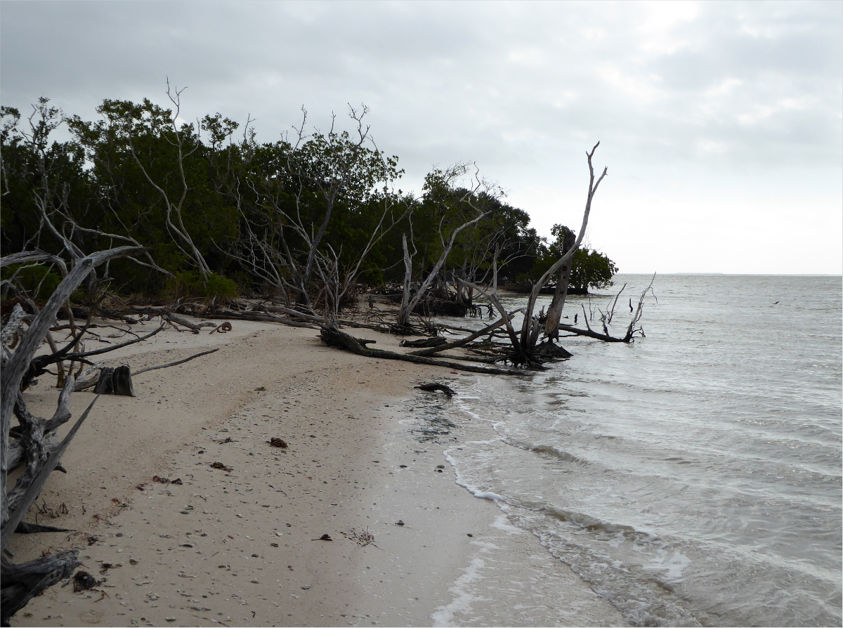
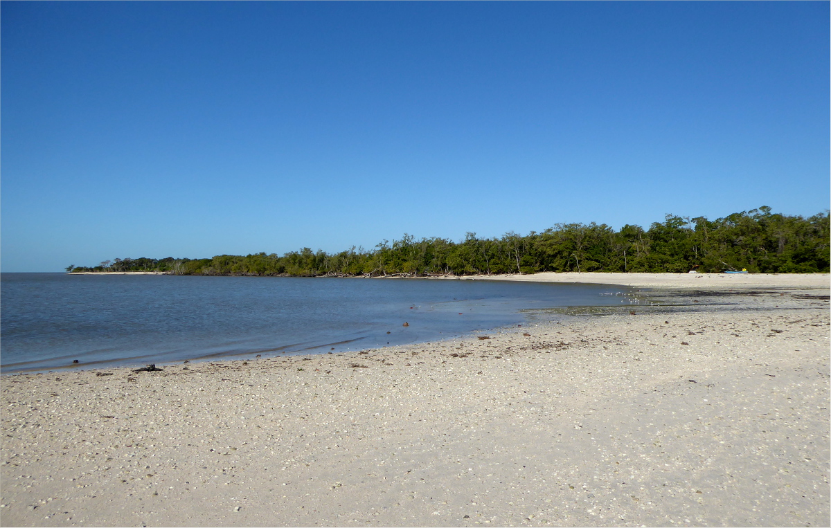
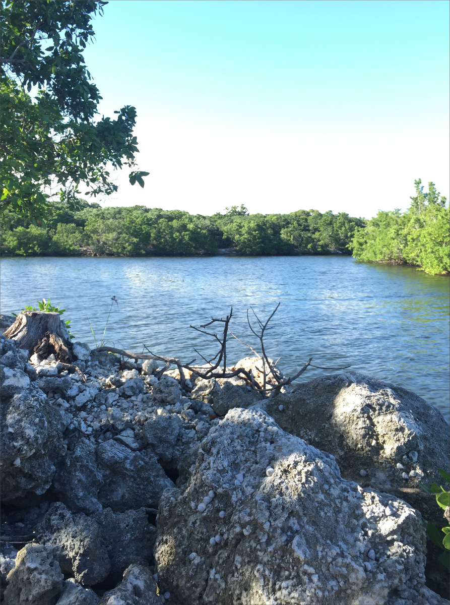
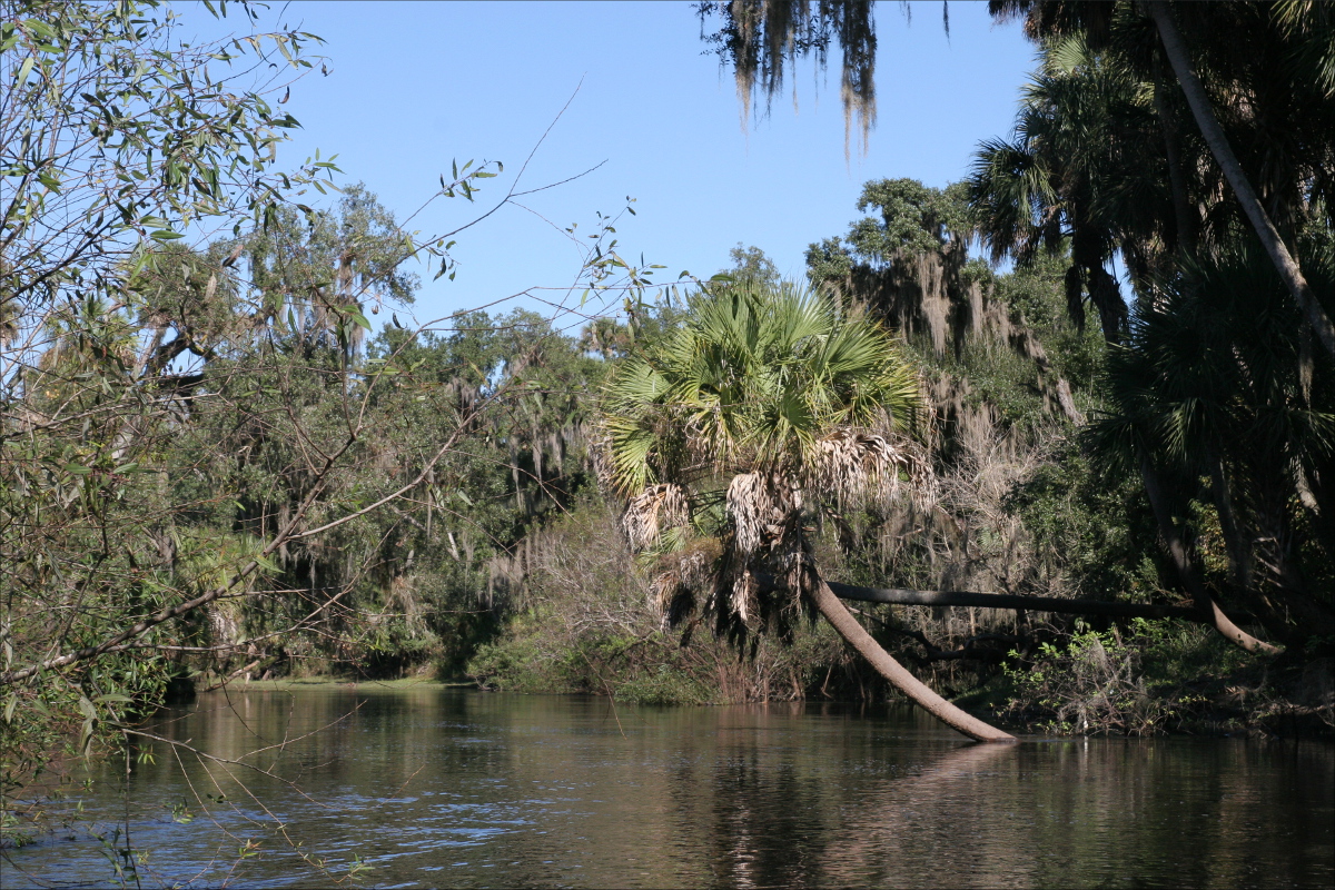
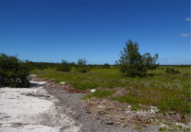
We had lunch at Clubhouse Beach, named for a clubhouse Flagler or another developer had wanted to build there many years ago, despite the freshwater marshes, marl prairie, saltwater lagoons and mangrove swamps.
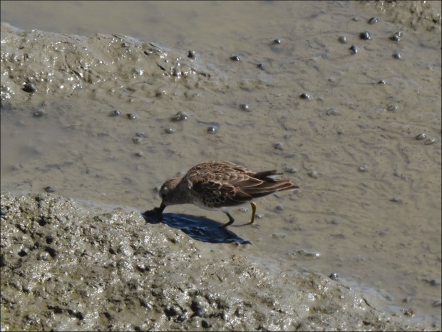
If you liked making mud pies or walking barefoot in the rain as a little girl or boy, you may appreciate Florida Bay mud. The sensation of Florida Bay mud squishing between my toes is something I am unlikely to forget. The shallow Bay and receding tide meant anchoring our kayak in the mud and walking to shore.

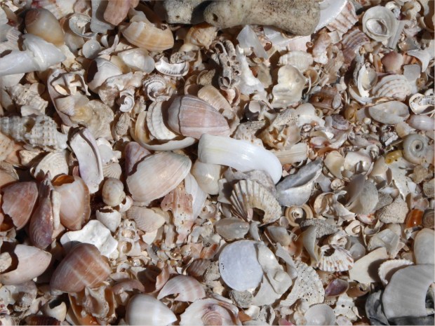
Dimples in the mud near the shore were filled with shells. Angel Wings, Angulate Wentletraps, Antillean Nerites, Atlantic Distorsios, Atlantic Slipper Shells, Calico Scallops, Cancellate Cantharus, Common Bubbles, Common Nutmegs, False Drills, Fan Scallops, Flame Augers, Florida Cones, Florida Fighting Conch, Florida Rock Shells, Fly-specked Ceriths, Golden Banded Cones, Lion’s Paws, Muddy Ceriths, Periwinckles, Rose Petal Tellins, Sanibel Drills, Top Shells, Turkey Wings, we saw them all! After three or four hour’s paddling, there’s nothing more relaxing than arranging shells in the sand.

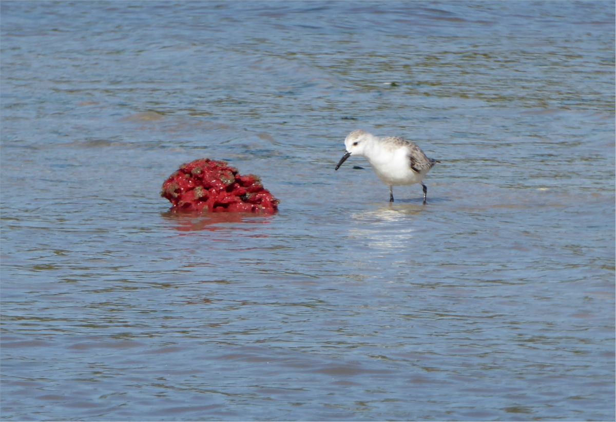
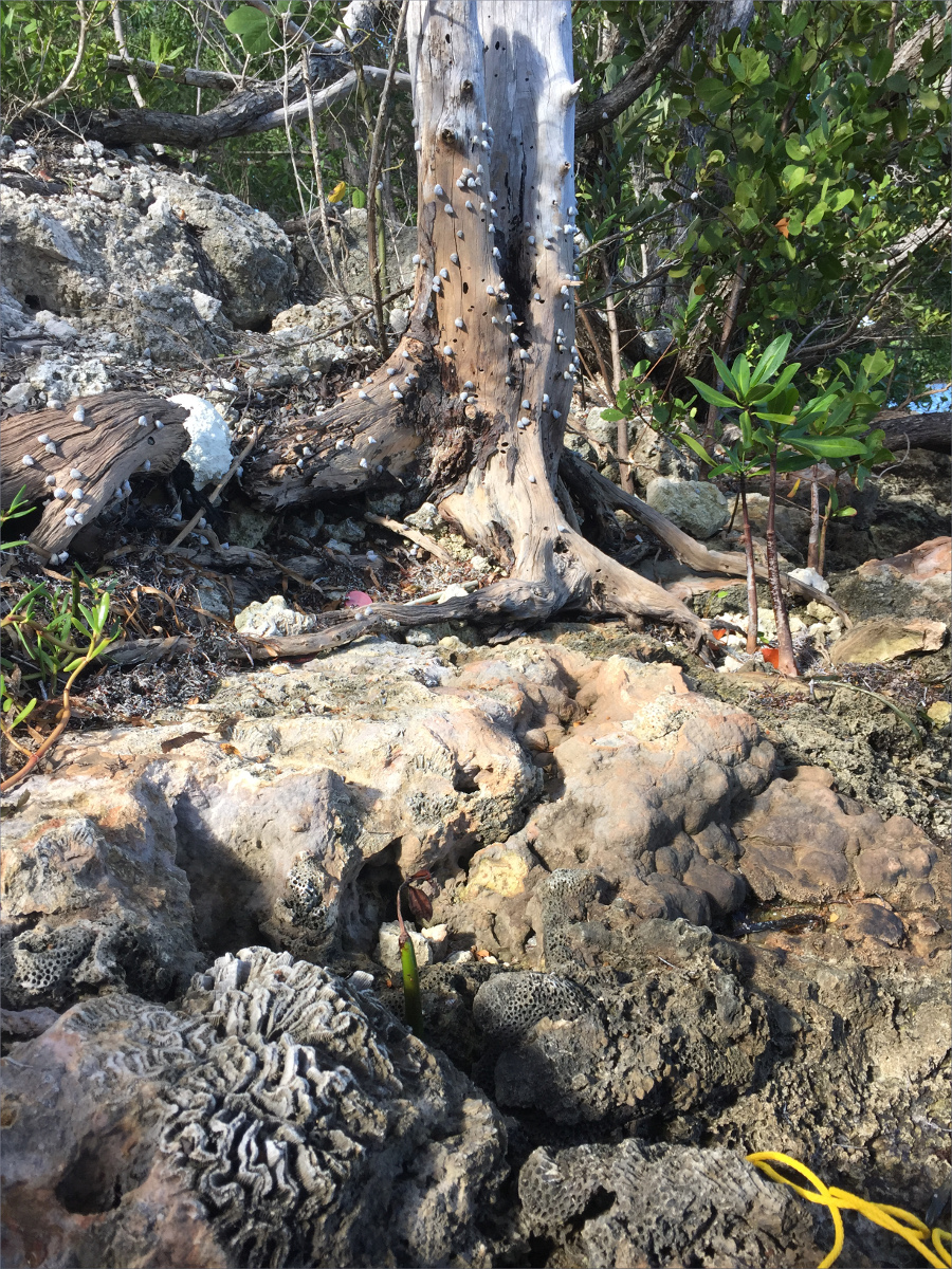
Sea pork: there is such a thing and if you venture out to Clubhouse Beach you just might see it. Sea pork is a small glob of cellulose that once housed zooids. Zooids are “a colonial animal that can survive only when connected with other zooids. Each has its individual personality, but collectively they exist as a single being with a shared goal of survival” according to an article in The Guardian (http://www.theguardian.com/environment/gallery/2013/oct/12/portuguese-man-owar-photography).

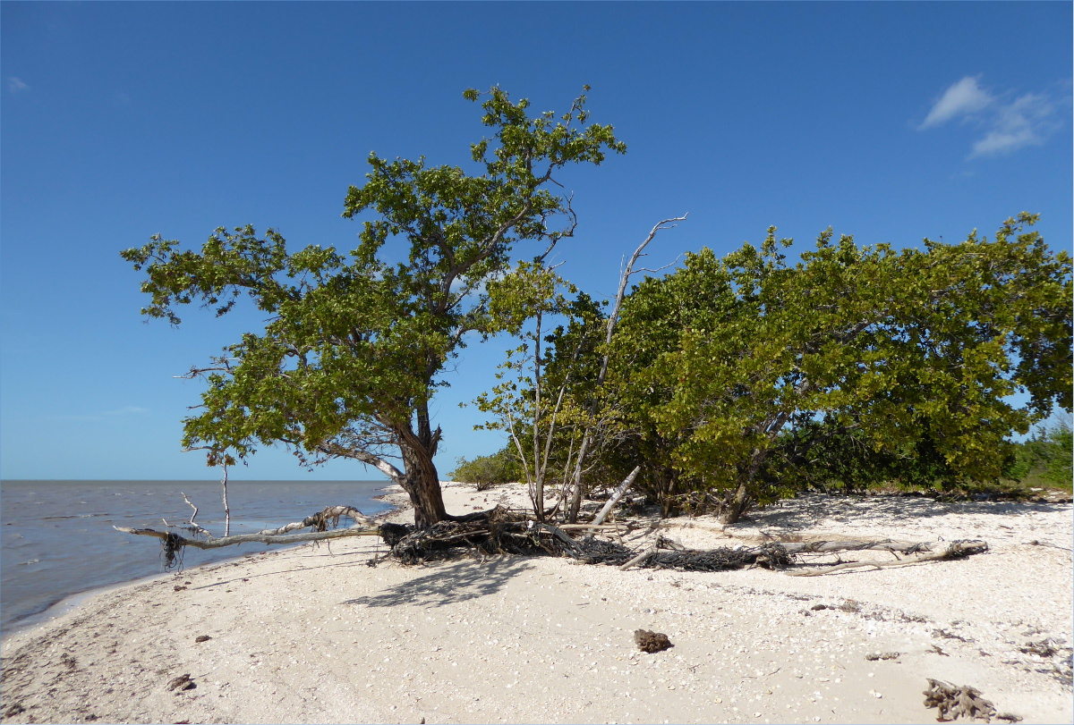
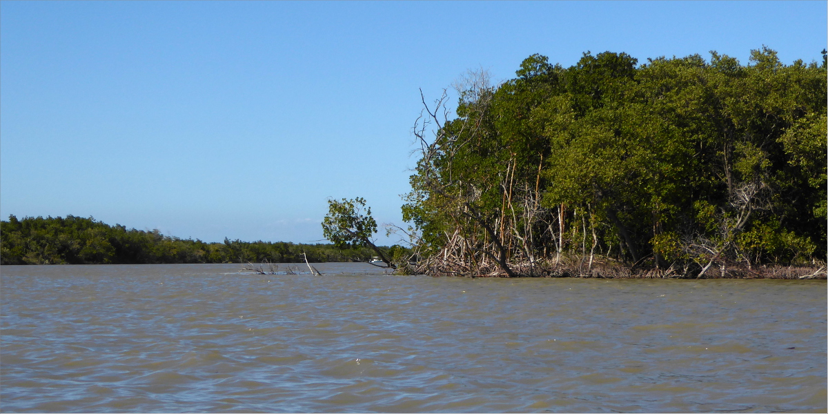
The Red mangrove below lent us its shade. I can never get my mangrove types straight, but here is a slice of mangrove wisdom from Florida International University: “Mangroves must survive the stresses of flooding and salt in the estuary. Red mangroves have prop roots that increase oxygen uptake and line the banks of keys and rivers in the Everglades. Black mangroves exude salt from their leaves and both red and black mangroves are well adapted to salinity changes” (http://fcelter.fiu.edu/education_outreach/Virtual_hydroscape/mangroves/?selected=fringe_mangroves).


Florida Tree Snails

Florida Tree Snail
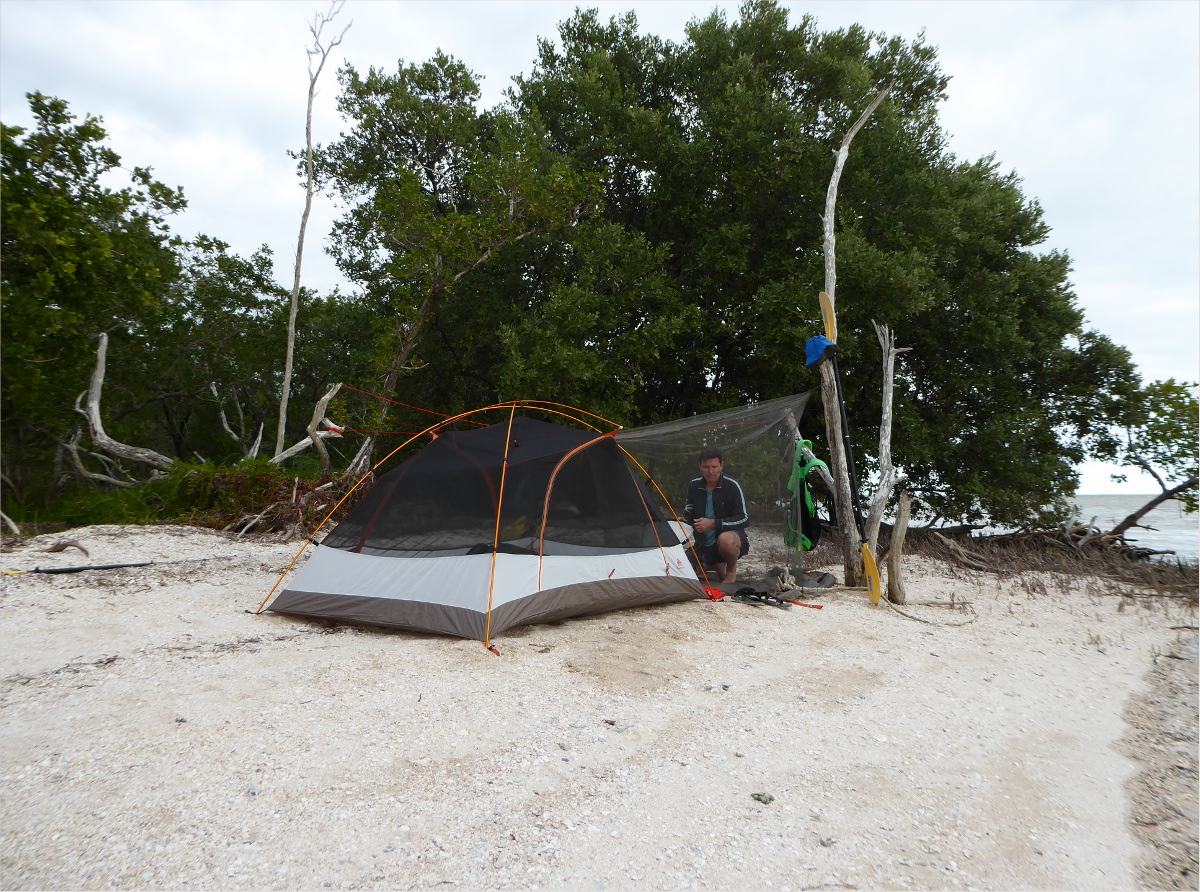
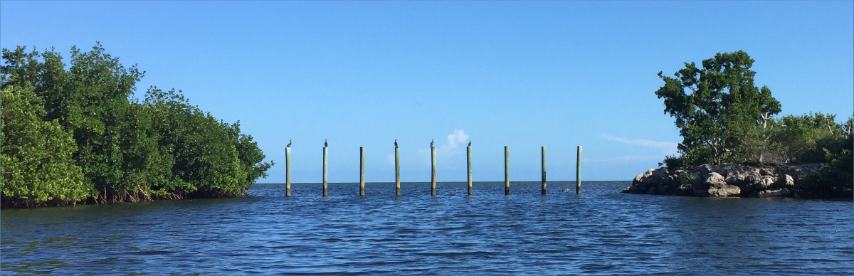
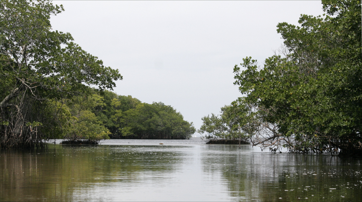
After an expertly crafted meal (Gauthier does love camp cooking), we paddled onwards to East Cape, the easternmost and closest of Cape Sable’s beaches. At MicMac Canal (below) we counted 900 strokes to East Cape.

MicMac Canal

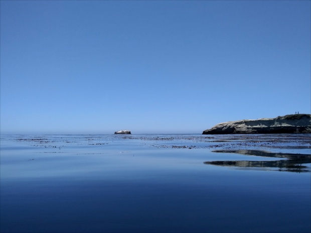
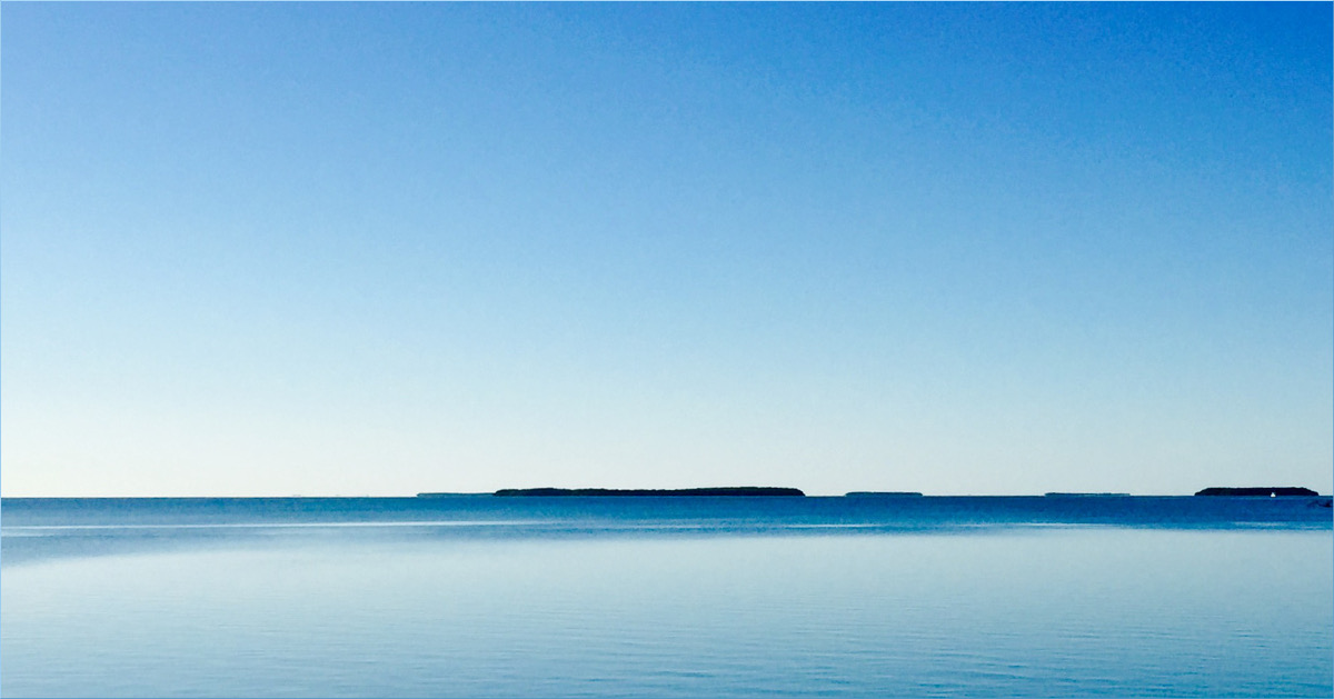
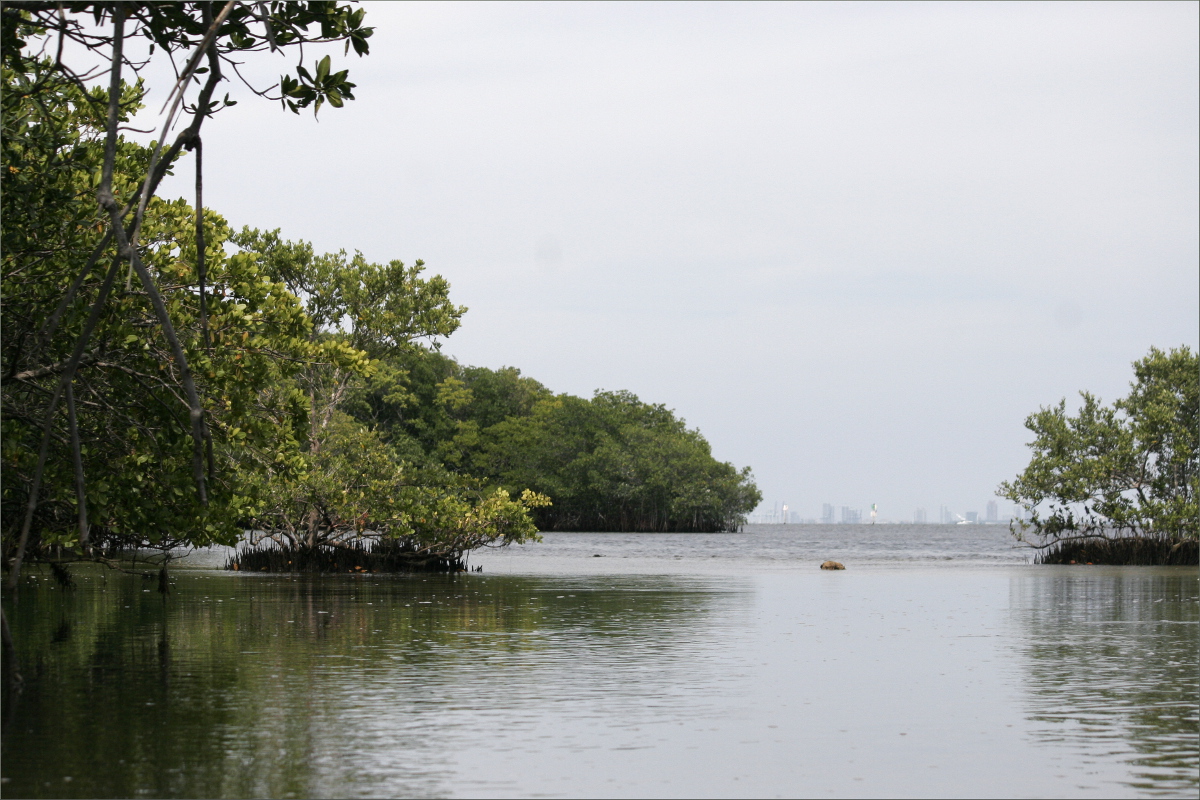
East Cape within view
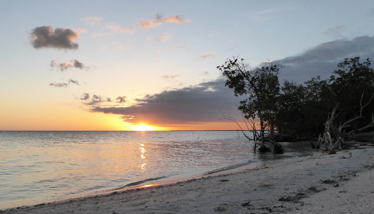
The endless blue sky and mangrove coastline allowed undulating thoughts of work and family to creep into my consciousness. Mangroves transformed into excel spreadsheets, the blue sky transformed into birthday cards, and the sunlight sparkling on the water transported me to a Brownie Guides meeting, Adelaide, Australia, circa 1990… Five girls in brown uniforms seated cross-legged on the floor around a container of silver glitter and a bottle of glue… The container of glitter falls over and ten hands quickly sweep it up before their leader, Lutana of the Moora Mooras, can find out… Five exuberant girls stand in a ray of sunlight, watching their arms and legs sparkle.

Resources Consulted
Saltwater Intrusion Threatens South Florida Parks
The Ecology of Florida Bay
Sea Pork

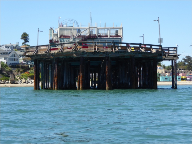
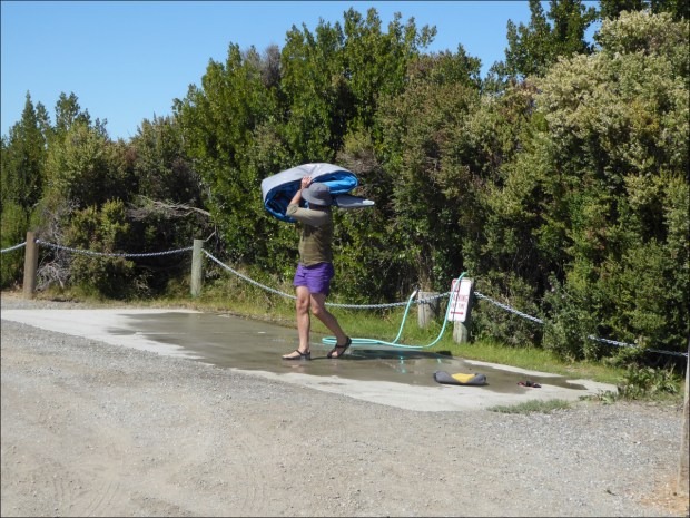
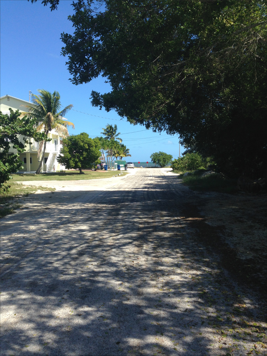
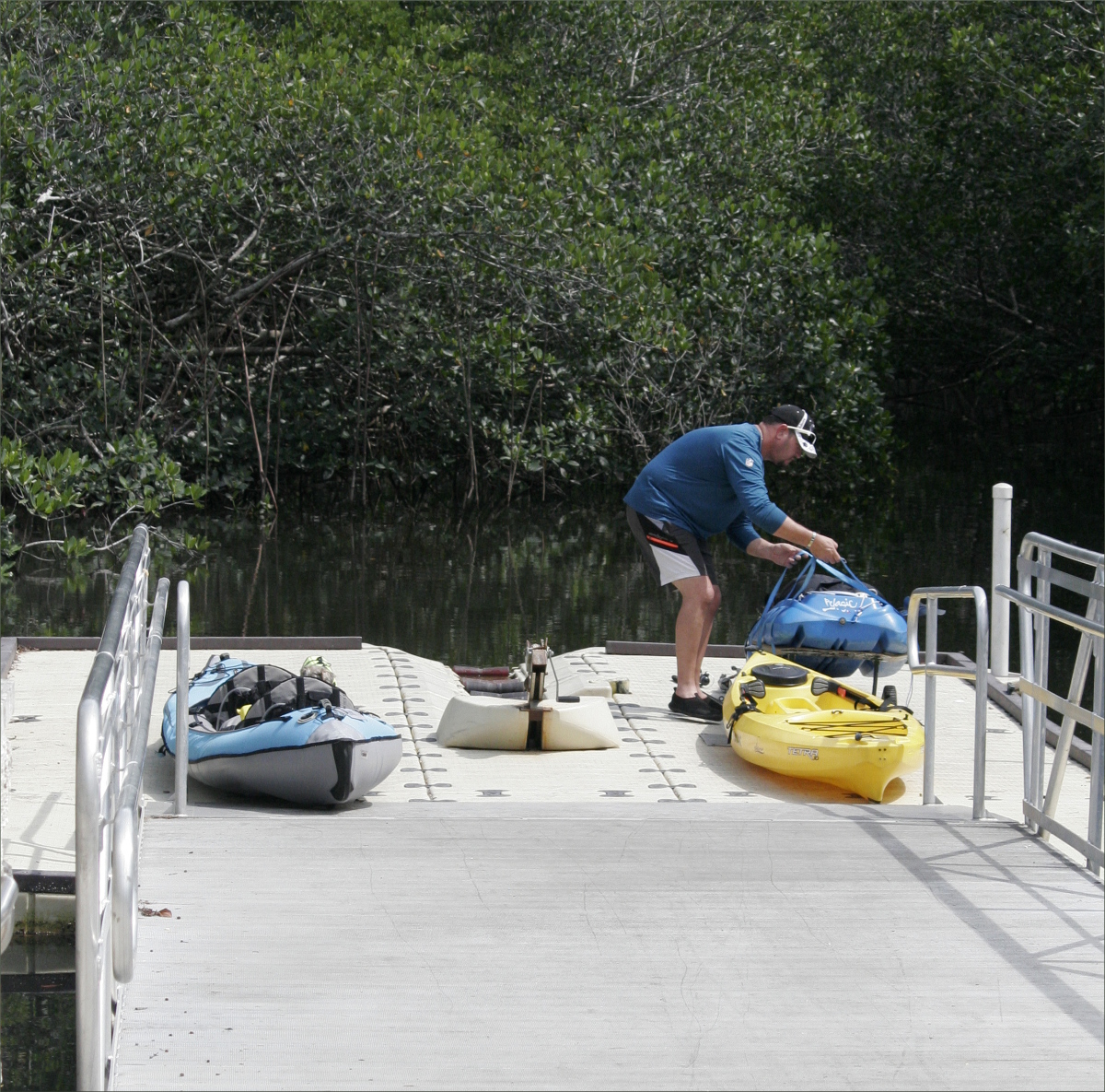
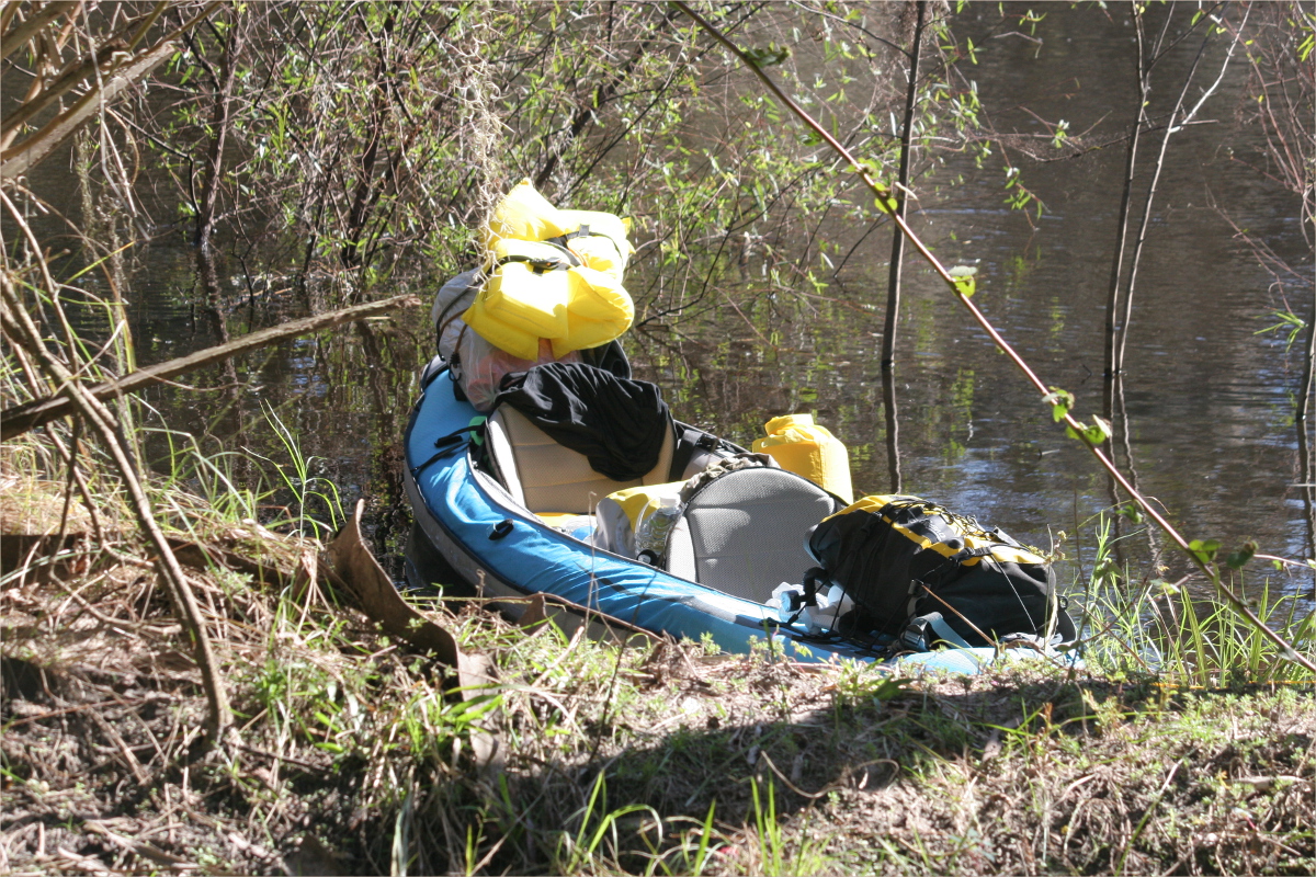
 To launch, we had to drop the kayak over a rail. Thankfully we’re both tall and don’t mind getting a little dirty, because, although the kayak is pretty light, we had to stretch our bodies out, anchoring our knees, legs and feet in the dusty ground in a funky yoga pose, to clear the gap between the platform and the rail to drop the kayak in the water.