My sister-in-law’s family recently moved to Saint-Raphaël, which means that we now have an excellent excuse to visit this spectacular part of the world!

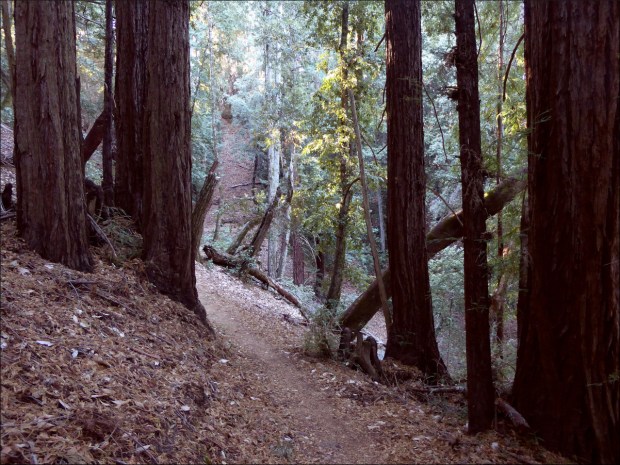
On our first visit, belle-soeur introduced us to dozens of interesting places, including one of the coolest trails I’ve ever been on, the Estérel coastal path.

She explained that the path was created as a result of French laws that view the coast as public property. The law has been hanging in the balance for the last thirty years as developers and environmental activists fight to change it.

And global warming is causing the coastline to move inward towards private property lines, which could also impact public access.

Given these threats to the path, we felt incredibly lucky to be able to hike it when we did.

Early one morning, we followed belle-soeur’s car to Agay where we parked our car, and then belle-soeur drove us back to the trail head in Port de Santa Lucia, in downtown Saint-Raphaël.

It took us about six hours to hike the 7 or so miles (11 or so km).

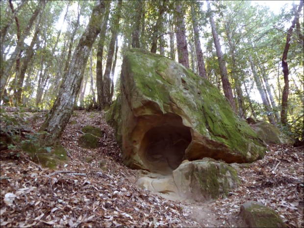
The terrain was unreal. The City of Saint-Raphaël’s website offers a really helpful, concise overview of its coastal geology, and is in general a great resource.

We scrambled over volcanic organ pipes,

solidified volcanic ashes dating from the Mesozoic period 65 million years ago,

and beaches of esterellite pebbles,

the hardest rock in France! In Roman times, esterellite was extracted from mining sites around St Raphael, and used to pave roads and monuments.

The going was tough, and Oliver had to be carried at times.

We were occasionally assisted by stairs cut out of rock and repaired with concrete.

There were few trail markers, but finding the path was part of the fun!

It was remarkable to think that we were sharing a view with the owners of the beautiful mansions that line the coast.

Our path came to an abrupt halt at a damaged levee possibly caused by construction on an adjacent luxury hotel.

Does the abandoned construction in the background hearken back to the days of stricter coastal property laws? And why was the construction in the foreground abandoned… bankruptcy?
It seemed like a sure sign of the times.

The water was so clear and calm, and the weather so sunny and warm that we were tempted to jump in and swim the four or five feet to the other side.

But I was worried about Ollie, who was very nervous, so we backtracked until we found a way back to the Route de la Corniche.

Our makeshift path back to the Route de la Corniche.
We walked along the shoulder of the road for about a mile before connecting to the sentier littoral du Cap Dramont,

which took us to Agay, where we sipped chocolat chaud as we watched the sun slip behind the horizon.

Can you see the sailboat?
Next time we intend to kayak the route.
Resources Consulted:
L’Estellerite, AzureAlive
Esterel Coastal Path, Saint-Raphaël Tourism
“Managing the Coast in France,” Littoraux et Changements Côtiers