26°56’21.73″N 81°19’06.17″W elev 39 ft
Fisheating Creek Outpost, 7555 U.S. 27, Palmdale, Florida, 33944

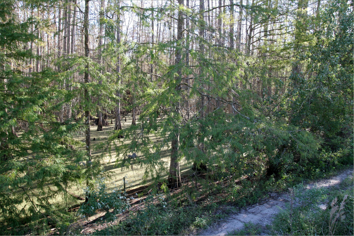
The view from our campsite

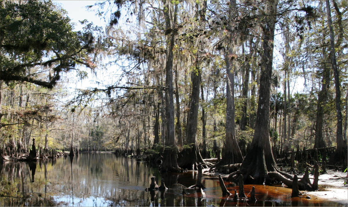
The water appears the color of copper because Fisheating creek is a blackwater river. The water is stained from debris that has settled at the bottom of the river.

The creek becomes shallow in the autumn, but during the summer it floods the forest.

Footprints
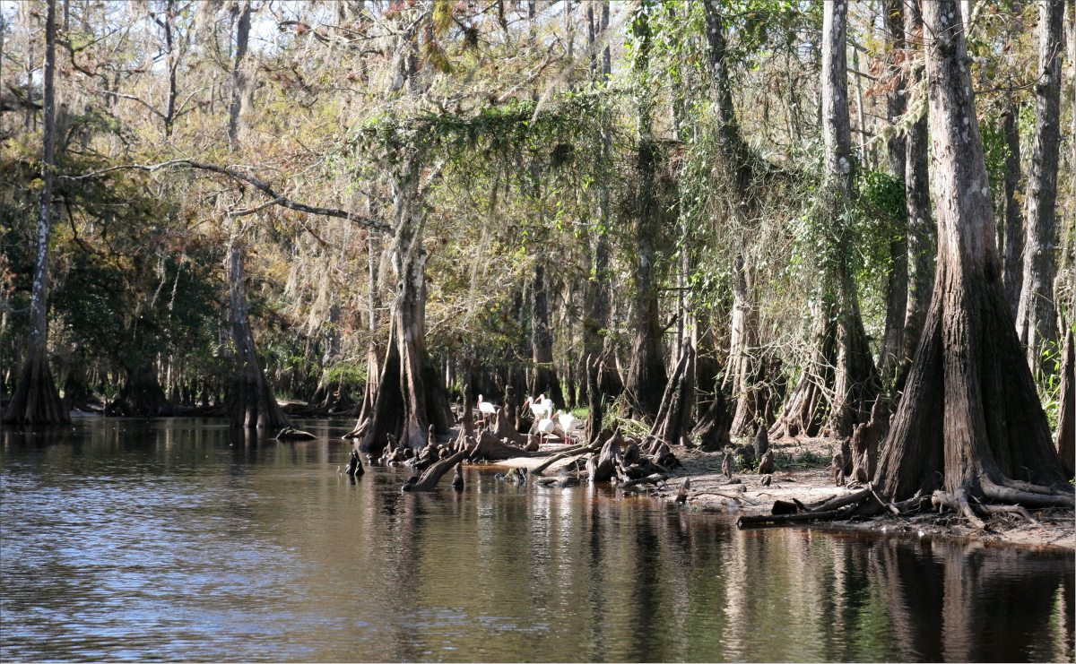
This is ibis country


Can you spot the ibis?

Stork


This massive cypress dome is about six feet in diameter.

Song bird on a cypress knee

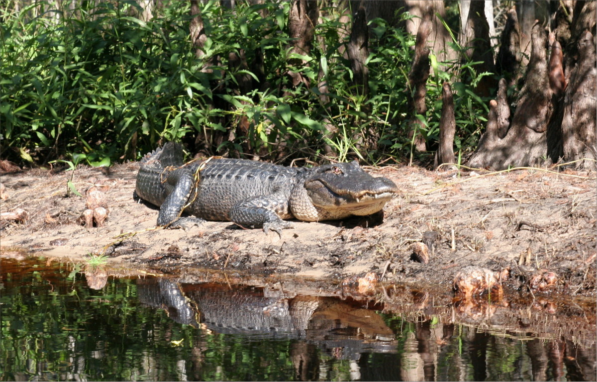
We saw lots of alligators


Florida red-bellied cooter

Egret (I think)

Oliver!

This massive hornet’s nest was about five feet tall.

Spanish moss
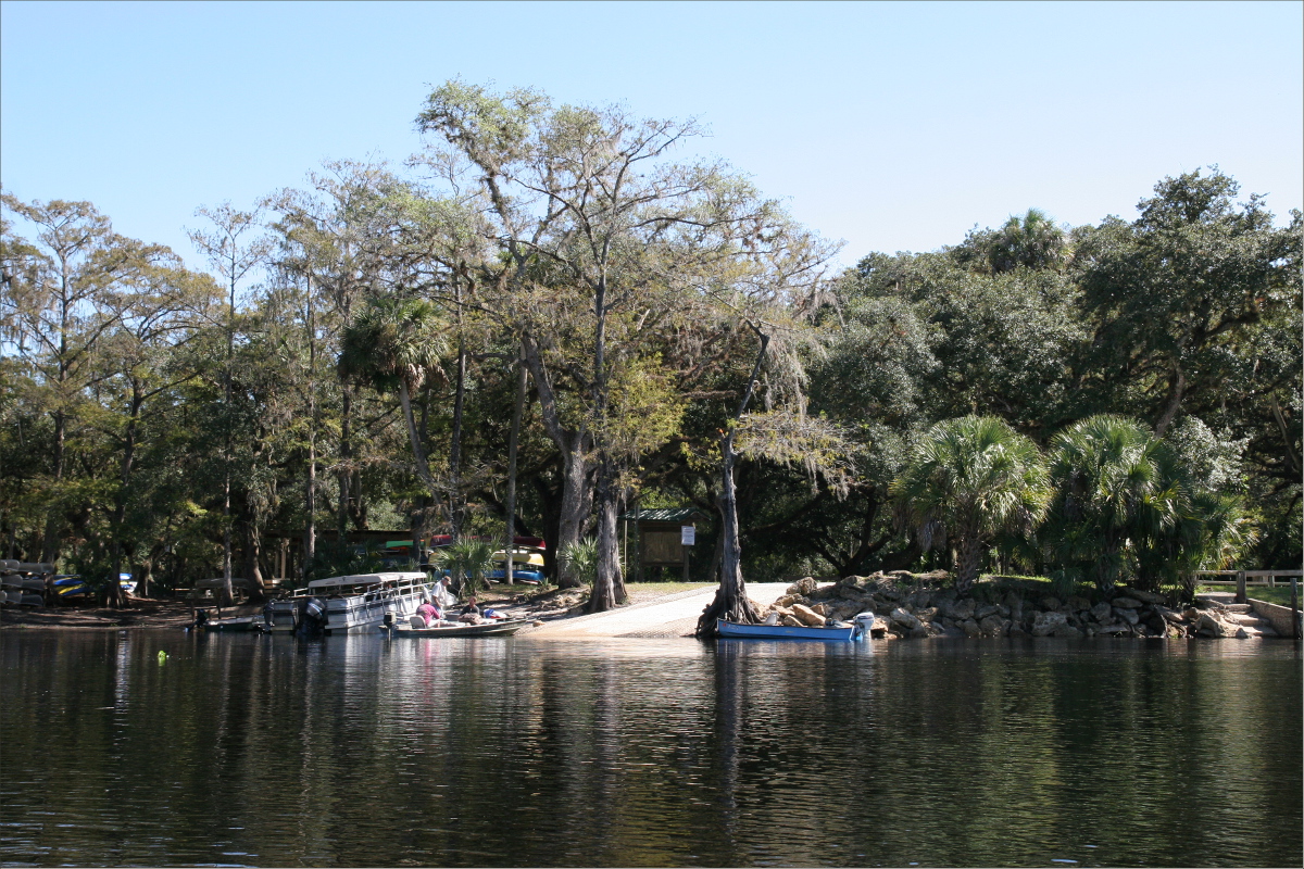
Camp store
This flooded forest intersected Service Road 731.

Service Road 731 takes you through the town of Venus, Highlands county, home to the experimental architecture project “The Venus Project”. The red circle represents the location of the flooded forest.

So long and farewell!
