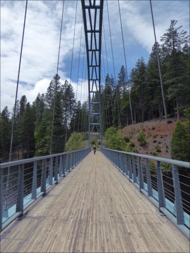
902 ft maximum height
National Trails The Ridgeway Trip Planner
We spent a lot of time at the public library when we first moved to the UK, and one day we checked out a travel guide about the ancient Ridgeway trail, Britain’s 5,000 year-old road. Captivated by visions of neolithic pilgrims, Roman soldiers, Viking and Saxon invaders, drovers and traders, we promised ourselves we would cycle it as soon as the weather warmed up.

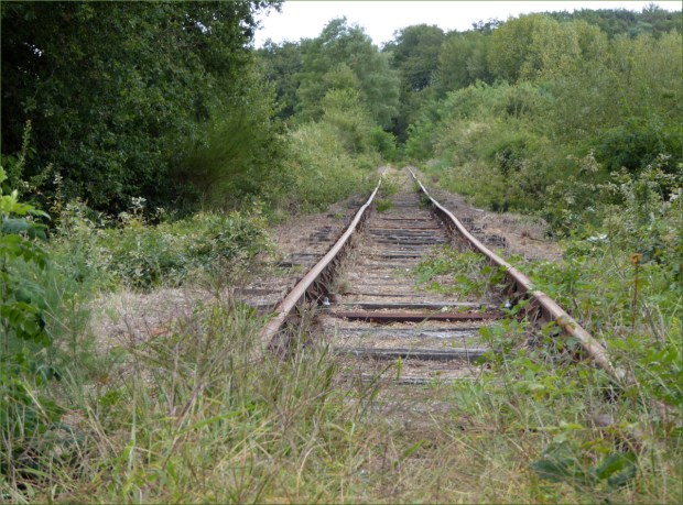
Originally a complex of braided tracks along the 400-mile chalk crest of the North Wessex Downs and The Chilterns, some as much as a mile wide, with subsidiary ways diverging and coming together, today the exact course and width of the tracks is defined by earth banks, thorn hedges and barbed-wire fences. This change occurred over two-hundred years ago during the local Enclosure Acts of 1750, which saw common land transferred into private hands.
In 1972 the 87-mile central section was approved as The Ridgeway National Trail. Most of the remainder has been way-marked, however, and is shown on Ordinance Survey maps under different names. Some local landowners objected to the Trail, so in 1987 the Countryside Commission charged all local highway authorities with ensuring that every footpath be unblocked by the year 2000. Lawsuits were filed and today access to the Trail is unfettered.

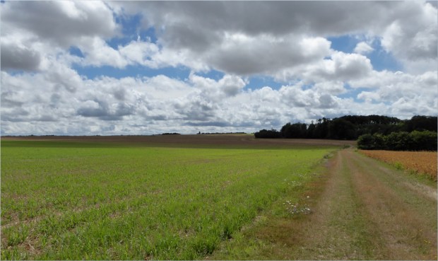
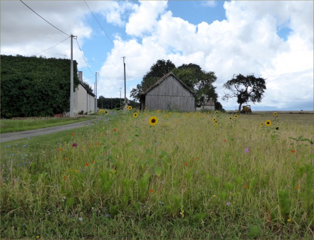
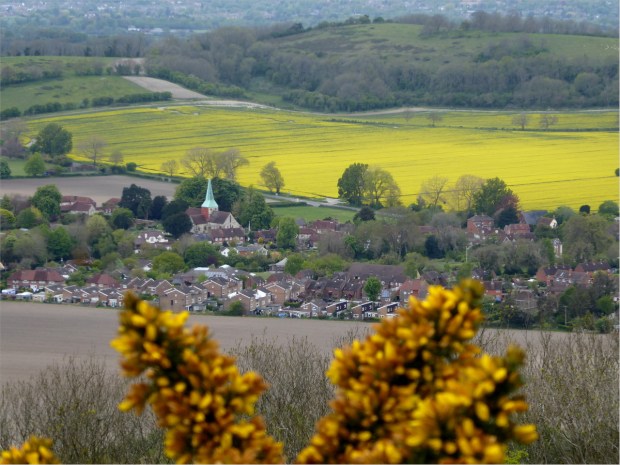
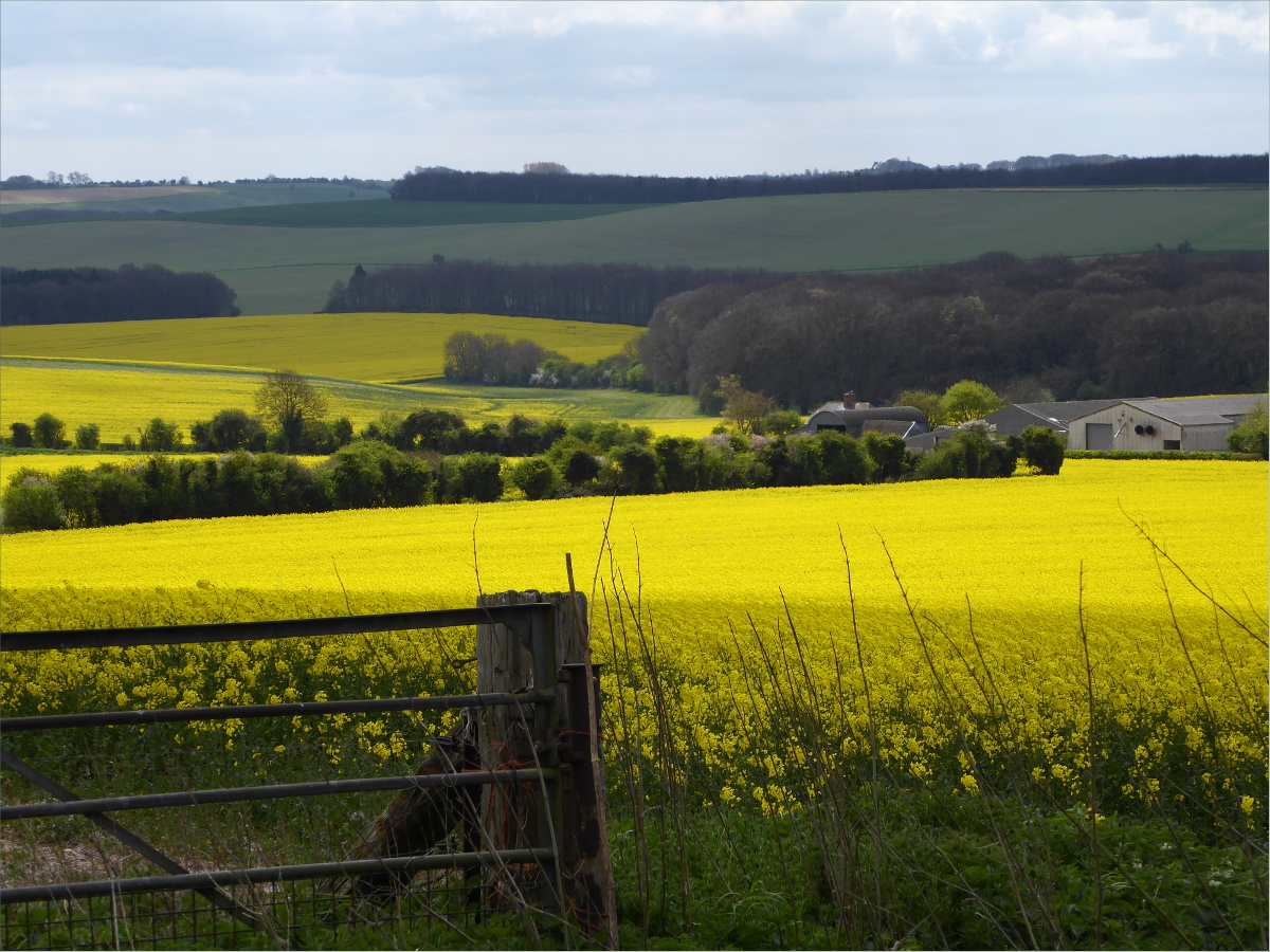
Spectacular, bright-yellow fields of rapeseed were in bloom everywhere.
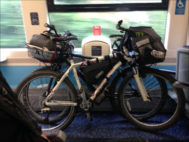
The streets were eerily quiet on Good Friday morning when we cycled to Paddington Station via Hyde Park to catch the 0927 to Swindon. We were glad we’d made bike reservations as space for bikes is limited on GWR trains and some cyclists were turned away.

We had a thorough ride itinerary that considered routes, weather, accommodations and food for both ourselves and Ollie. Our route avoided car traffic as I can’t enjoy cycling with cars whizzing by. The plan: day one we would cycle Swindon to Avebury and back to Swindon (25 miles), day two we would cycle Swindon to Wantage (25 miles), and day three we would cycle Wantage to Reading (25 miles) where we would take the train back to London.

We used four mapping websites: 1) Sustrans provides a map of the National Cycle Network, or NCN, which is a series of safe, traffic-free paths and quiet on-road cycling and walking routes that connect to every major town and city in the United Kingdom; 2) CycleStreets caters to the needs of both confident and less confident cyclists and provides an exceptional map of bridleways and footpaths, some of which are all but hidden from the naked eye; 3) Walk4Life, originally government funded, provides trail characteristics, such as surface (flat, firm), barriers and hazards; and 4) GoogleEarth street-view helped us visualize the route.

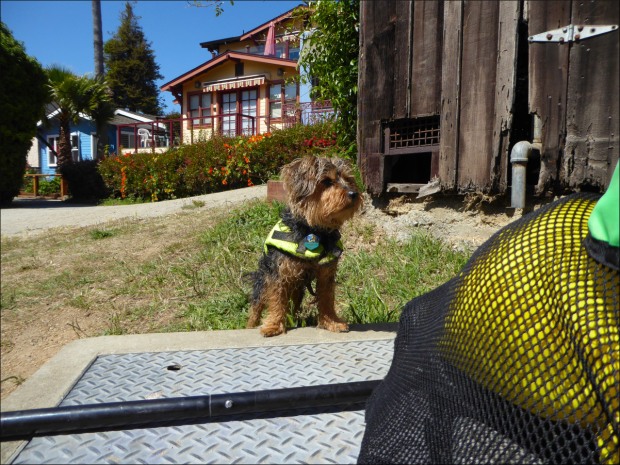
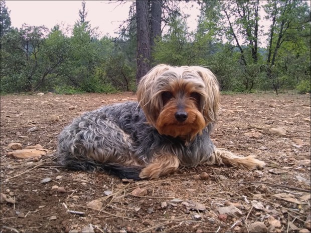
Ollie patrols the perimeter at Three Trees farm shop.
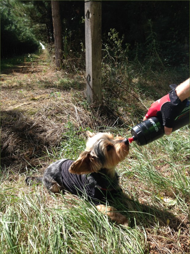
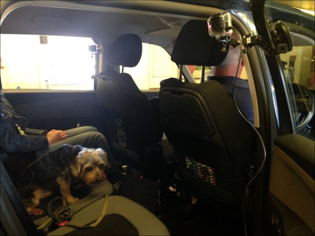
We packed light. We carried 12kg, including Ollie and a thermos full of tea: Ollie – 5kg, Ollie’s bag – 800g, tea thermos and water – 2kg, change of clothes – 1.5kg, bike lock and tools – 1kg, food – 1.5kg. We used front racks rather than panniers as front racks distribute weight more evenly. Packing light was important because my bike has only three speeds.
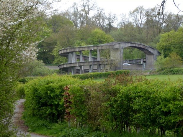
The M4 pedestrian/cycle overpass.
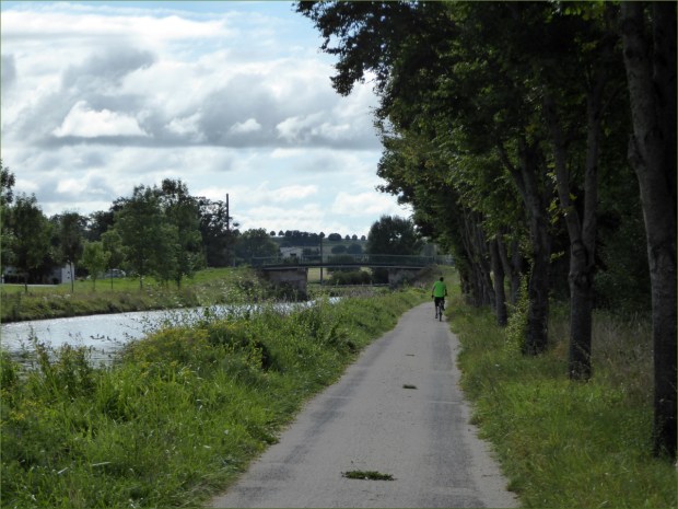
NCN 45 connects to the Ridgeway and is well-marked and easy to find from Swindon Station. It’s a 30 to 40 minute cycle from the station to the trail. If you plan on taking this route, note that this section of NCN 45 follows both footpaths and minor roads, so pay attention to signposts.

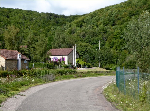
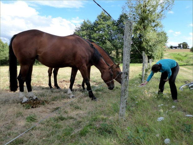
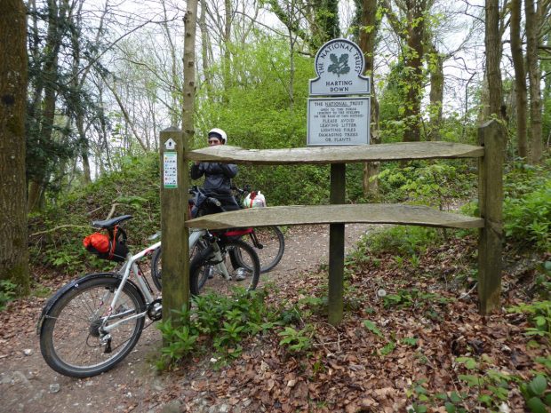
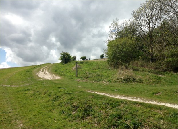
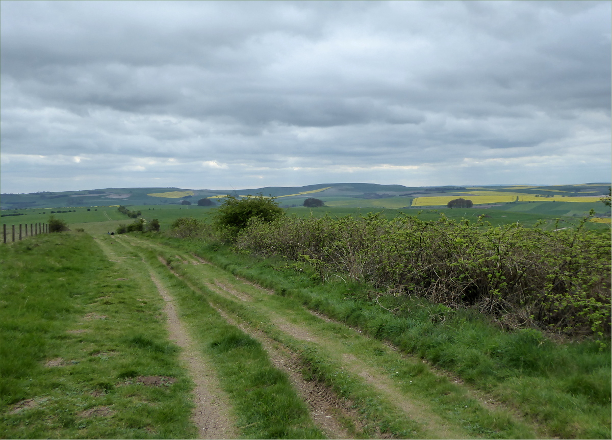
We stopped at Three Trees farm shop, where we snacked on delicious scotch eggs and Belgian buns and picked up some Wiltshire blend tea. From Three Trees we took the NCN 45 northwest to some minor roads that took us through scenery out of a story book until we reached a track that led up the side of the down.

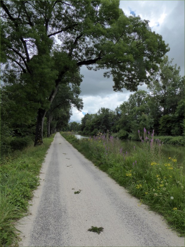
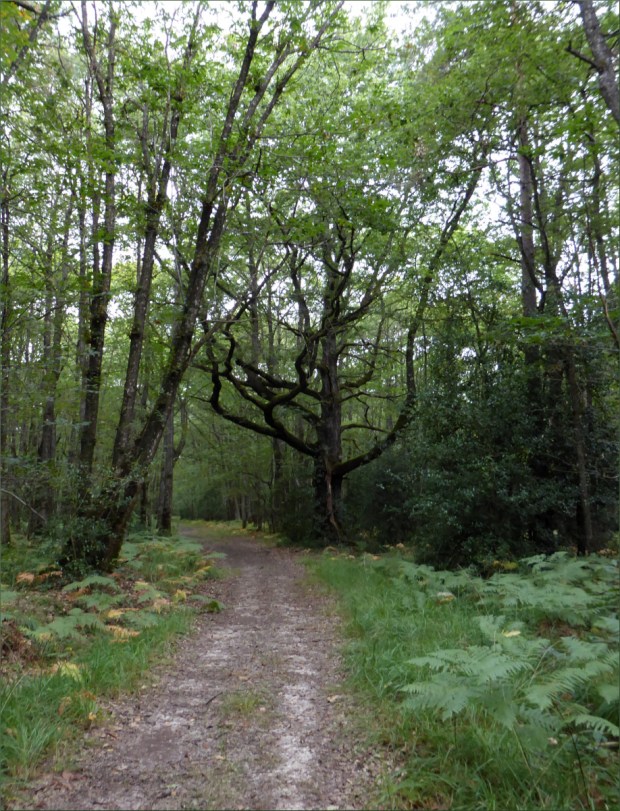
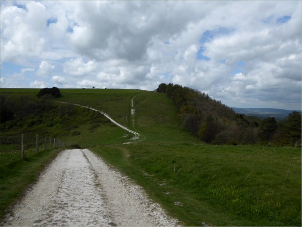
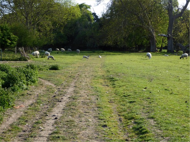
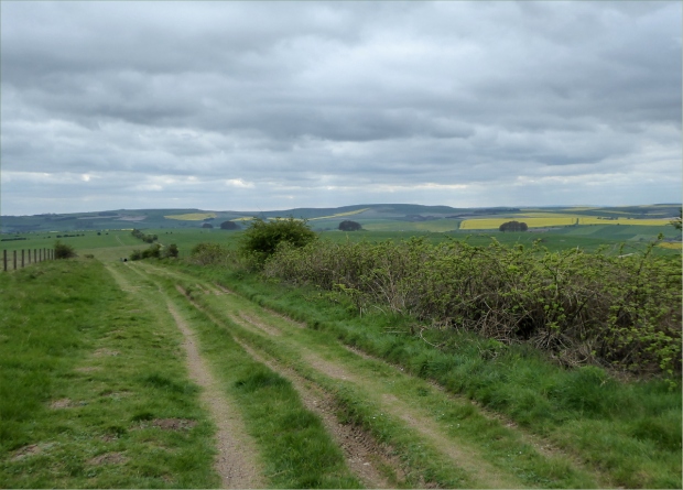
The track was paved for about three miles and then turned into a multiplicity of dirt-based surfaces for the duration of the ride to Avebury, which was to be our destination before heading back to Swindon for the night. We stopped several times to inflate or deflate our tires to adjust to trail conditions. There were few other cyclists, but many hikers. The trail is intersected by roads, so it is easy to ride or hike small sections.

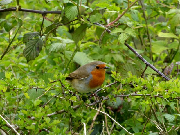
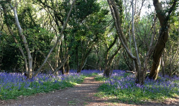
Birdsong followed us throughout the trip as we passed through Marlborough Downs before reaching Avebury.

“In 2012 the Marlborough Downs farmers formed a unique partnership and began to work together to make space for nature on their farms. Originally government funded, the partnership involves over 30 farms covering 25,000 acres of Wiltshire countryside.”

“One of the most important geological sites in Britain. Natural events have created valleys with spectacular quantities of sarsen stones, which now support rare and unusual lichens. The remains of settlements, field systems, burial mounds, ancient tracks and the widespread working of sarsen stones show that people have worked and lived in this downland landscape for over 7,000 years. The reserve is part of the Avebury World Heritage Site.”

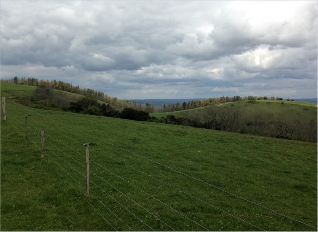
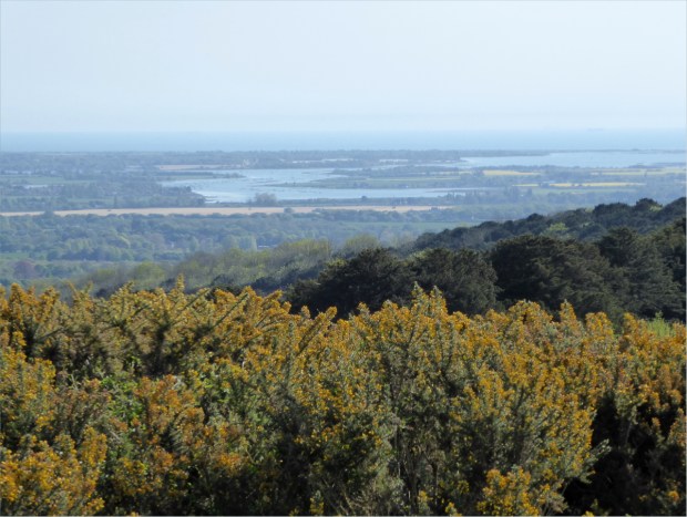
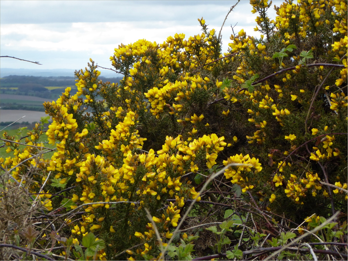
What we found most striking about the chalk grasslands of Fyfield Down were the giant, yellow-flowered broom bushes and the large, silicious sandstone boulders (i.e., sarsen stones) that were transported to the area through glacial action during the ice age.

Fairly significant sections of the trail are sadly deeply rutted by motor vehicle traffic, which is very detrimental to walkers and cyclists alike, as well as being ugly and unnatural-looking, although it does provide an outstanding opportunity to practice some technical riding. Riding the rutted parts in sustained rain, with puddles and mud, would be hellish, so it’s important to pay attention to the weather forecast.

It’s also uphill for a good third of the way. The combination of ruts, ascents and an 18 mph wind in our face made the ride challenging, but it was totally worth it.

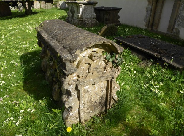
Ridgeway trail terminates a few miles before Avebury in a gigantic mound complete with standing stones. The sarsen stones were dragged from the surrounding hills in the late Stone Age. We found it interesting that whereas henges with defensive purposes have ditches with external banks, Avebury Henge, like Stonehenge, has an inside ditch. We also found it interesting to note how well protected the Henge was from the wind, situated as it is in a valley.

Standing inside the bank, looking at the massive stones, contemplating the incredible amount of labor needed to create such a monument was awe-inspiring. English Heritage points out that henges such as Avebury’s “bear witness to the existence over many hundreds of years of a great civilisation in this part of Wessex. […] The sheer amount of labour required to excavate the huge ditches, to gather, transport and erect the massive stones, and to raise the strange mound of Silbury Hill, indicates the availability of a substantial population, and the quality of the work, particularly in the latter stages, shows their considerable skills.”

Apparently, by the 1930s many of the stones had fallen over and the site been disfigured by buildings. English Heritage explains that “the appearance of the site today owes much to Alexander Keiller, heir to a fortune made from the famous Keiller marmalade, who bought the site and cleared away buildings and re-erected many stones in the late 1930s.” I found out a little more about Alexander Keiller’s role from some documents stored at The National Archives.

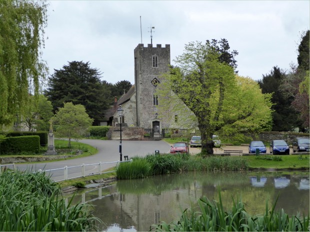
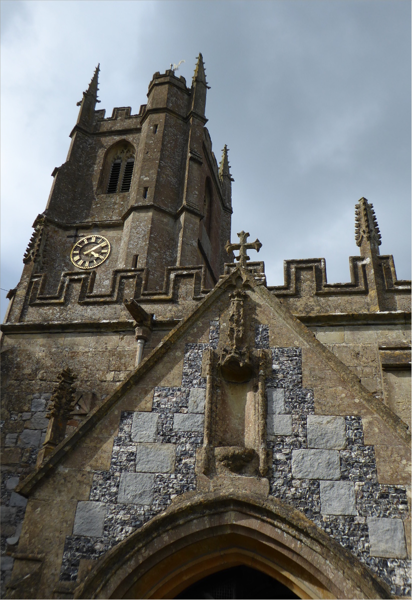
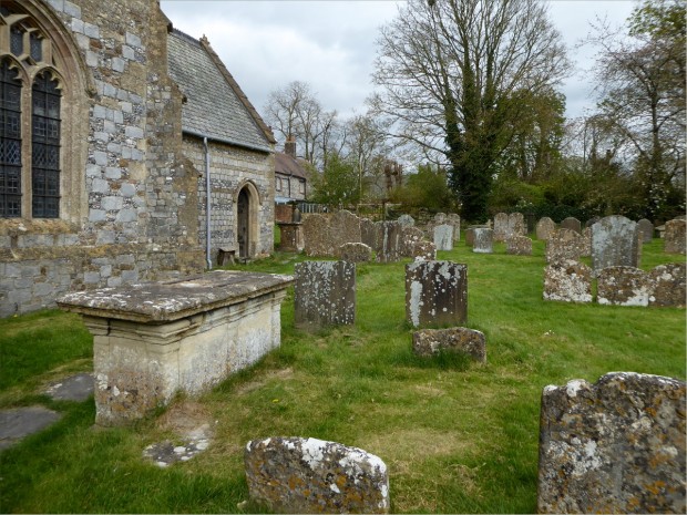
In addition to exploring the Henge, we ate at the Red Lion where we were entertained with stories about thatch rooves and hidden rooms by a retired historic building conservation consultant, and admired St. James Church, the earliest parts of which date from 1,000 CE.
We did not have enough time to do Avebury justice. That would have taken at least four hours. Also, bringing a dog placed limits on what we could do. We would have liked to visit the 16th-century manor house (you can actually touch the furniture and lie on the beds!) and the Alexander Keiller Museum.

With the wind at our backs and a mostly downward journey, the trip back to Swindon was swift and fairly painless. It would be a lie to say we weren’t suffering a bit by the time we arrived at our hotel around 7pm. Among other aches and pains, I had somehow acquired a sunburn on my lips. We stayed at TravelLodge. It was clean, quiet, well-located, had a bar and 24 hour restaurant and, most importantly, accepted dogs and bikes.

Swindon is an interesting city rich in railway heritage. Swindon’s rail workers received health care that became a model for the NHS, and access to personal enrichment programs that included xylophone lessons. It also had the UK’s first lending library. Today it is home to Oxford University’s Bodleian Library book depository, which contains 153 miles of bookshelves. It also has the English Heritage National Monument Record Centre and the headquarters of the The National Trust. And apparently you can see iconic punk-rock bands, such as the U.K. Subs, play live at local dive-bars for £8 (if only we’d known this sooner)!

To read more about our experience cycling the Ridgeway Trial, see our posts for Day 2 and Day 3.
Resources Consulted
Atlas Obscura: Found A Hidden Stone Square Inside the World’s Largest Megalithic Stone Circles
Friends of the Ridgeway: The Ancient Ridgeway
Fylde Ramblers Walking Holidays: The Ridgeway, 4th April to 10th April 2013
History of Avebury Henge and Stone Circles
Introduction to Heritage Assets: Prehistoric Henges and Circles
Swindon (Wikipedia)
Walking World: Ridgeways

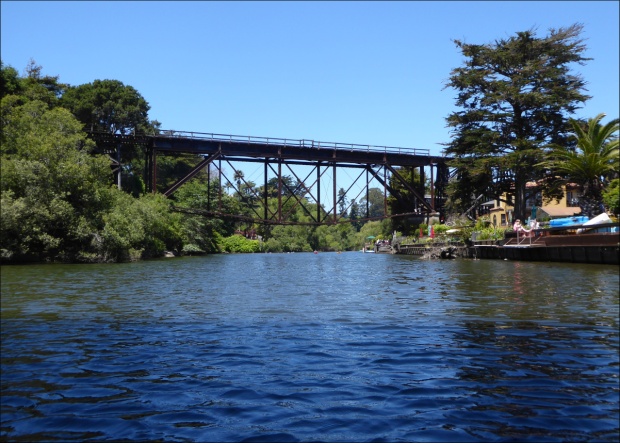
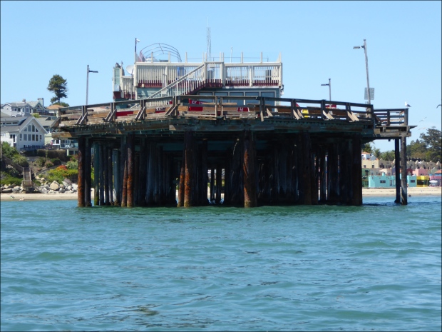
 To launch, we had to drop the kayak over a rail. Thankfully we’re both tall and don’t mind getting a little dirty, because, although the kayak is pretty light, we had to stretch our bodies out, anchoring our knees, legs and feet in the dusty ground in a funky yoga pose, to clear the gap between the platform and the rail to drop the kayak in the water.