Mount Shasta jumped to the top of our list of places to explore when we stumbled across Bubba Suess’s blog, “Hike Mt Shasta”. “Hike Mt Shasta” seems to cover anything you could possibly want to know about exploring the Mount Shasta region. We decided to make the trip on the next long weekend, which happened to be Memorial Day.

To break the trip up a little, we stopped in Redding, site of the historic Carr Fire. Redding burned for over a month between July and August 2018, with 100-foot-wide fire tornadoes that generated gases reaching temperatures of 2,700 degrees and winds up to 165 mph. One of the areas to sustain the most damage was Whiskeytown National Recreational Area.

By May 2019, Whiskeytown’s Oak Bottom Campground had reopened with a warning on its website that “The Carr Fire has increased risks to visitors; falling trees, broken and hanging limbs, burned out stump holes, abandoned mine features, and loose rocks remain in much of the burned area. Remember to watch the ground you walk on, as well as above you.”

Despite the warning and 81 F (27 C) heat, the campground was booked full. The sites were small, but folk were courteous and quiet.

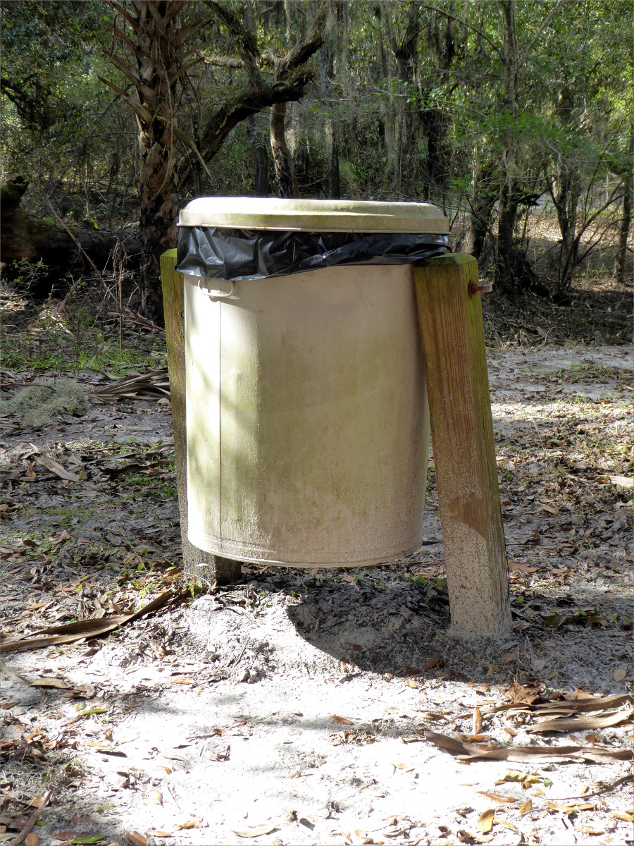
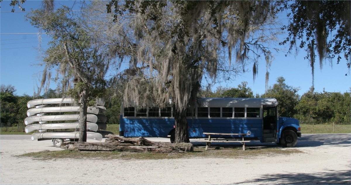
Being new to California, bear lockers were new to us

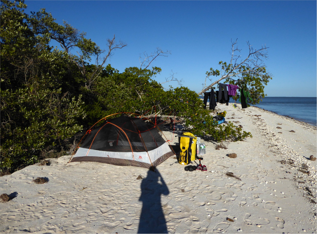
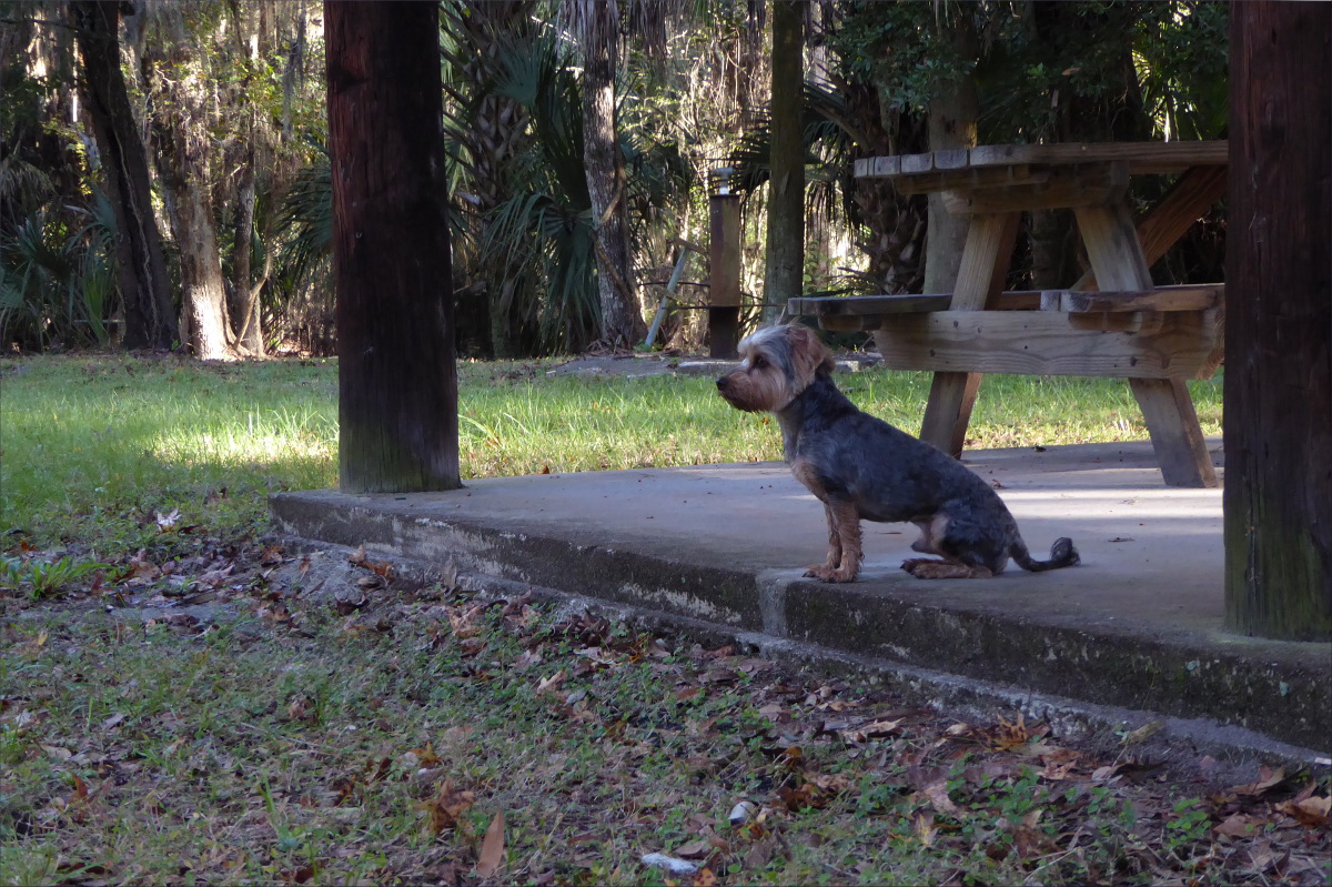
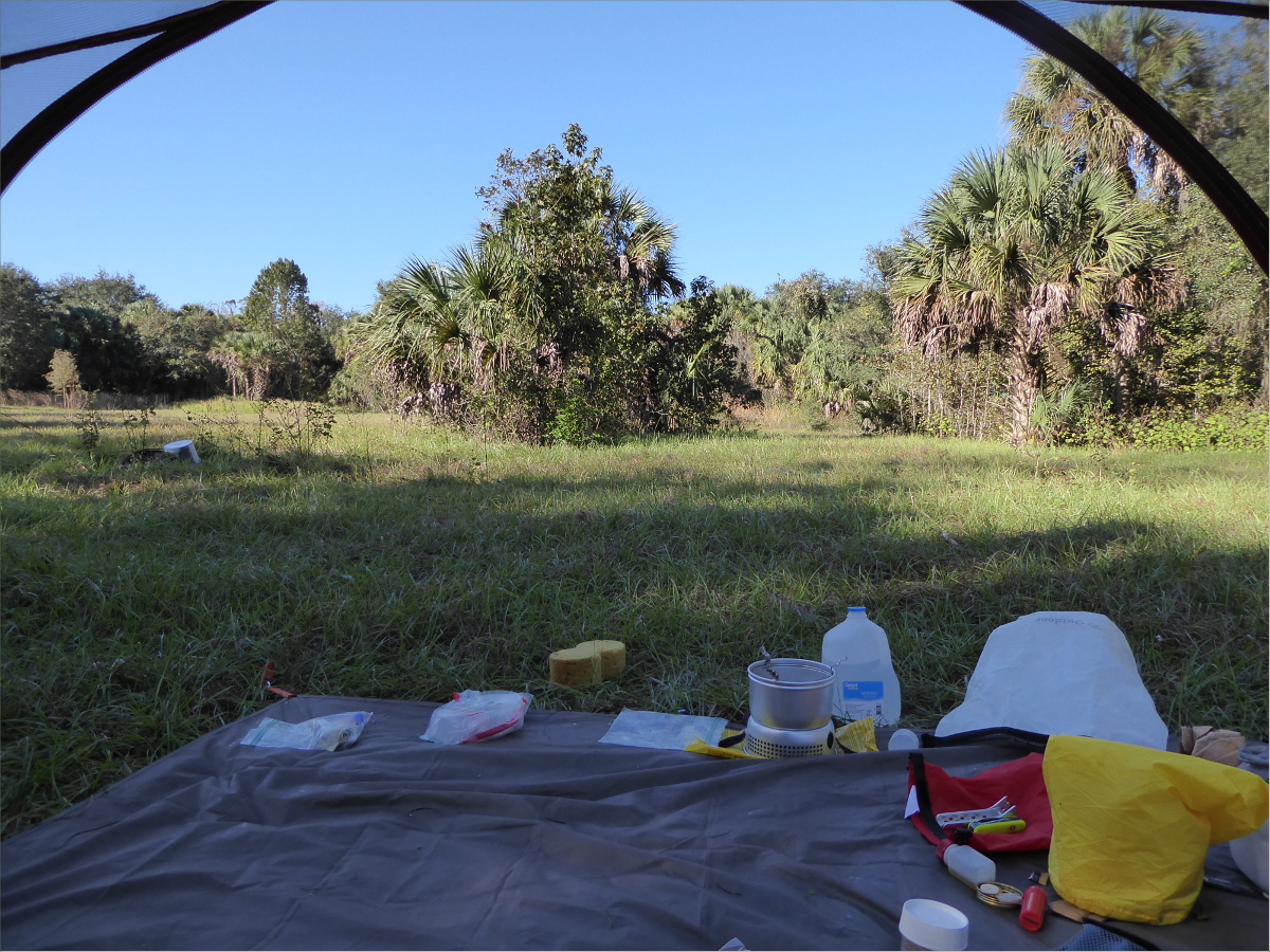
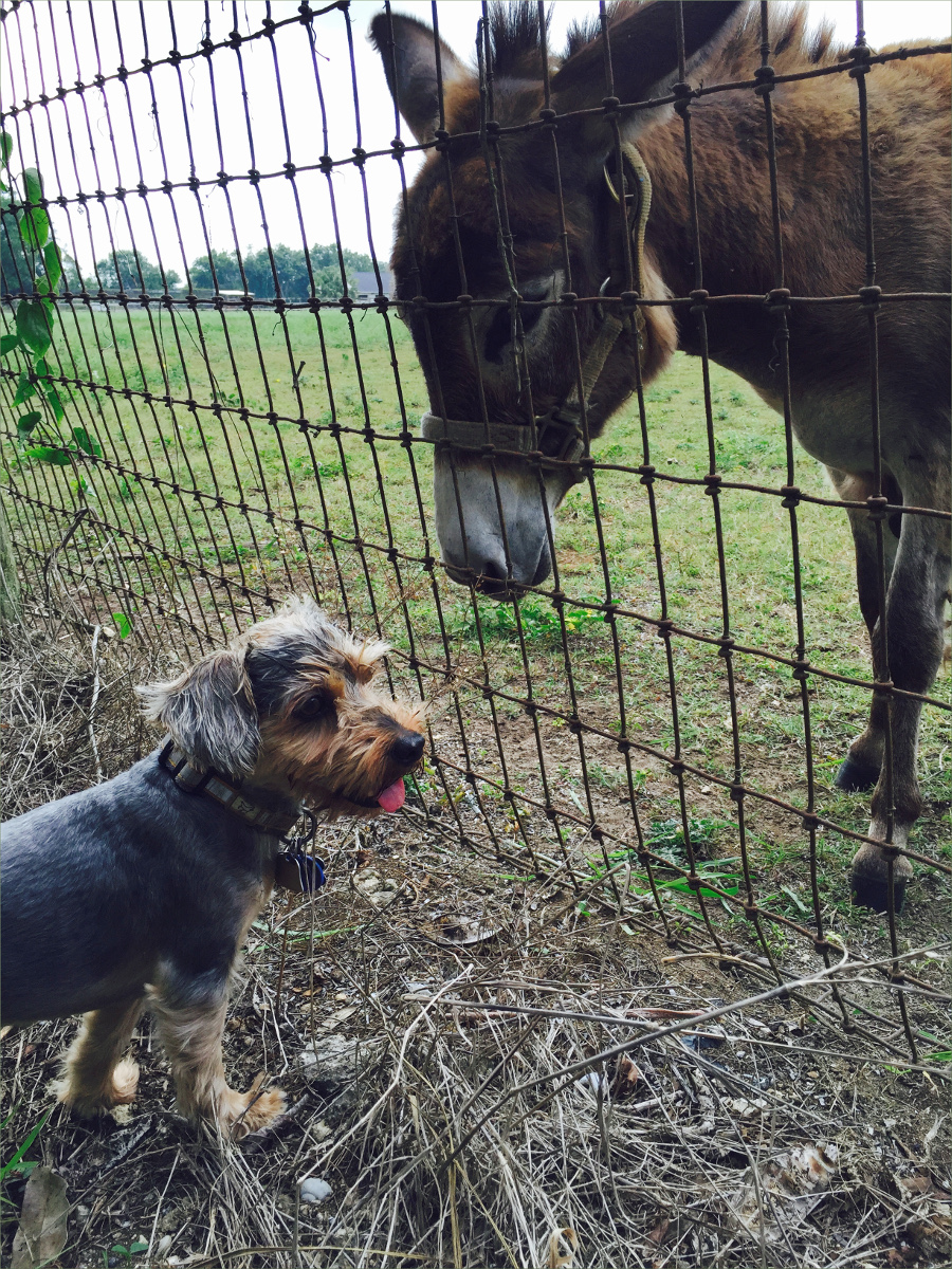
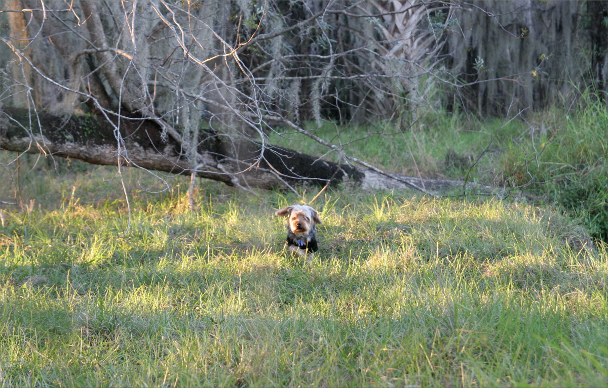
Oliver at the camp site
Shortly after setting up, the sky turned pink. Checking the weather, we learned that a giant storm was gathering, with the possibility of hail and tornadoes, 8 miles (13 km) to the west of us in Redding.


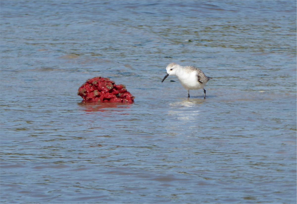
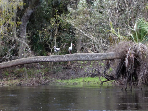
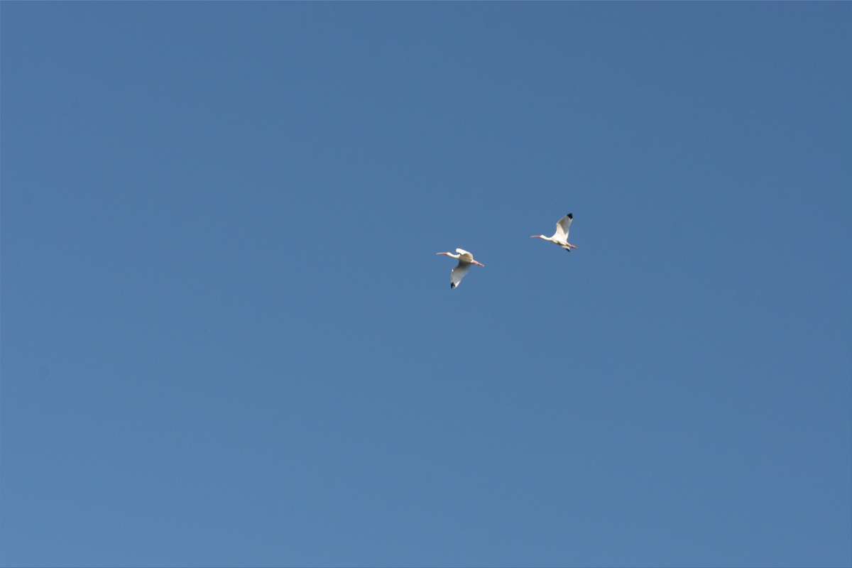
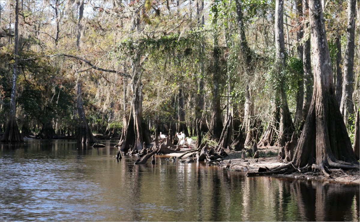
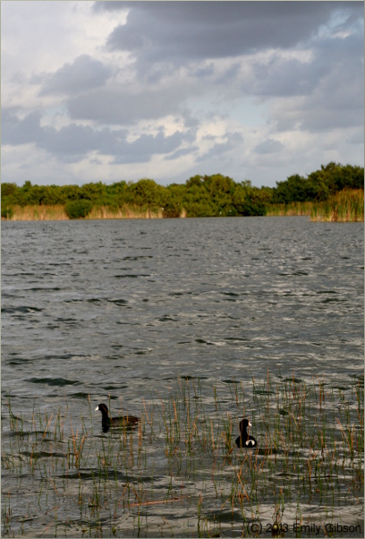
Mallards with a purpose

The hail pinged off the tent in a rather exciting way, but the storm was short-lived, and by morning the rain had dried up.

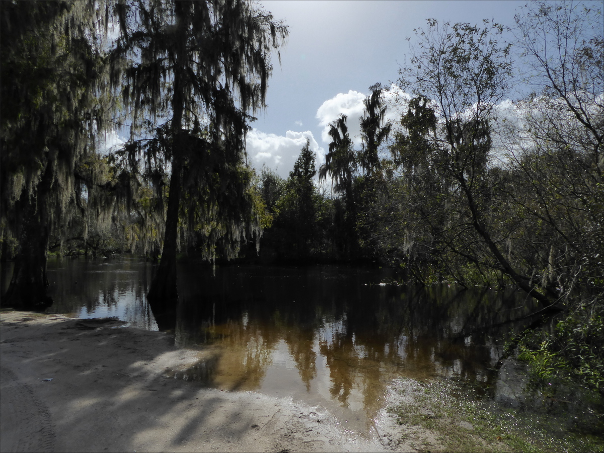
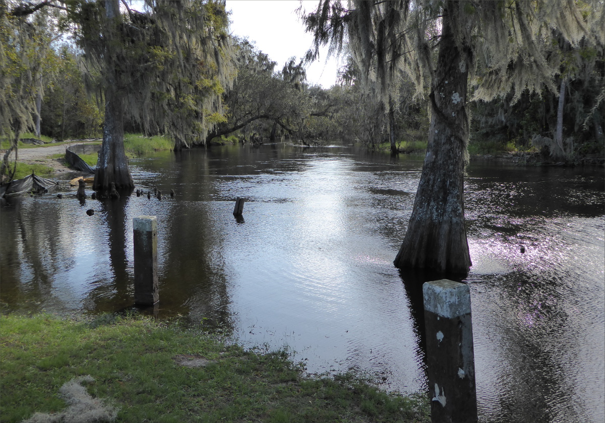
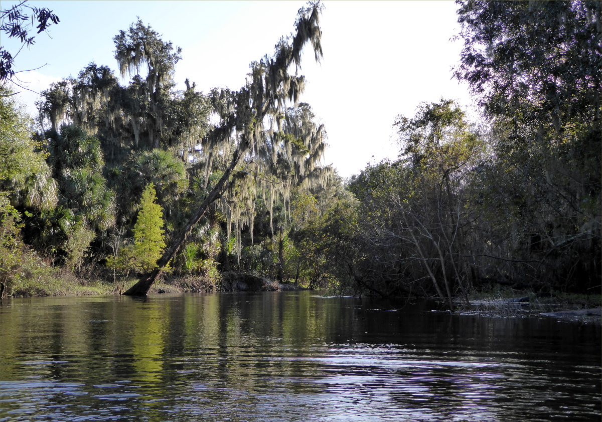
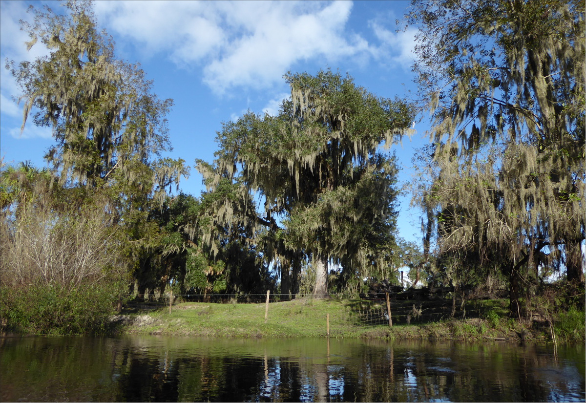
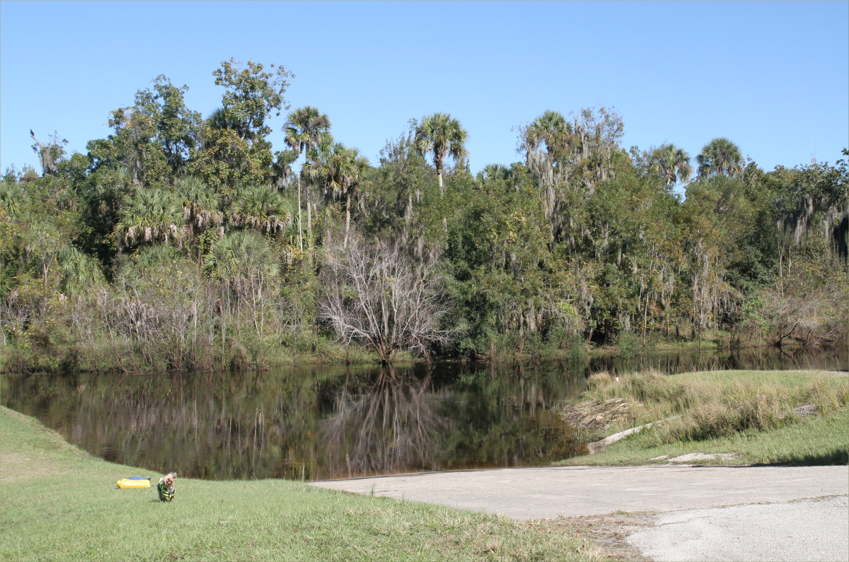
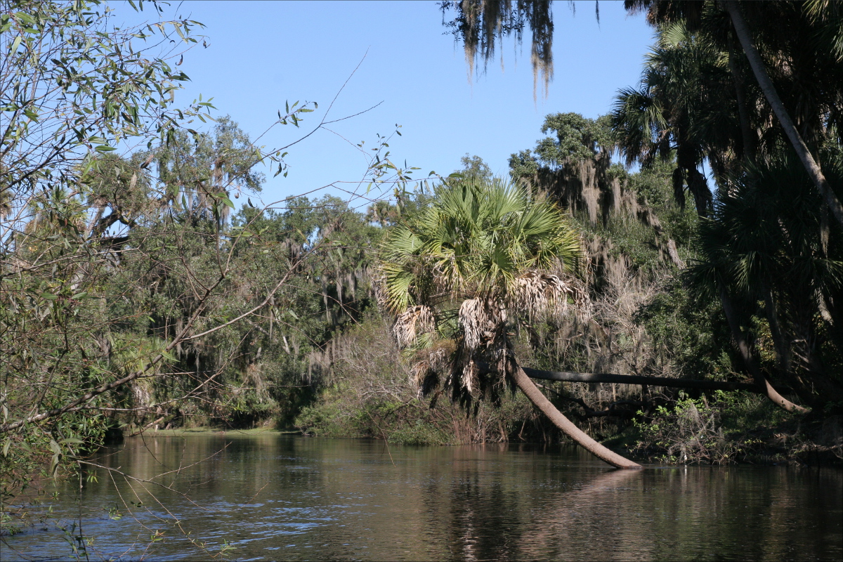
Whiskeytown Lake is actually a reservoir, created in 1963 to divert water from the Trinity River basin to the Sacramento River, named for the village of Whiskeytown, which, ironically, was inundated as a result of the reservoir.

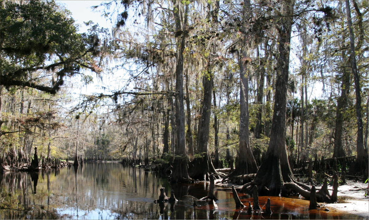
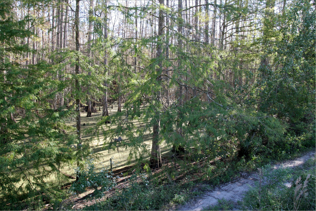
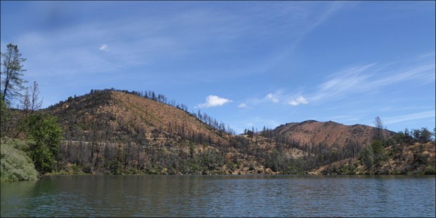
A tour of the lake was a tour of Carr Fire burn scars — of charred land returning to life.

CA-299 highway is visible on the left in this photo
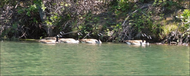
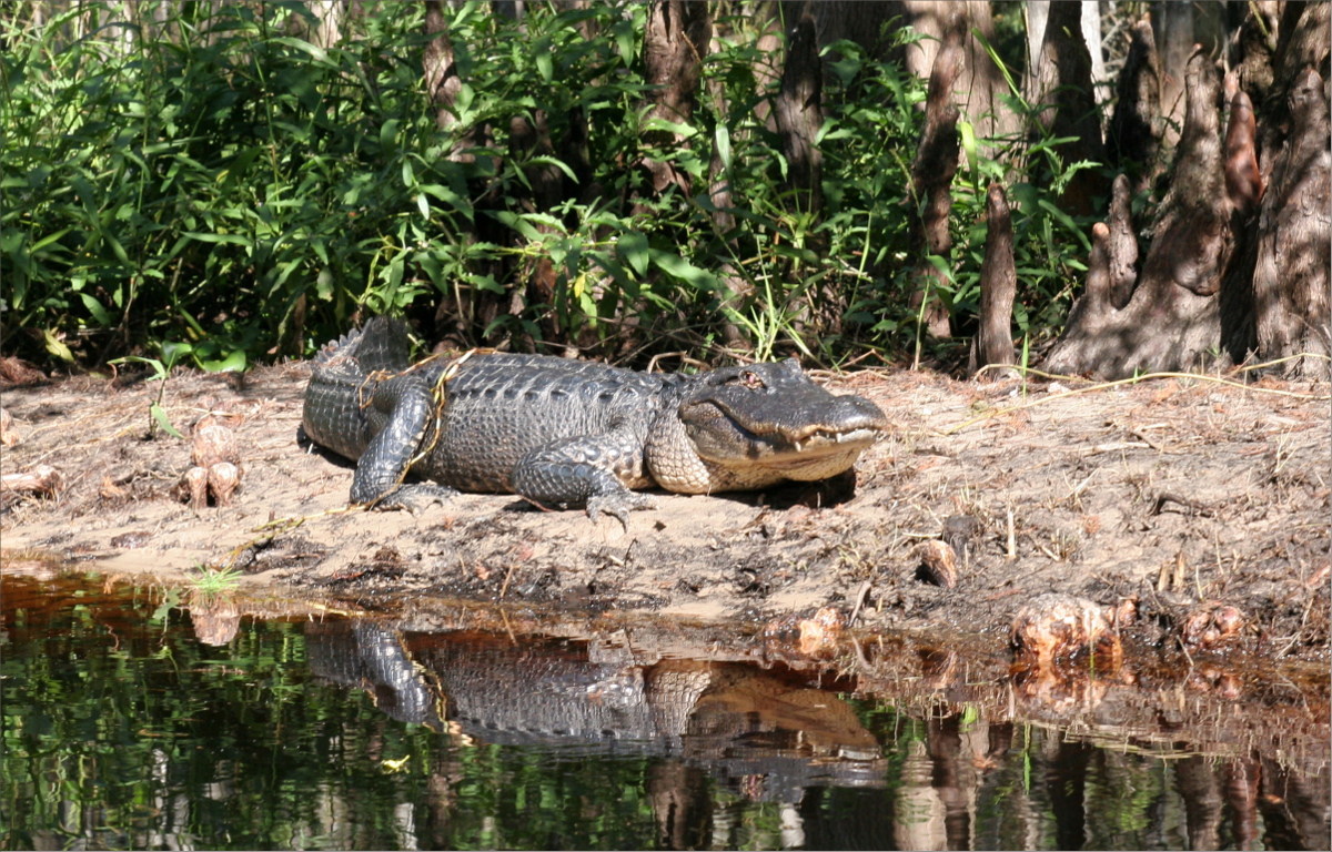
I was impressed by how well these Canada Geese blended in with the shadow of the overhanging bank. From a distance the camouflaging effect caused them to almost disappear.
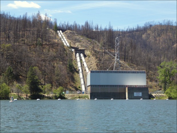
Judge Francis Carr Power House
I regret that we didn’t stop to take photos along the I-5. The highway to Mt Shasta is a great, green corridor following an old railway line through sweeping canyons thick with pine trees. And the 170 million year old, 6000-feet tall granite spires known as Castle Crags are a sight to behold, even when viewed from the highway. Castle Crags State Park is definitely on our list of places to explore.

Railway towns dot the route. Dunsmuir is one such. It was originally called Pusher after the pusher locomotives that pushed freight trains over the steep mountains to the north of Dunsmuir. The town was later renamed Dunsmuir after a Canadian coal baron, in exchange for money to build a municipal fountain (San Francisco Chronicle).

We soaked in the scenery over a beer at Dunsmuir Brewery Works, a popular spot with lots of outdoor seating and a good selection of craft brews.

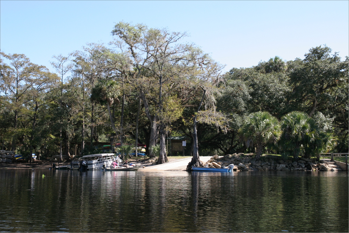
In Mount Shasta we stayed at Reynolds Resort on Lake Siskiyou. There were so few campers that it felt like we had the park to ourselves.

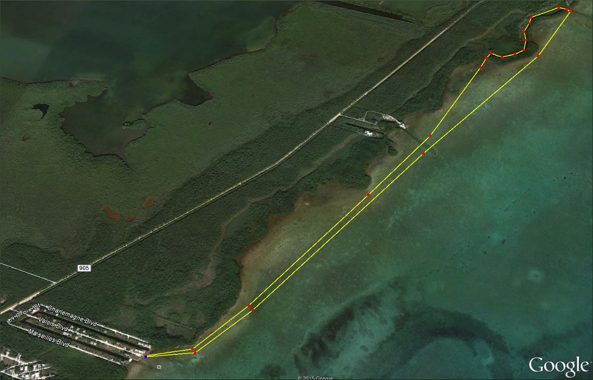
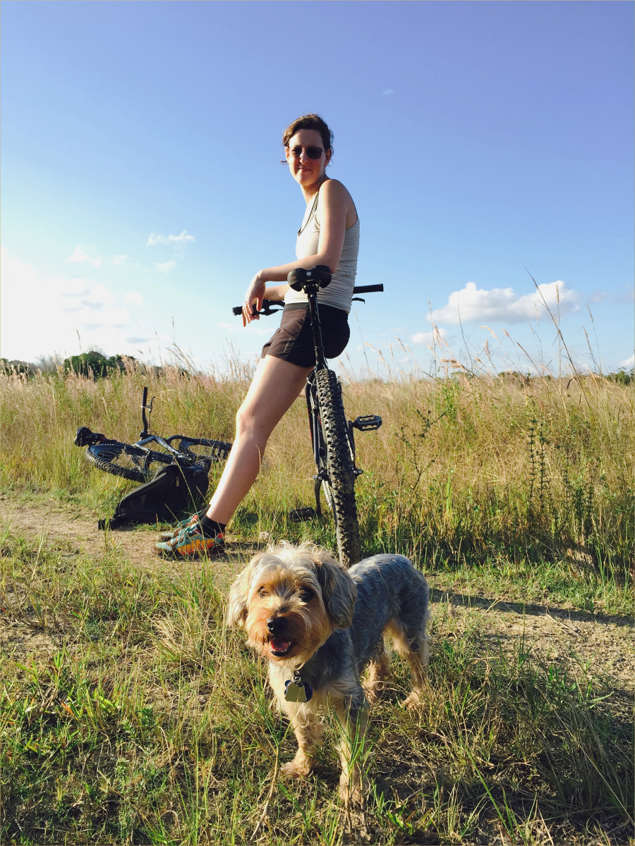
We spent all our time cycling on and around the Lake Siskiyou Trail. Wagon Creek Arm Bridge was out, making it impossible to make the full circuit, despite valiant attempts to portage our bikes through the freezing cold water.

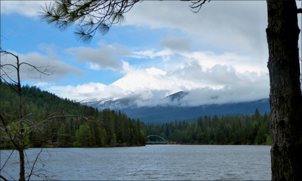
In the distance Mount Shastina towers over Lake Siskiyou Bridge. Mount Shastina is the the highest of Mount Shasta’s four cones.
Some requisite facts about Mount Shasta: The United States Geological Survey rates it as a very high-threat volcano; its last eruption was in 1786; it erupts every 600 years; it is about 593,000 years old; it is made up of four overlapping volcanic cones named Shastina, Misery, Hotlum and Sargents Ridge.

Despite being Memorial Day weekend, there was hardly any traffic on the trail.

It was the perfect ride for taking in the scenery — paved paths and double-track dirt trails with almost no ascent.

The only part of the trail that presented any challenge was the Chalet Trail alternate route (seen above), which was way too narrow for my liking at about a foot (30 cm) wide in some places.
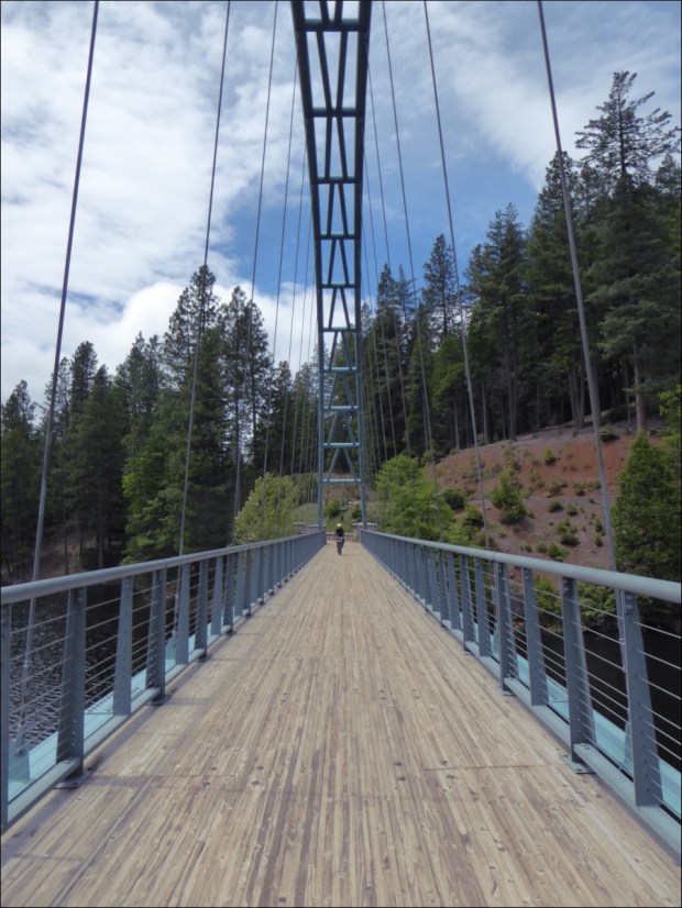
Lake Siskiyou Bridge

Our terminus on the other side of the absent Wagon Creek Arm Bridge.

On our way home we stopped at Shasta Dam, the eighth-tallest dam in the United States, built between 1935 and 1945. The gift shop had an excellent selection of reference books!
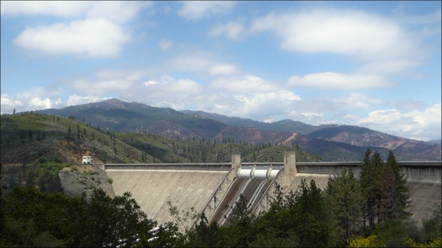
Shasta Dam
RESOURCES CONSULTED
The 4 Eruption Cones of Mount Shasta, Hike Mt Shasta by Bubba Souss (12 January 2018) – includes diagrams
Border to Border: Essential road trip stops along I-5, Roadtrippers (13 May 2016)
Castle Crags State Park, California Department of Parks and Recreation
Dunsmuir Brewery Works
Feature Detail Report for: Whiskeytown Lake, USGS
Hike Mt Shasta, Bubba Suess
Judge Francis Carr Powerplant, Bureau of Reclamation Projects and Facilities
Lake Siskiyou Camp Resort
Lake Siskiyou Trail Loop – includes directions and map
Little Town of Dunsmuir is Big on Trains, San Francisco Chronicle (13 July 2016)
Oak Bottom Campground, Recreation.gov
Reynolds Resorts
Soaking up Shasta setting/Railroad towns, vintage hotels and hot springs in northern woods, SFGate (3 September 2016)
Things to do in Redding (Tripadvisor)
Visit Redding
Whiskeytown National Recreation Area, National Park Service
Work on the Chalet Trail, Mount Shasta Trail Association