Sun-rising and setting

Cape Sable – Night Two/Day Three, Feb 2016

25°07’06.31″N 81°04’48.28″W elev 1 ft
East Cape, Everglades National Park
Launch site: Flamingo Visitor Center,
40001 State Hwy 9336, Homestead, FL 33034
(239) 695-2945

Wilderness Trip Planner: A guide to camping in the coastal portions of the Marjory Stoneman Douglas Wilderness

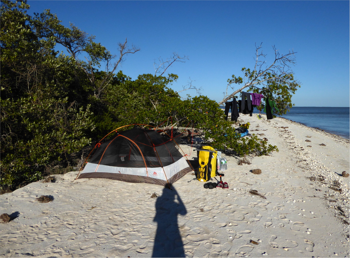
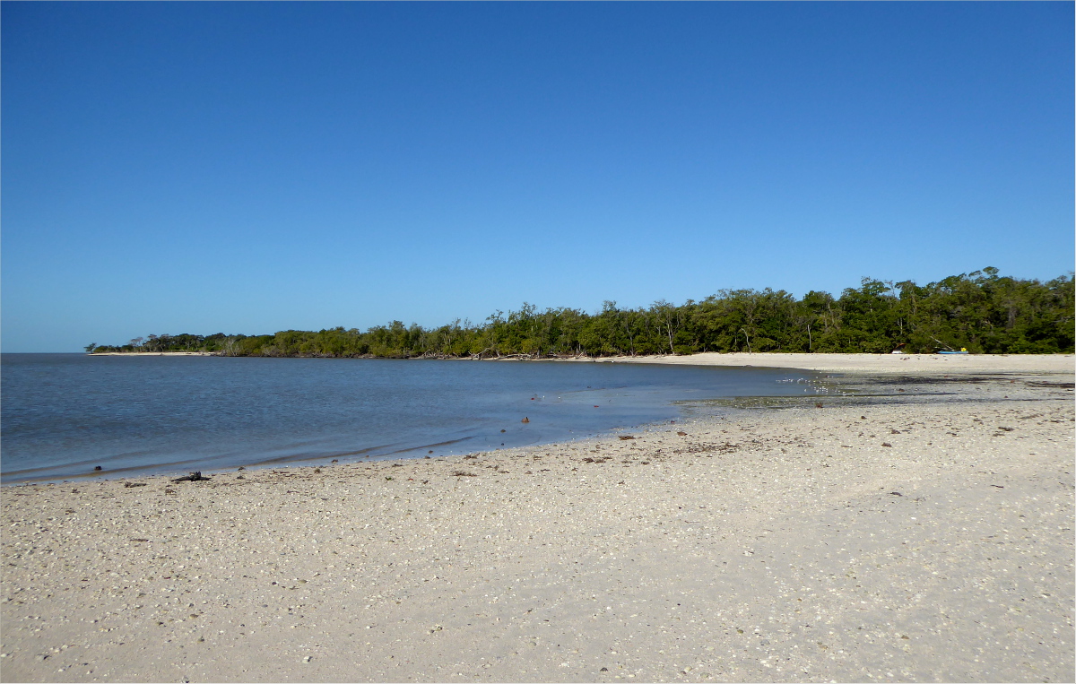
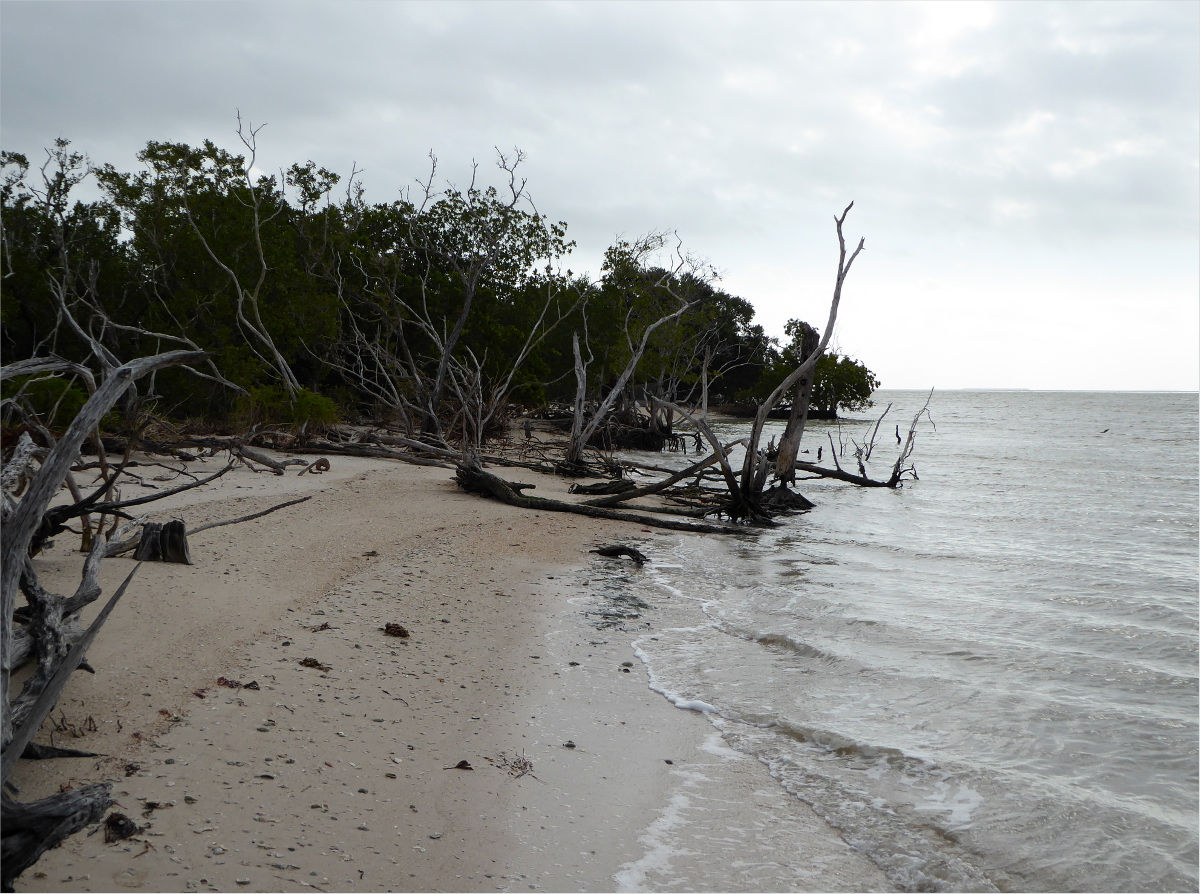
We didn’t quite make it to East Clubhouse Beach. Come 4:30 pm we were pretty tired, so we stopped about a mile shy of East Clubhouse Beach at Clubhouse Beach. Although we were paddling with the tide, the gusts were killing me. I was happy to claim this secluded little stretch of beach as our own for the night.

P1000901_edited_1200

P1000902_1200

P1000940_1200

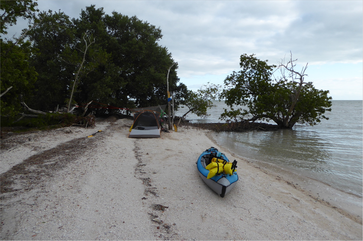
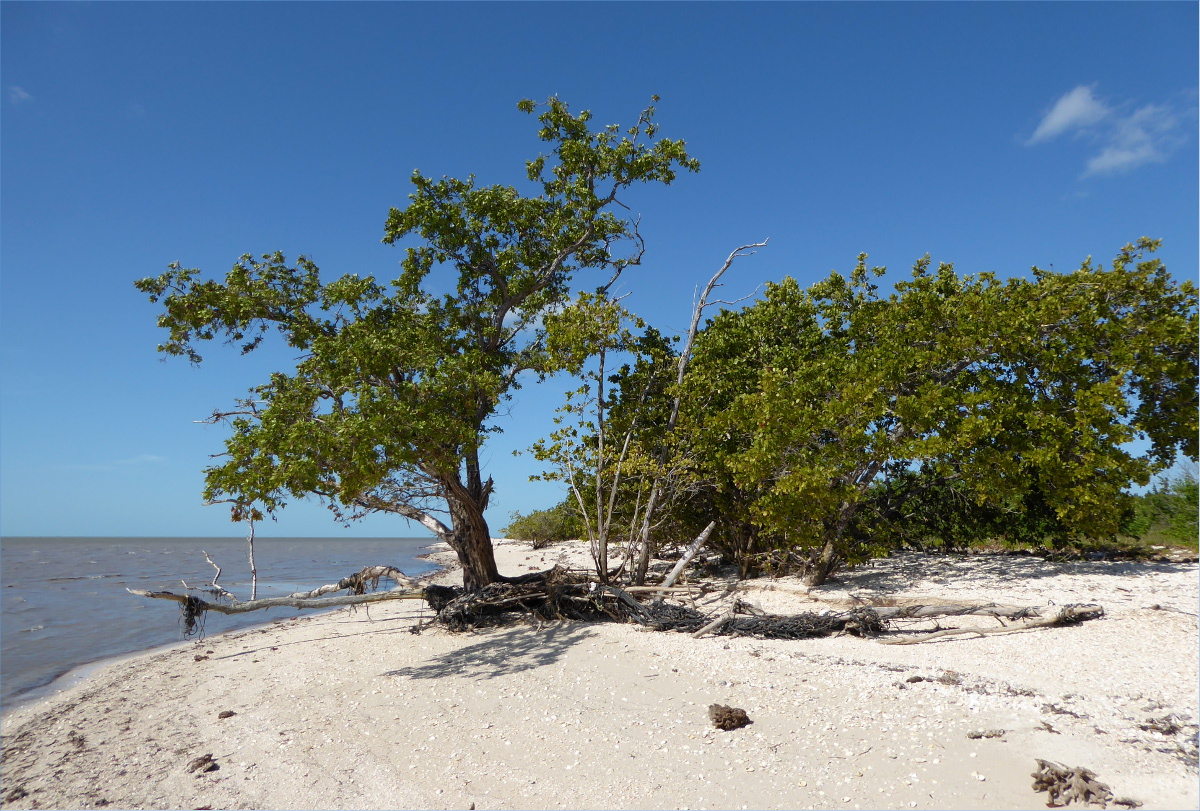
As Gauthier made dinner, I watched the tide come in… with some trepidation. “I wonder if we should move our tent a little higher up the beach”; the thought kept running through my mind.
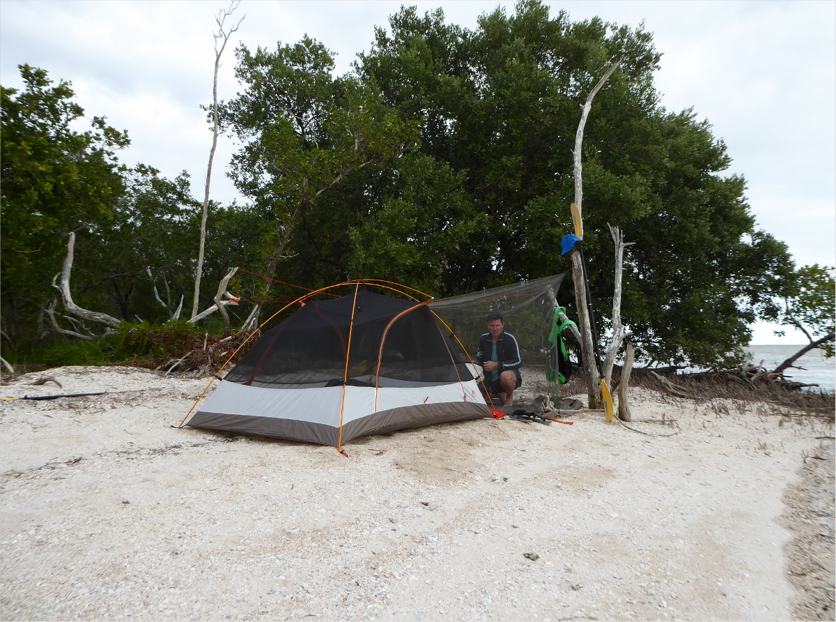
P1000912_1200

So we moved it.

P1000935_1200

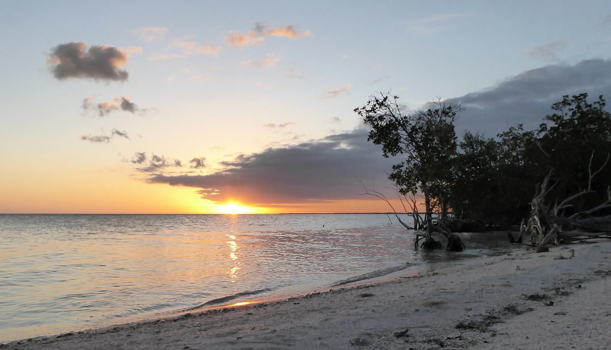
And I relaxed as the sun relaxed its grip on the day.
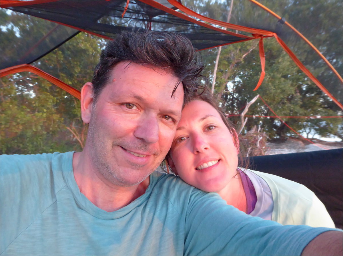
P1000922_edited_1200

Two happy campers.

P1000923_1200

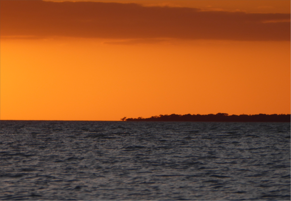
That tiny silhouette of a tree in the middle of the below photo, that’s the tree on the tip of Cape Sable that we used to gauge how far we’d traveled. Four hours and some sore shoulders is about how far away it is in this picture.

P1000921_1200

Unfortunately, we didn’t capture any photos of the final leg of the journey. We didn’t calculate the tide well, so we ended up fighting it as well as 25 mph winds on the way back. Kayaking along the coast of Florida Bay at low tide is stressful not only because the current is against you, but also because the shallowness of the bay makes it necessary to paddle far away from the coast and keep a wide berth of islands in order to avoid getting banked, and this can add miles to your journey.

I really regret not taking one photo in particular. A perfect, single layer of altocumulus clouds filled the sky for almost the entire journey home. It was spectacular. Almost as spectacular as Gauthier’s strength, patience and compassion when my arms gave out about a mile from our destination. With soothing words and a powerful stroke, he weathered a temper tantrum fed by fatigue and frustration and delivered us safe and sound to the Flamingo Visitor Center marina… about a mile east of where we had launched. Dang that low tide.

Cape Sable – Night One/Day Two, Feb 2016

25°07’06.31″N 81°04’48.28″W elev 1 ft
East Cape, Everglades National Park
Launch site: Flamingo Visitor Center,
40001 State Hwy 9336, Homestead, FL 33034
(239) 695-2945

Wilderness Trip Planner: A guide to camping in the coastal portions of the Marjory Stoneman Douglas Wilderness

And on the 900th stroke, we arrived at East Cape. We were greeted by a family of campers in a motor boat that gave us first pick of a camp site out of deference to our muscle-powered wake, and a flock of Sanderlings.

P1000826_1200

P1000835_1200

By 4:45, we had set up our tent. As the day faded into night, we passed the time cooking, arranging seashells in the sand, chatting, sipping bourbon, and star-gazing. As the night wore on, the stars grew brighter and brighter, the rising and receding tide lapped against the shore twenty feet away, and giant wading birds stopped to sample insects outside our tent.

P1000841_1200

Gauthier woke up early to watch the sun rise.

P1000851_1200

Our friends the Sanderlings were up early as well, as were a flock of Terns. During low tide, the shallow bay reveals muddy tongues protruding from the shoreline that are completely hidden during high tide, like the one these Terns are on.

P1000868_1200

P1000870_edited_1200

One characteristic that all of the beaches we stopped at had was washed up sea sponges. There are over two hundred sponge species in South Florida. The sponges in the photo below are vase sponges.

P1000863_1200

Sea sponges are a foundation species and a sign of a healthy ecosystem. In the photo below, a Sanderling inspects a Haliclona rubens.

P1000879_edited_1200

Marjory Stoneman Douglas had a hard time making a case for the designation of the Everglades as a National Park. Folk saw holes in trees like the one below, assumed they were created by insects with really big teeth, and wanted nothing to do with it. Honestly, we wondered whether that hole, with its serrated edges, wasn’t created by giant, razor-sharp mandibles.

P1000862_1200

Holes in shells like those in the shells in the photo below provide clues as to how the shells died. Those tiny perforations were caused by sponges called Boring sponges. Boring sponges attach to shells for shelter, often smothering the host. The little holes are caused by the chemicals they use to attach themselves. Polychaete worms are the villains that cut grooves in oyster shells. And the little holes that are useful for turning shells into necklaces, those are caused by predatory sea snails and slugs.

P1000882_1200

Gauthier paddled to the southernmost beach on East Cape. The wind had picked up and was blowing from the east at a worrisome clip, so I chose not to accompany him and preserve my energy.

P1000877_1200

There he saw Gumbo limbos…

P1000895_1200

this sprawling Prickly pear cactus…

P1000894_1200

and this giant Horseshoe crab. This lovely lady was around two feet long from head to tail! She should scare me because horseshoe crabs are more closely related to spiders than they are to crabs, but seen from above she’s not very scary-looking. You have to respect a species that’s been around for more than 300 million years!

P1000899_1200

As we headed eastward towards East Clubhouse Beach where we were to spend night two, we paddled against the tide and a wind of around 18-20 mph (8-10 m/s). We used the tree below, which marks the southernmost tip of Florida, to gauge how far we’d traveled. It grew smaller very slowly.

P1000896_1200

Resources Consulted
Horseshoe Crab History
Marjory Stoneman Douglas: Writer & Conservationist
Restoring Florida Bay: Sponges the foundation for thriving ecosystem
Shell Wars (Shell Bioerosion)
South Florida Sponges: A Guide to Identification