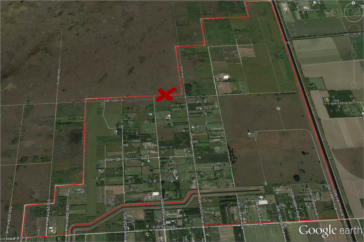
27°17’59.64″N 81°50’29.66″W elev 27 ft
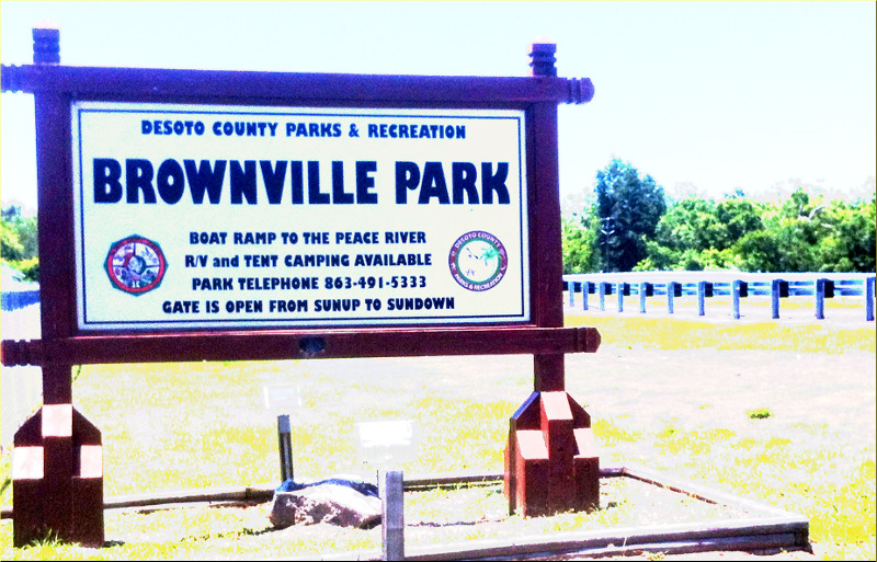
Brownville Park, 1885 NE Brownville St, Arcadia, Florida, 34266

May 4-5, Gauthier, Ollie and I took a trip into Florida’s heartland. We stopped briefly in Arcadia, the county seat of DeSoto County, which is one of six counties that compose the Florida Heartland. Arcadia’s historic downtown antique district is listed on the National Register of Historic Places. We checked out the Arcadia Opera House, built in 1906, now a museum and enormous antique shop complete with antique stage props. Then we ate at Wheeler’s Cafe, founded in 1926. The food was excellent and the wait staff were super friendly. I could easily spend days in Arcadia just window shopping.

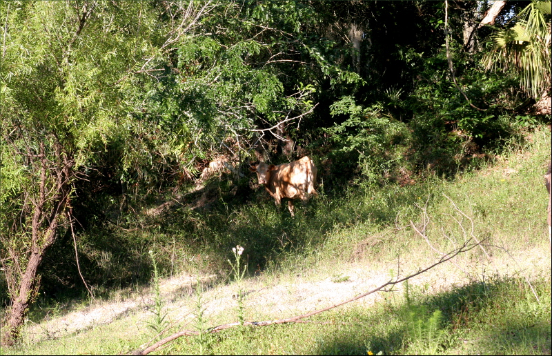
Including our stop in Arcadia, it took us four and a half hours to get to Brownville Park from Miami. We took a scenic route that wound up and down hills and around orange groves and cattle ranches. The park, small and well maintained, is on the banks of the Peace River.
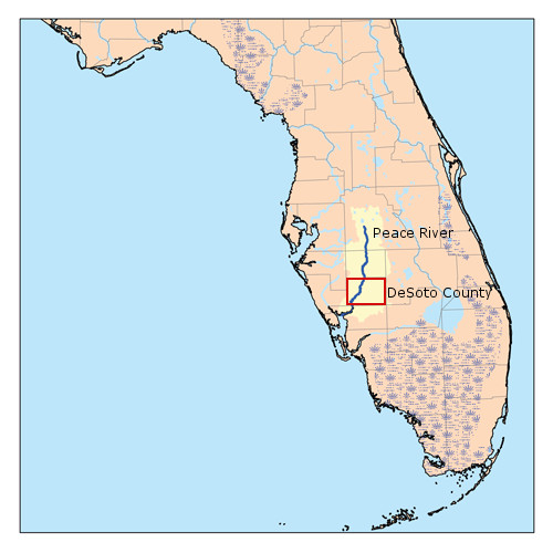
This is a map of the Peace River watershed created by Karl Musser based on USGS data, http://en.wikipedia.org/wiki/File:Peaceflrivermap.png. According to Wikipedia, it was called Rio de la Paz (River of Peace) on 16th century Spanish charts. It appeared as Peas Creek or Pease Creek on later maps. The Creek (and later, Seminole) Indians call it Talakchopcohatchee, River of Long Peas.
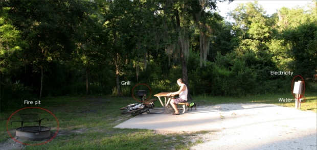
Not all campsites had electricity, but all had water hookups, fire pits, and grills. Because there was only one other site being used, the park custodian allowed us to stay at a site with electricity for the price of a site without electricity, which was $16.50 per night. We chose the site because it had good amounts of shade and sunlight and access to an adorable, little labyrinth of trails. Miraculously, there were very few mosquitoes and no deer flies.
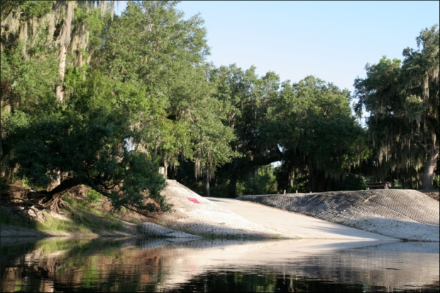
Brownville Public Boat Ramp is located inside Brownville Park. Talk about a great kayak launch!
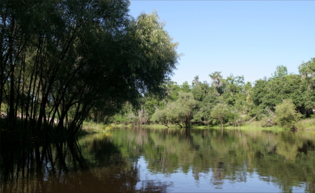
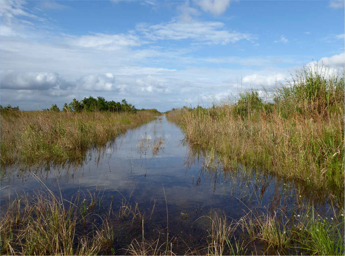
This is Peace River. Palmettos, cypress, water locust, sweet gum, cabbage palm and live oak are the predominant tree species along the river.
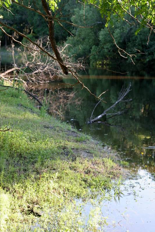
When we checked the level of the river the day before we left, it was 16 inches below normal. We arrived shortly after a 48 hour rainstorm. The water had risen 34 inches, which put the kibosh on any plans we had to hunt for fossils. In this picture, you can see how swollen the river is; grass that was above the water line two days previously is inundated.

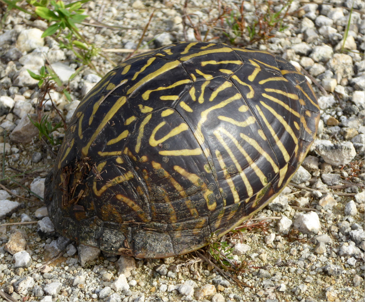
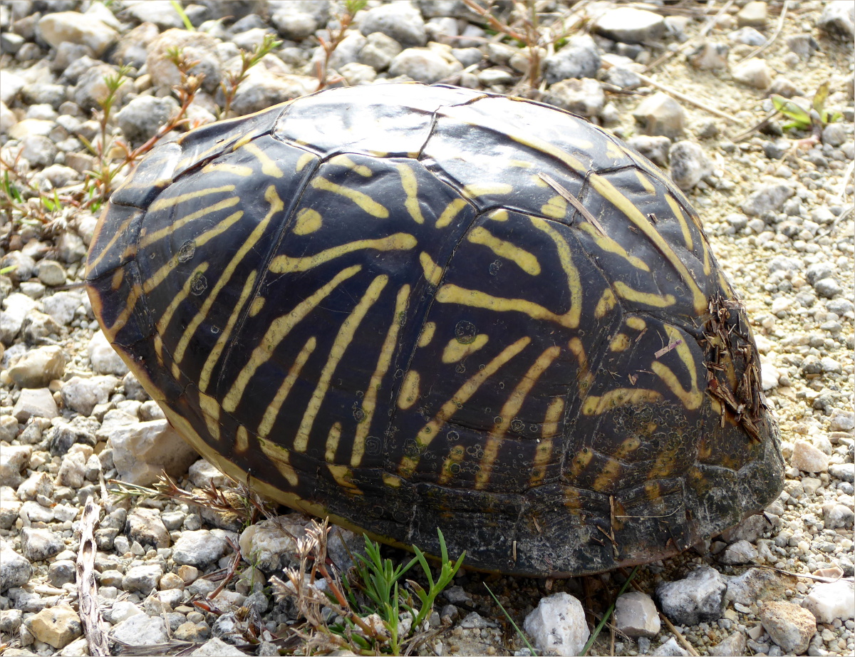
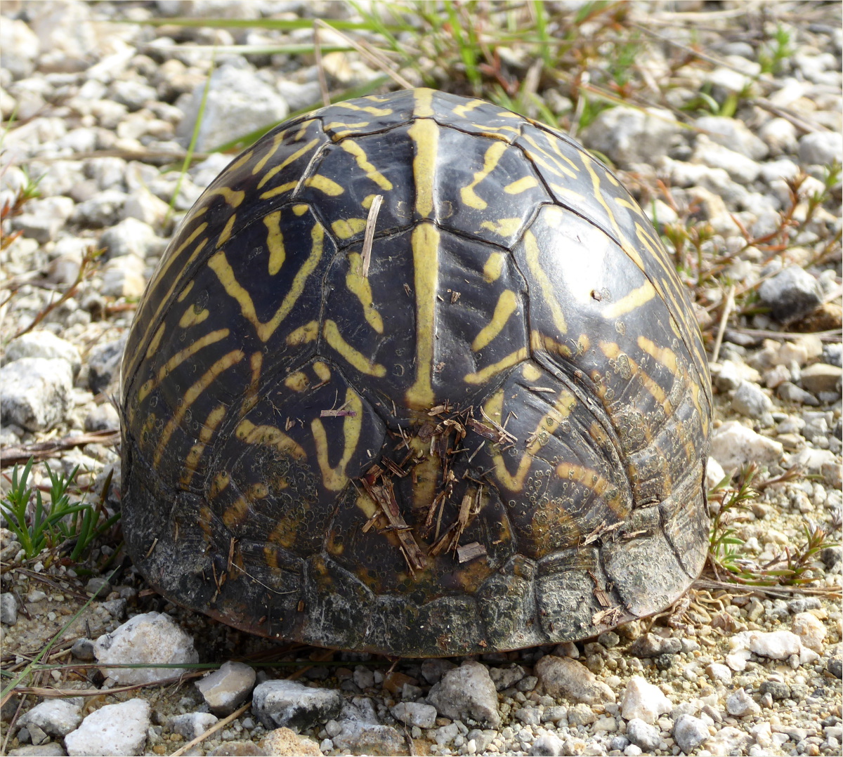
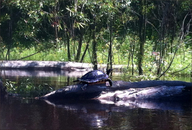
We saw six turtles, including a baby one. I edited this picture to make the turtle clearer; it’s a little fuzzy because it was taken on an iPhone instead of my Canon EOS 20D. We didn’t kayak very far because the fast moving current made paddling very difficult. The distance we padelled in an hour against the current took us about 15 minutes to paddle with the current!
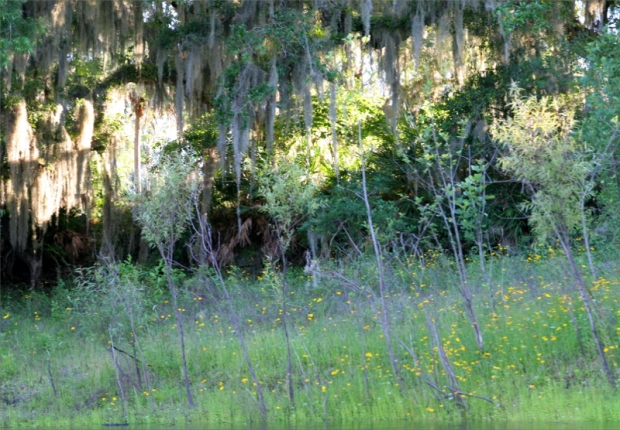
These yellow, daisylike coreopsis are Florida’s state wildflower.

Barbed wire fences lined the mile of river we kayaked. This gal found a hole in the fence.
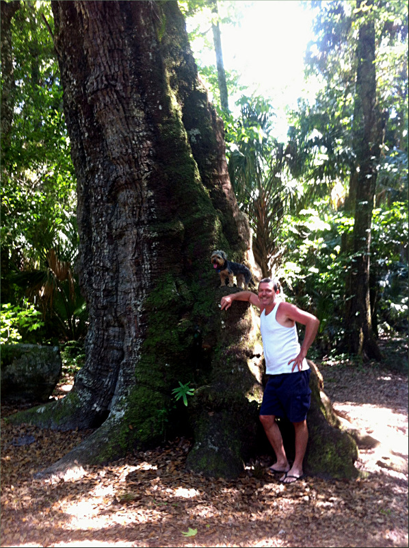
We took a detour to Highlands Hammock State Park before returning home. We biked the park’s lovely 3 mile trail. The live oak were huge. Here, Gauthier and Ollie are standing against a live oak.
Resources
http://www.protectingourwater.org/watersheds/map/sarasota_bay_peace_myakka/peace/
http://www.myregion.org/clientuploads/pdfs/ncfl_lakewales.pdf
http://www.swfwmd.state.fl.us/education/interactive/peaceriver/
http://www.floridastateparks.org/HighlandsHammock/