Horses

Bonjour Villentrois, Aug 2017

For many generations, my spouse’s family has had a home in Villentrois (population 645) near Valençay, at the northern tip of the Indre departement. In the past, the town was famous for its mushrooms, which blanket the landscape in November. Mushrooms are also grown in deep caves cut out of the Tuffeau limestone hills. My spouse’s family home has such a cave. They keep you lovely and cool in the summer. Tuffeau limestone is also used to patch neighboring Loire Valley castles, the most famous of which is probably Chambord.

We cycled trails, wrought by tractors, that skirted the boundaries of farms and intersected major roadways, and dirt roads cut by lumber companies, patched with ceramic shards, that disappeared in the shadow of Forêt de Brouard. We avoided major roadways as the roads are small and drivers speed and are unused to cyclists. Small restaurants – none more authentic in France – quenched our hunger. Only one word of caution: check the weather forecast before you leave, as there aren’t very many places to take shelter during rainstorms.

Veuil has a cluster of restaurants that are worth risking a drenching for. We arrived late to Le P’Tit Veuil with a ferocious storm close on our heals, but they did not hesitate to welcome us in, and fed us with such alacrity that I have had to reconsider my definition of hospitality!

The dark area is the Forêt de Brouard. We got caught in a rainstorm while in the forest. The best shelter we could find was a young tree that slowed the passage of the rain, but in no way prevented it from reaching us. The storm lasted about thirty minutes! It was a fantastic ride, though.

Sunflowers, or “tournesols” in French.

A house built with blocks of Tuffeau limestone.

This trail in the Forêt de Brouard was on the delimitation between two departments. The concept of “departement” is similar to “county” in English, but the jurisdiction of departements is wider than that of counties (“comte” in French), which are usually part of departements.

The entrance to a nest of European hornets. Wikipedia says they’re docile unless engaged in contest with another wasp, or defending their nest. They were unbothered by us.

Classic Valencay cheese, made with goats’ milk, little flattened pyramids of heaven.

Route Departemental (D33), road from Lucay-le-Male to Villentrois. The glass insulators on the power lines were old in the 1960s. When my spouse was a child, these funny, old insulators imprinted themselves in his memory so that they will forever be associated with Villentrois.

Resources Consulted:
A Gardener in France: Troglodyte flower show in central France
European Hornet (Wikipedia)
Cheese.com, Valencay

Bike Camping on an Undulating Plateau, Jul 2017

The route: Truro to St. Agnes, St. Agnes to Lelant Saltings, Lelant Saltings to St. Ives (by train), St. Ives to Lamorna via Penzance

Cycling Cornwall is not for the faint of heart. Arriving by train in Truro, the county capital, and stepping off the platform, we quickly learned what a twenty degree incline looks like. “An undulating plateau at three hundred feet” is how one local told us his secondary school teachers had taught him to regard Cornwall’s geography. “You notice the contradiction in terms?” he said, “A plateau by definition can’t undulate.” Cornwall has many plateaus atop many undulations, he explained, which we can attest to.

Truro to St. Agnes

Truro to St. Agnes was the only muddy leg of the trip.

On the way to St. Agnes

On the way to St. Agnes

Having missed a turn, we found ourselves at the end of a dirt road and confronted by three boys assembled under a tree who forthrightly informed us that “You’re on private property.” Thankfully their dad popped his head out of a door with an injunction to the boys to “Show them how to get back onto the trail.” A hidden bridge brought us here.

St. Agnes stone city marker.

St Agnes was our first stop. We camped overnight at Trevellas Manor Farm Campsite, owned and operated by the Trevellas family since the 1840s. Every year the family undertakes a new improvement project, and this year it was renovating the toilet and shower facilities. They were fantastic. To get to the campsite, we followed a trail overgrown with foxgloves. Looking up the trail, the sky was a blue disc.

The overgrown trail to the Travellas Manor Farm Campsite

Foxgloves!

Shortly after setting up our tent, which the landlord thoughtfully located next to a westerly hedge to protect us from the wind, we were inundated with fog as thick as pea soup, as the saying goes. A dusk walk into town was somewhat treacherous. We took a narrow road, which we mistook for a minor road. As cars raced past us we were invisible in the falling light and the fog, which caused Gauthier to instruct me to “Be prepared to jump into the bushes,” by which he meant “Be prepared to leap into the thorny brambles that thickly cover the steeply inclined shoulder of the road.” Dinner at The Taphouse consisted of fresh crab, rocket salad with bell-shaped tomatoes, steaming ciabatta bread, and berries and meringue for dessert. It was worth the perilous journey into town.

Walking from the Travellas campsite to the narrow, but not so minor, road into town.

On the way back we followed a trail through the Blue Hills Tin Works. The site is now more famous for motorsport races than its rich industrial history. We stopped at Trevellas-Porth Beach. Crumbling smelt stacks poked out of the earth amidst ferns and flowering bushes, and a little stream flowed quietly under cracked stone bridges to meet waves that crashed onto a pebble beach. A hundred or so feet out to sea were shadowy sea stacks like the hands of a giant, rocky time keeper.

A Blue Hills Tin stream

Blue Hills Tin Works

Blue Hill Tin Works

Blue Hill Tin Works

Next we headed for St. Ives. The roads undulated with the curvaceous landscape, past coastal towns with names like Porthtowan and Portreath. Many a hill we walked our bikes up, panting. But there was always a pub to quench our thirst when we reached the top. We cheated a bit nearing the end of the day and took the train from Lelant Saltings Train Station to St. Ives.

On one of those plateaus. Near Portreath, on our way to St. Ives.

On the way to St. Ives

On the way to St. Ives

St. Agnes to Leland Saltings

St. Ives was bustling, and Ollie in his basket was a major attraction. I don’t know whether it was talking to so many strangers or the ride, but I was absolutely exhausted by the time we got to Ayr Park, the campsite where we were to spend the night. And hungry! So imagine our dismay when we discovered at 8:30 pm that restaurants in St. Ives close at 9 pm. For half an hour we searched in vain for a restaurant that would take dogs. Then we bumped into The Sloop, an inn dating back to 1312 with the only kitchen in town that stays open until 10 pm. And they took dogs!

St. Ives

The next day we rode just south of Penzance via Mousehole (pronounced “moozle”) to Boleigh Farm, a working dairy farm with a fenced off field for campers. One of the farmers pronounced Gauthier’s name right on the first try, dispelling any doubts we had about the connection between the cultures of Cornwall and Brittany.

St. Ives to Lamorna via Penzance

On our way to Lamorna.

Moors!

A very old, crumbled down stone fence on the moors.

A seagull with a view!

Boleigh Farm where the campsite was separated from cow paddocks by a three-rail fence and a hedge.

Dinner at the Lamorna Wink, in breath-taking Larmorna Valley, was phenomenal. A modest river flows down the valley, surrounded by enormous ferns and other plants we had only ever imagined could exist in pacific temperate rain forests, and were certainly not a feature of any other place we had visited in England.

Lamorna Cove

On day four we caught a train from Penzance back to London, vowing to return to Penzance as often as possible. And next time, to shop at the fish market! Before we left Cornwall, we had “cream tea,” which consists of tea and hot scones spread with jam and clotted cream… served the Cornish way with the cream on top of the jam.

Mousehole

Apologies for the low res image, but this is where we had cream tea. Our waiter was unlike any waiter we’d ever had before. In appearance and accent he resembled a sailor. I was uncertain how to address him at first, but he was friendly, funny and knowledgeable, equally at ease talking about scones, pilchards and local history.

Cycling The Ridgeway Trail – Day 2, Apr 2017

902 ft maximum height
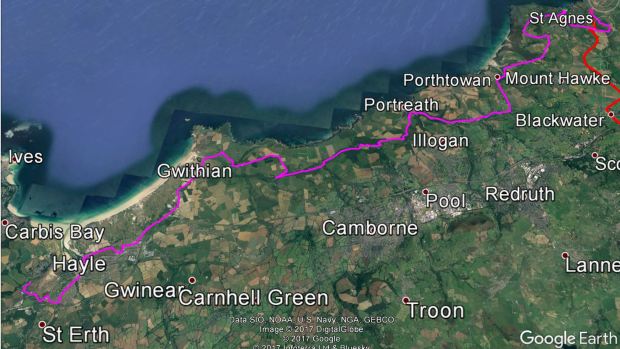
National Trails The Ridgeway Trip Planner

We were a lot more psychologically prepared on Saturday. Our bums ached a bit when we first set out, but the pain was quickly forgotten. We stopped again at Three Trees for scotch eggs and Belgian buns and then headed back up the side of the ridge. On the way we saw hang gliders!

hang gliders

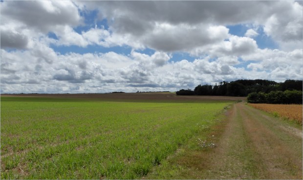
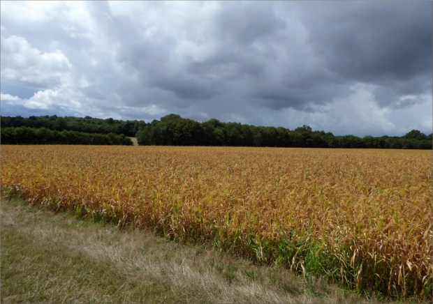
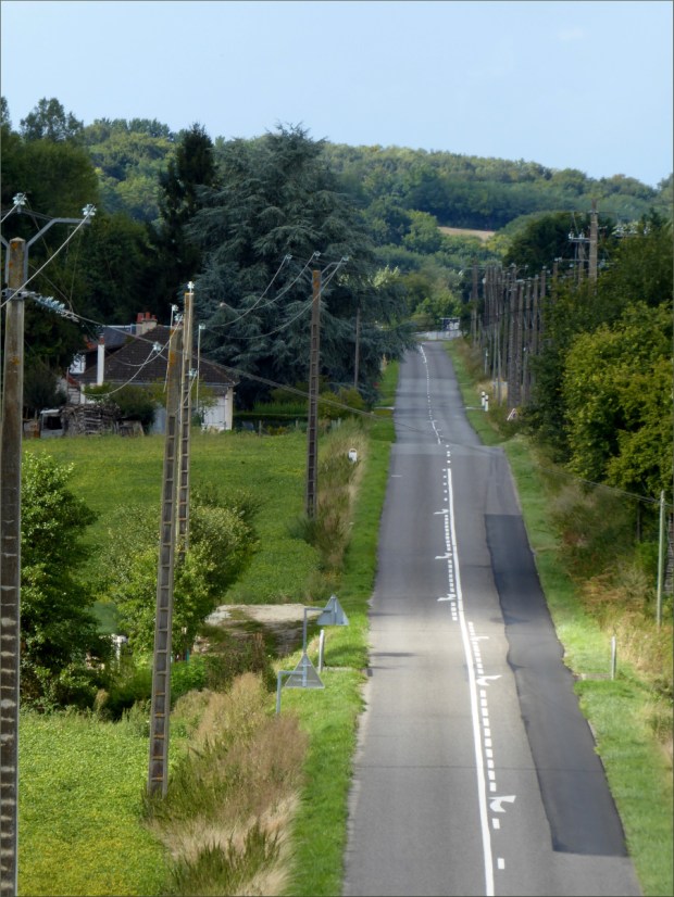
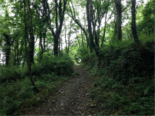
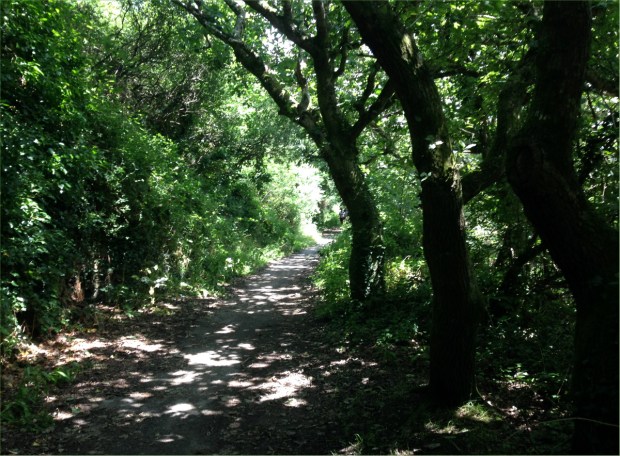
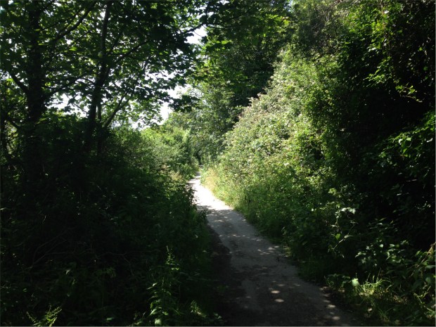
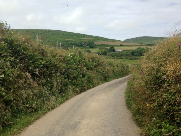
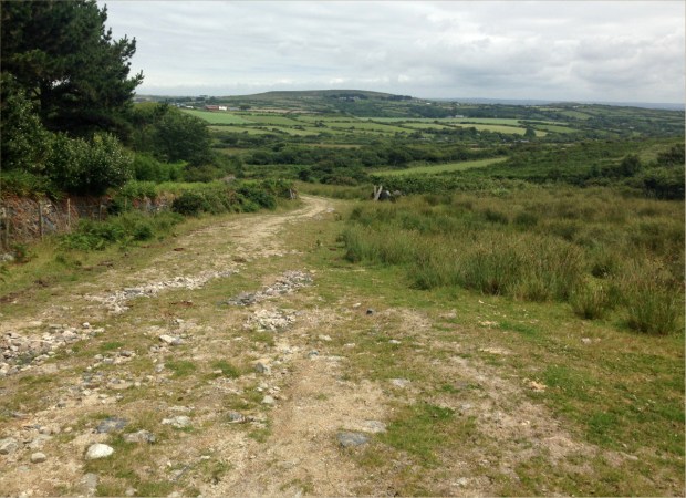
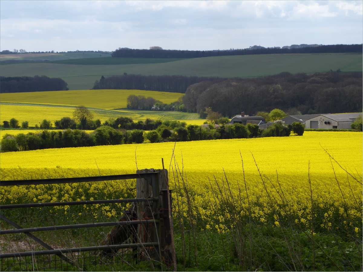
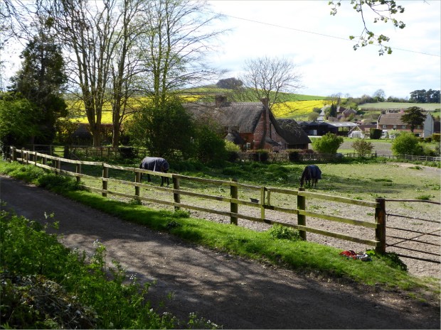
This section of the Ridgeway is hillier than the section between Swindon and Avebury, but the hills are far gentler. We were treated to endless vistas, cows and sheep.

Uffington Hill Fort was a must-see and, conveniently, on the way. It’s one of several Iron Age hill forts built along the Ridgeway. Today it is believed that, contrary to popular belief, hill forts were not primarily used for defensive purposes, but rather were community centers in which Iron Age tribes or clans gathered for worship, feasting and to trade livestock, crops and other goods. Feast we did, nestled in Uffington’s ditch where we were protected from the wind. Grateful I was for my neck warmer and wind breaker. The wind up there was fierce! There were lots of kites and lots of dogs.

View from White Horse Hill; White Horse is out of view to the right

The Uffington chalk figure, known as the “White Horse,” was originally made by cutting a trench into the hillside beside Uffington Hill Fort and filling it with chalk blocks. For centuries local people have cared for the figure by “scouring” the surface and renewing the chalk infill to keep the horse white. In the 18th and 19th centuries, the Lord of the Manor provided food and entertainment for the scourers, which became a great annual celebration called the “Pastime” that attracted thousands of people. The White Horse is such a recognizable landmark that it was covered up during the Second World War to prevent it from being used as a navigation point by enemy aircraft.

Wayland Smithy’s Long Barrow

Chalk figures were popularly created by landowners two centuries ago to add a sense of timelessness to their country estates. More recently they were created to commemorate a regiment or war. However, excavations during the 1990s established that the White Horse dates from between 1,400 and 600 BCE.

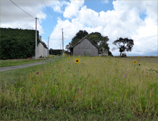
The trail also passes by Wayland’s Smithy Long Barrow, a five-thousand-year-old, communal burial chamber. It originally contained fourteen people, but by the time the chambers were examined in 1920, they had been ransacked. Legend has it that if you leave your horse here overnight, it will be magically reshod in the morning.

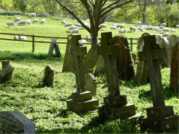
St. Michael and All Angels Church graveyaurd

Shortly before reaching Letcombe Bassett, our via-point to Wantage, we had a wipeout. My bike was fitted with grippy, fat tires built to handle uneven terrain, but Gauthier’s bike was not. The deep ruts, combined with the extra care needed to safely chauffeur the chien in his front-rack basket, resulted in the bike’s tire getting trapped in a rut. Oliver jumped gracefully from his basket before the bike hit the ground, but Gauthier fell with the bike. We learned an important lesson, which is that flint rocks have no problem slicing through human flesh. Go figure.

Letcombe Bassett

Letcombe Bassett was idyllic. St. Michael and All Angels Church, dating from the 12th century and now held by Corpus Christi College, Oxford, is an adorable building and the folk we met there – scrubbing the floor, mowing the lawn and braiding flower wreathes of every color – couldn’t have been kinder. Many times we had to decline the invitation to return home with them to dress Gauthier’s bloody knee. The man scrubbing the floor was also a bell ringer and told me all about full circle ringing.

Letcombe Bassett map

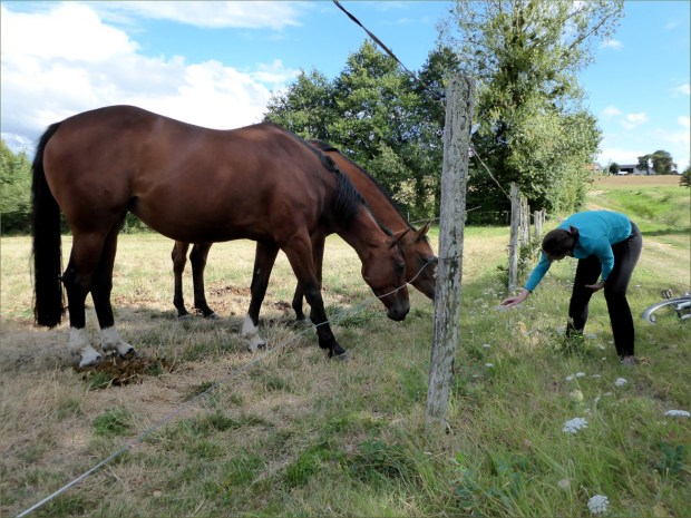
Outside the church, grazing sheep formed a backdrop to leaning grave stones, and horses in jackets like Ollie’s were grazing in paddocks framed by thatched farmhouses and stables. We followed a narrow footpath that followed a brook to the base of the hill where the brook had once been used to farm watercress. A sequence of similar footpaths delivered us to Wantage. On the way we met a retired farmer with a beautiful Shetland sheepdog who reminisced fondly about the intimate relationships that are formed between sheepdogs and their sheep.

Former watercress farm

We arrived in Wantage about 4 pm. Alfred’s Lodge, where we stayed overnight, was clean and tastefully decorated. The owner recommended we wet our lips at Shoulder of Mutton before dinner. The pub dates back to about 1830 and is known for its good selection of real ales. Dinner was at The Lamb, the only restaurant in town that allowed dogs.

Wantage town centre with back view of statue of Alfred the Great built 1877.

Wantage, population 10,000, was originally a Roman settlement and is famous for being the birthplace of King Alfred the Great in 849. Weekly trading rights were first granted to the town by Henry III in 1246. Markets are now held twice weekly on Wednesdays and Saturdays. St. Peter and St. Paul’s Church dates from the 13th century. Its size indicates the importance of the town as a trading center.

St. Peter and St. Paul’s Church dating from 13th century.

That night, I dreamed a ghost in mortal form fell in love with a young socialite named Willow Ash. He gave her gifts of clothing that had once belonged to his deceased wife, and when an epidemic swept through town, the clothing protected her by concealing from the grim reaper that she was mortal.

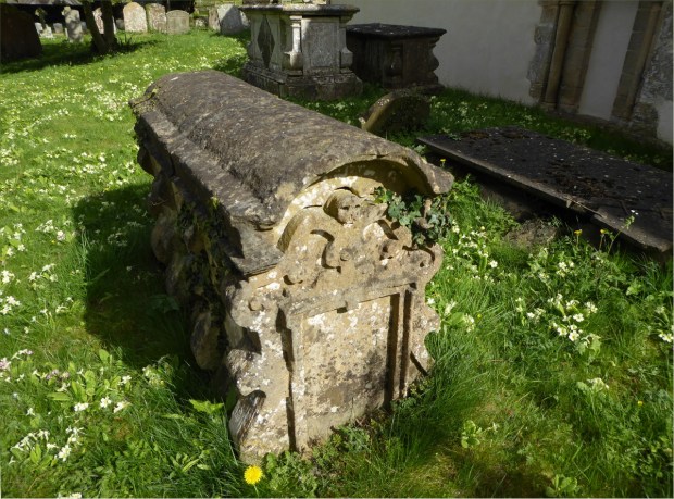
Tomb with rounded top and skull sculpture at St. Michael and All Angels Church, dated 1690.

To read more about our experience cycling the Ridgeway Trial, see our posts for Day 1 and Day 3.

Resources Consulted
Photographer’s Resource: Uffington White Horse 
Walking World: Ridgeways
Wantage (Wikipedia)