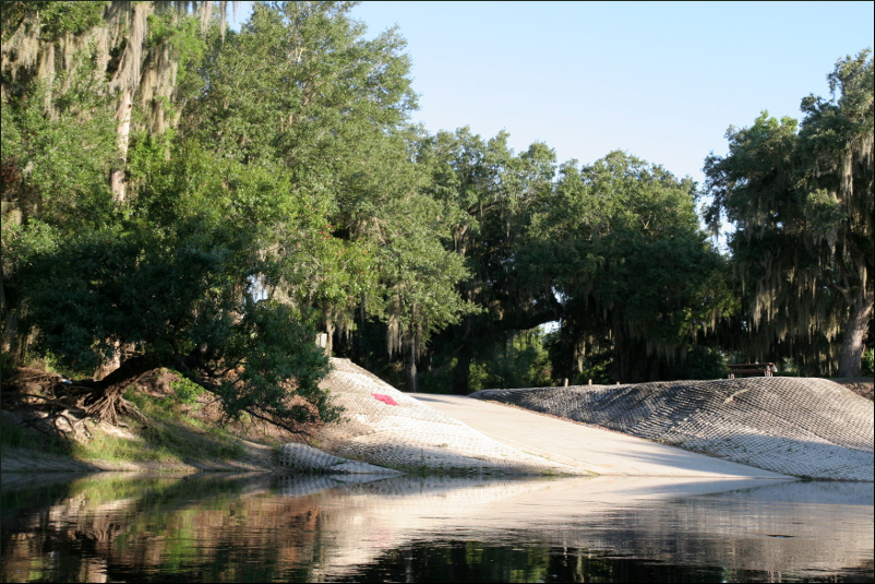
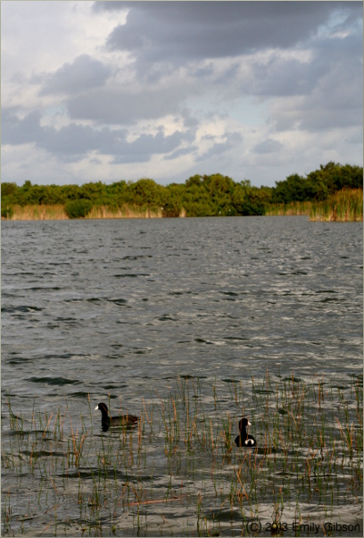
Florida National Scenic Trail (Southern Terminus; Loop Road access point)
25°45’32.27″N 81°02’52.61″W elev 4 ft
This adventure begins at the end, with what I would have written to excuse myself from work on the Monday following a weekend camping trip in the Everglades, had I not used the safe, but perfunctory, “Not feeling well, won’t be coming in today.” This is what I would have written:
“Dear coworkers: I apologize for not coming into work today, but the soles of my feet are bruised, my entire body is covered in tick bites, my thighs, back, neck and shoulders hurt to move, and I am recovering from slight dehydration.”
As you may have gathered, this is a “learn from my mistakes” story.
The forecast for the weekend of April 5-6 was a high of 85 degrees Fahrenheit on Saturday with a low of 65, and a high of 90 on Sunday with a low of 68, no chance of rain. Being sensitive to the cold, I gathered from this information that I would not need to bring a sweater. So, I packed an extra pair of pants for myself and my fiancé, three long sleeve shirts, three pairs of socks, two pairs of underwear, a couple pairs of flip flops, and our bug buckets (hats made of a fabric impregnated with the insect repellent “permethrin”, and that have mosquito mesh sewn into the hem). Gauthier was in charge of camp gear and food. Unfortunately, as you may have surmised from this post’s dearth of photographs, we did not have room to pack the camera.
We got a late start after a leisurely breakfast and big lunch. We had thought it would take us about two hours to hike the trail because when we hiked it in January, when it was completely inundated with water, it took us three hours. We had purposely waited until April to hike it this time, so that it would be less wet. We left Coconut Grove at about 2 pm and arrived at the start of the trail, on Loop Road, a little after 3 pm, which was relatively fast due to the completion of the Tamiami trail bridge construction.
My pack was the lightest. The backpack, a very good quality Over Board dry-bag, was itself quite heavy. Inside we put the clothes, toiletries, first aid kit, insect repellant, a queen size bed-sheet, dog leash (in case we saw a ranger) and water. Strapped to the outside was a sleeping bag. All told, it probably weighed around 15 pounds. Gauthier’s pack contained the Trangia (a beautifully designed light-weight, alcohol camp-stove), the tent, two air mattresses, cookware, yoga mat (to use as a door mat), flash lights, and water, all told weighing around 20 pounds. He also wore a fanny pack; this is where we put our food – organic dehydrated milk, “MSG soup” (a delicious instant soup which unfortunately contains MSG), dried dates and figs, a variety of protein bars, organic instant coffee, couscous, instant moong dal, instant mashed potatoes, and dog croquettes. The fanny pack probably weighed five pounds.
It should be pointed out that the pack in which Gauthier put our camping gear was a scuba dive bag, i.e., a large mesh sack with Styrofoam-padded nylon straps, meant to carry scuba fins, snorkel, etc., i.e., not intended to be worn for prolonged periods of time, i.e., definitely not a hiking bag. “Far to be ideal” is how Gauthier described it, but it was all we had.
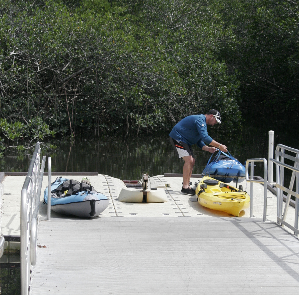
As avid kayakers, we’ve been reading about kayak camping for months, although we are yet to go on a trip. All our gear is therefore light weight, compact, and waterproof. Backpack camping, we thought, would be similar. In fact, for some reason, we assumed backpack camping would be easier.
What we learned was that, while kayak camping and backpack camping do have some similarities, they also have some rather large differences. The biggest difference being that when you backpack camp it is you, and not your kayak, that carries your gear. And water, we learned, is by far the heaviest thing you carry.
Had we been planning a kayak camping trip, we probably would have erred on the side of caution when deciding how much water to bring, but because we were backpacking, we erred on the side of comfort. We brought 11 8oz disposable bottles of water, 5 12oz bottles, and one 16oz bottle, for a total of 164oz, or 1 1/3 gallons, or 4.85 liters of water for two adults and an 11lb dog. It was “far to be enough”, as we learned.
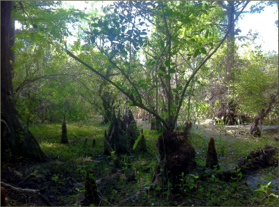
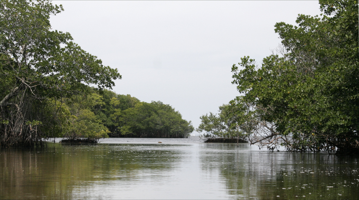
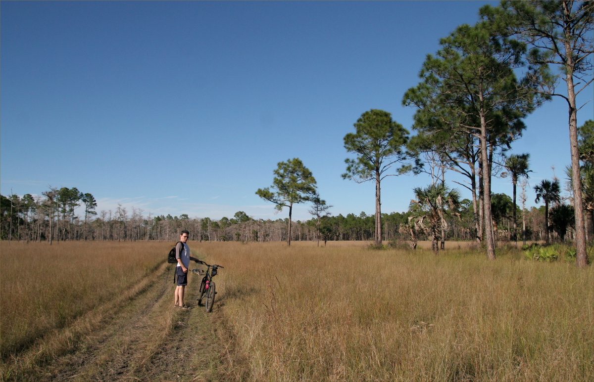
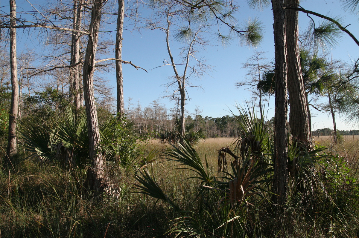
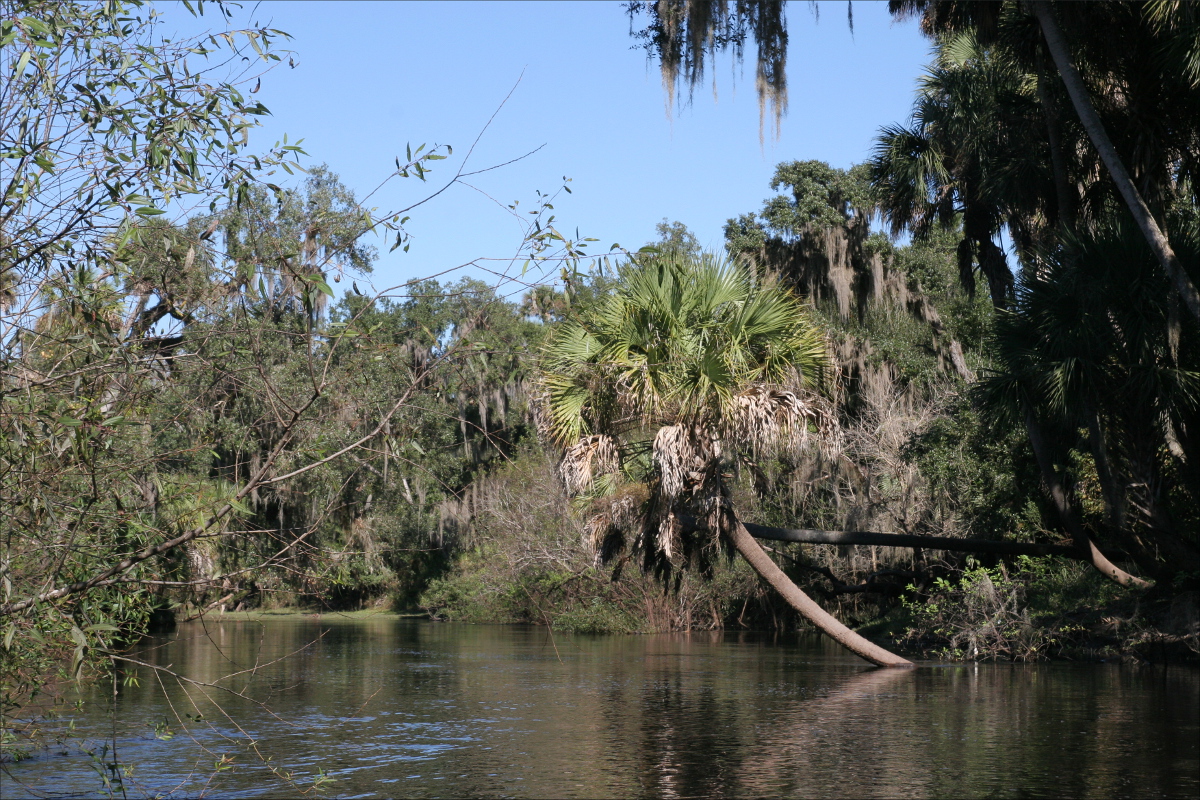
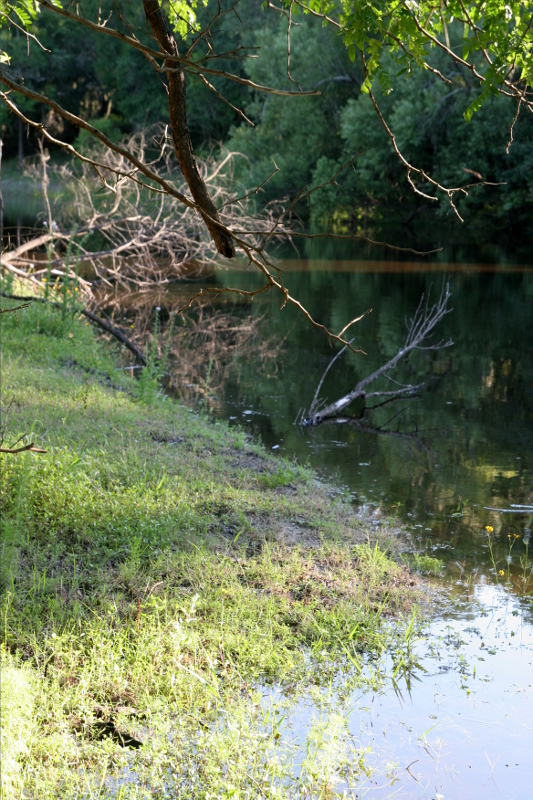
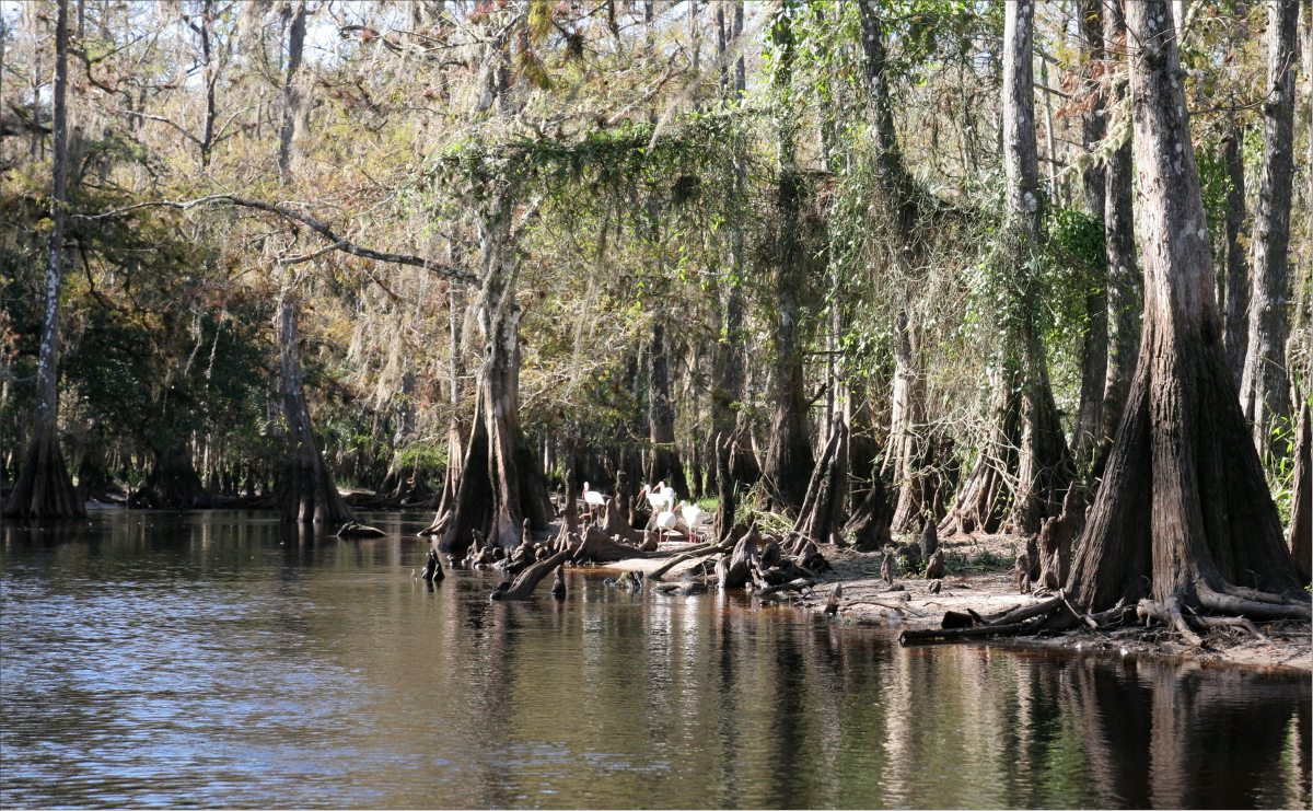
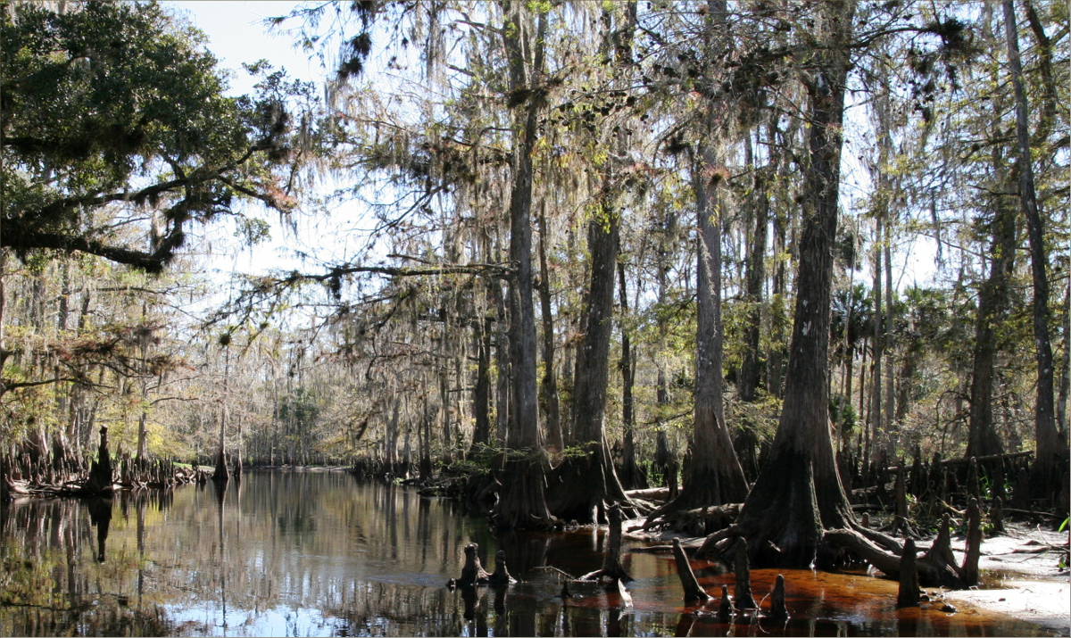
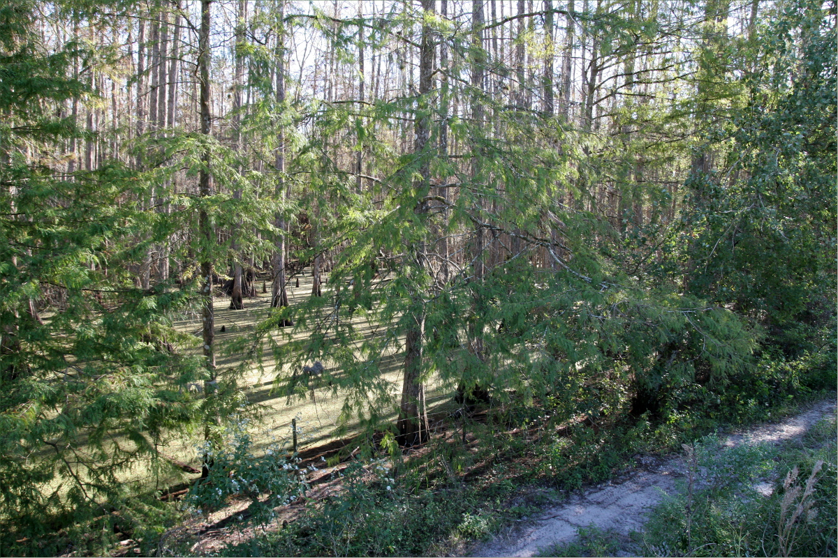
The four and a half mile trail from Loop Road to Robert’s Lake strand takes you through some of the most untouched wilderness on Earth. Starting at an elevation of 1 foot above water level and ascending to 18 feet, it takes you through pine forests, pre-Colombian dwarf cypress forests, hardwood hammocks, sawgrass marshes, and cypress strand swamps, each ecosystem ruled by its water level.
In April, when it is relatively dry, the trail begins like an obstacle course. Large, irregularly shaped, limestone ledges carved out of what is essentially Florida’s skeleton, make hiking the first two miles like playing a game of hopscotch. If you like rock hopping, it’s a lot of fun. But because you have to constantly pay attention to where you put your feet, it is hard to pay attention to the landscape. The strong scent of pine is a powerful reminder of where you are, however.
After about a mile and a half, the pine forest abruptly gives way to a pre-Colombian dwarf cypress forest. With little soil for roots to grow in, the age of the cypresses is evidenced by the gnarls in their white trunks, rather than by their height. A five foot dwarf cypress can be older than a 50 foot royal palm. In fact, many of these dwarf cypress trees are hundreds of years old. At this time of year, they are covered in tiny, lime-green needles. The contrast of green on white is absolutely lovely. Sculpture-like and full of contrast, these might be my favorite trees. Added to their attraction is the fact that they are home to my favorite bromeliads, the Tillandsia paucifolia.

The downside to all the white in the landscape this time of year, is that it makes hiking in the sun akin to hiking in a frying pan, and the trees being so short and the needles so new, there is next to no shade. But among the fluffy white clouds there were some fluffy grey clouds, which were our friends. A light breeze also provided relief.
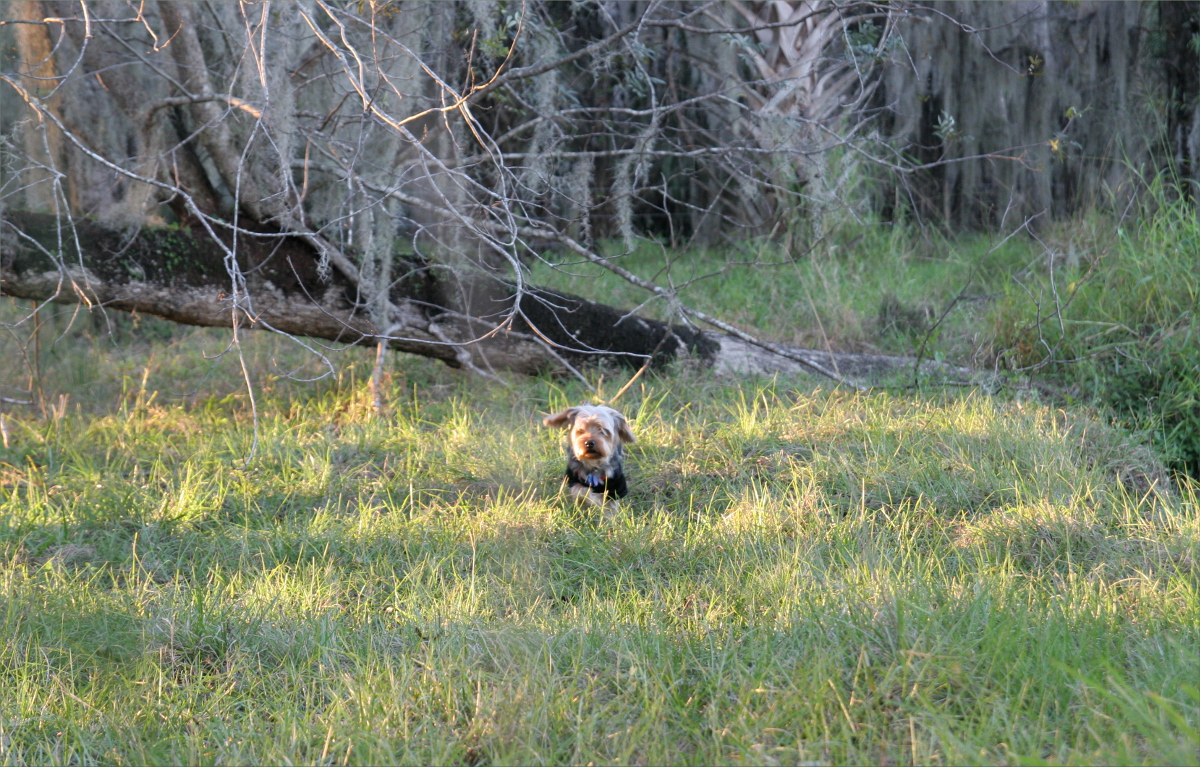
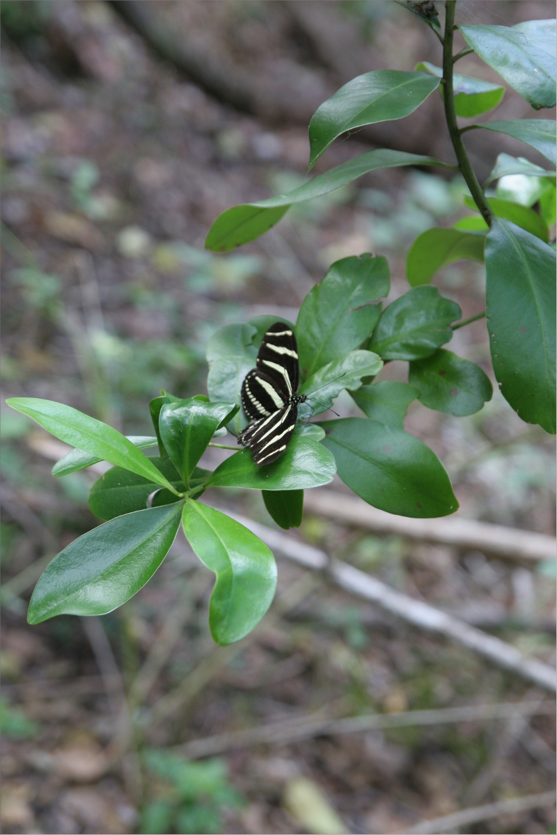
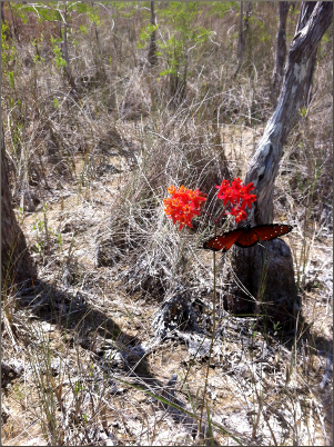
We saw dragon flies, those amazing fliers – Halloween Pennant as well as a chartreuse-colored variety – many species of butterfly, including the Queen and Zebra Long Wing, and two species of crickets, including the Southern Lubber. My Yorkshire Terrier/Dachshund mix, Oliver found the Southern Lubbers fascinating. When they blocked his path, he would watch them intently as he circumvented them.
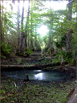
As the trail ascended, it got muddier, until a mile south of Frog Hammock when we were truly slogging. The mud is the color and consistency of chocolate fondue. To imagine what it’s like to hike in mud, imagine sinking your foot into 12 inches of chocolate fondue after it has cooled, and then pulling it out again. It requires balance as well as strength. To make it more precarious, you have to dodge holes made by other sloggers’ footprints, as well as roots and cypress knees.
I thought I would be clever and avoid sinking into the mud by straddling the two foot wide trail and walking along its edges pigeon-toed. Picture me vigorously propelling myself forwards along the trail with the balls of my feet dug into its edges. That’s how I bruised my feet.

I walked behind Gauthier; Oliver was in the middle. I preferred to bring up the rear as invisible spider webs frequently hung between the dwarf cypresses lining the trial, and if there’s one thing I’m afraid of, it’s spiders, even tiny invisible ones.
We stopped a couple times to let our heavy packs (and scuba bag) down. It was on one of these occasions that I first encountered the giant, red ticks that play a larger role in this story a little later. I found a single tick on Oliver, but it wasn’t attached, so I just flicked it off.
I had reached 90% exhaustion about half a mile before we reached Frog Hammock camp site, when I noticed that the outer and inner soles of Gauthier’s shoes had become partially unglued and were flapping against the top part of his shoes the way flip flops flap against your foot. I never appreciated how much energy it takes to laugh until that moment. About half of my remaining energy was consumed, despite my best efforts not to laugh. Thank goodness my love has a fantastic sense of humor. And this after I had packed shoes for him that had only one shoelace (we had substituted the yoga mat string). Learn from our mistake and check the condition of all your gear before you leave home! The soles eventually fell off of Gauthier’s twenty-year-old Puma runners. On the return trip, he wore what was left of his shoes inside two pairs of socks to keep them in one piece. Can you imagine slogging the Everglades in your socks?!
As we had anticipated, it took us two hours to rock-hop/hike/slog the 3 miles from Loop Road to Frog Hammock. The camp site was marked by a very unassuming, crudely built, four-foot high marker, and consisted of a water pump (connected to a dry well), a fire pit and one cinder block (leftover from when they built the pump, perhaps).

There were many wonderful things about the camp site, but my favorite was the bed of pine needles, about 24 square feet and at least a foot deep, encircled by palms and tall pines. The pine needles were heavenly soft to sleep on.
There were mosquitoes, but a strange variety, translucent and all legs and wings, that hovered above your skin for quite some time before settling on it. They were easy to kill, although there were so many that it was still necessary to wear mosquito repellant. There was also a nest of Florida carpenter ants (large red and black ants), but we didn’t bother them and they didn’t bother us.
The first bird we saw was a small songbird with a yellow belly, possibly a warbler. But the first bird we heard was an owl, although we never saw it. Other noises reminded us of how far behind us we’d left the city, like wind rustling in the trees and bees buzzing, and, true to the Frog Hammock name, the quiet croaking of frogs.
By the time we finished a delicious dinner of split pea soup and moong dal with pita bread, the sun had already set, so we lay down inside the tent and watched the stars and fire flies come out. I fell asleep almost immediately. While still in the twilight zone of sleep, I heard little feet walk up to the tent. Too tired to investigate, I took comfort in the fact that Oliver seemed unconcerned, and allowed myself to fall more deeply asleep. Gauthier later informed me that all he could make out of our night-time visitors were small silhouettes that appeared to be sitting on their haunches.
I didn’t sleep soundly for two reasons: 1) because my tres expensive air mattress was uncomfortable, and 2) because I invited Oliver to share my mattress with me. Dumb, dumb, dumb… not sleeping soundly for one night because my air mattress is uncomfortable is no biggie, but inviting Oliver to sleep with me has had long lasting repercussions. The large tick I found on him earlier, well that tick was not alone, and by inviting Oliver to share my mattress, I invited the ticks to a feeding frenzy. I didn’t realize it until I got home, but my body was covered in tick bites, although thankfully only one attached itself to me (it was attached to the inside of my ear flap). Legs, groin area, butt, torso, back, arms, head; the only parts of my body not covered in translucent pustules are my feet, neck, and face. The bites itch and sting. From what I can tell by searching online, they were dog ticks.

Although we hadn’t read very much about Everglades ticks before our adventure, they are apparently so common that the Florida Trail has its own tick key: http://ftashop.floridatrail.org/ft-tick-key/. So beware! Tuck your pants into your socks, tuck your shirt into your pants, guard your clothes or leave them outside your tent if you take them off, and be wary. If you bring a dog, check him frequently, and don’t invite him to sleep with you!
No need for a rooster on Frog Hammock, at the crack of dawn I was awoken by a cacophony of birds. We must have been within feet of at least a dozen species, but look as we might, we couldn’t find a single bird. However, Gauthier did see flocks of cranes fly by so low that he could hear their wings flap.
When it came time to make breakfast, we could no longer ignore our water shortage. We had 3 12oz bottles of water left, and 2 8oz bottles, for a total of a little under half a gallon. We used some water for coffee, but otherwise abstained from it, eating only dried figs and dates for breakfast.
Gauthier was determined to hike to Robert’s Lake Strand, another mile and a half north, before returning home. I pointed out that that would require trekking twice as far with half the water. I also pointed out the meagerness of our breakfast. But he was determined. “It will be like entering the Jurassic era,” he said. “It won’t be so bad if we leave our packs behind.” I knew it was foolish, but I agreed. Big mistake.

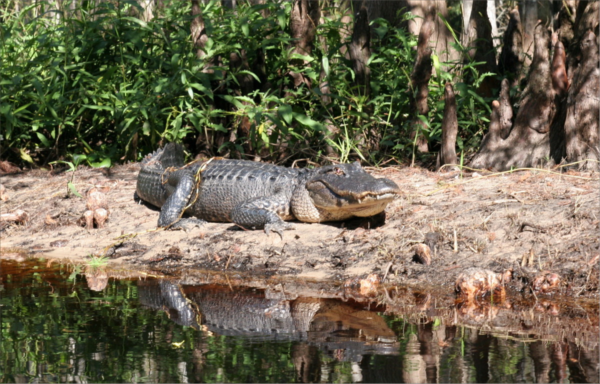
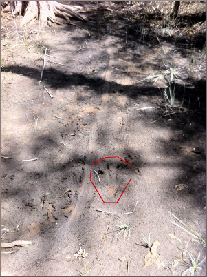
The mile and a half from Frog Hammock to Robert’s Lake Strand was all mud. Slogging requires three times the energy that hiking on hard ground does. As the temperature reached 90 degrees Fahrenheit, I became so fatigued that I stopped paying attention to the scenery. While it was impossible to ignore the giant leather ferns or the giant cardinal bromeliads so regally perched in the now very tall cypresses, I barely noticed the delicate vine with v-shaped leaves, the red maples, or the fragrant chardon flowers. Worn out and cranky, I was bothered when Gauthier stopped to take pictures of a giant alligator track, a tiny orchid, and a stagnant pond vaguely reminiscent of a brontosaurus footprint.
When we arrived back at Frog Hammock, I stripped down as far as my muddy clothes would allow me and literally collapsed in the tent. My arms stung from sweat entering fine scratches caused by the sawgrass and cypress branches I had unwittingly brushed against. It was unimaginable that we had to put our heavy packs back on our backs and hike another three miles in 90 degree weather, with no shade, no dry land, and barely any fresh water.
I will spare you the details of those remaining three miles, but suffice to say that you know you are dehydrated when you try to eat, but the food won’t go down your throat because there is no moisture to lubricate it.
Learn from this beginner and, when hiking in the Everglades: never underestimate how much water you will need, know that hiking in mud (or slogging) requires three times the energy (and therefore three times the water) that hiking on hard ground does, watch out for ticks, and check the condition of your equipment before you leave home.
Not to end on an unhappy note, Gauthier cooked delicious chicken dijonnaise crepes when we got home, my tick bites are healing, Oliver is fine, and this weekend we’re going where there is plenty of water: you’ll find us free diving on South Pointe, Miami Beach.