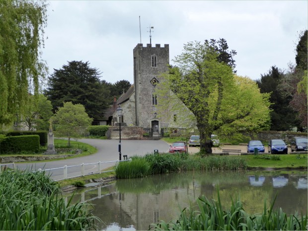
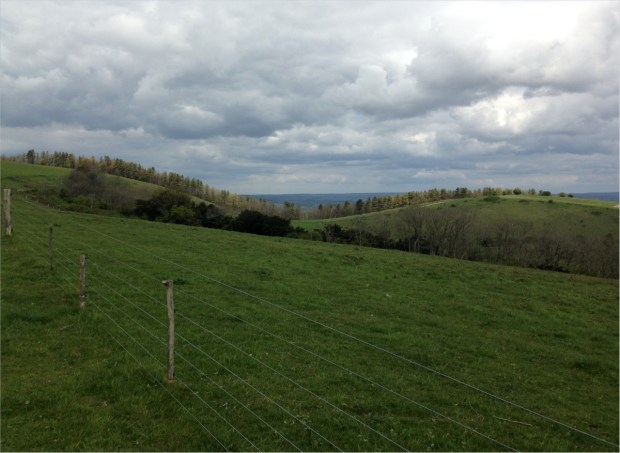
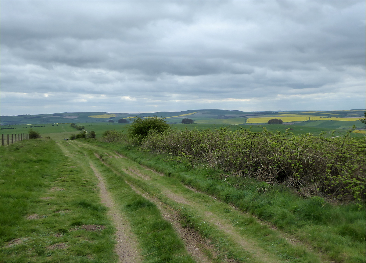
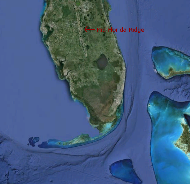
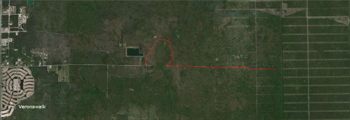
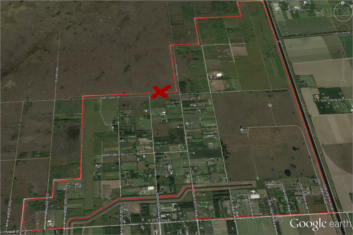
In March, we spent the Easter long-weekend here. This is Lake Wales Ridge, also called the Mid-Florida Ridge. The long, narrow dune extends 115 miles in length and four to 10 miles in width; the sands were deposited 650,000 years ago.
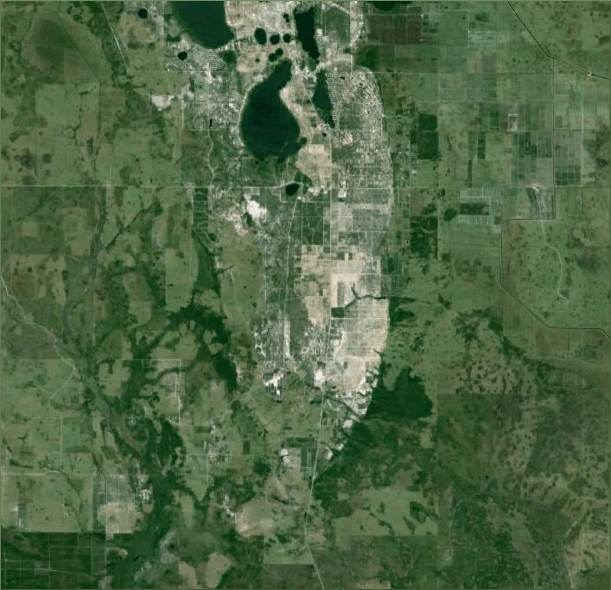
Doesn’t the outline of the southern end of the Ridge bear a striking resemblance to Florida’s southern coastline?

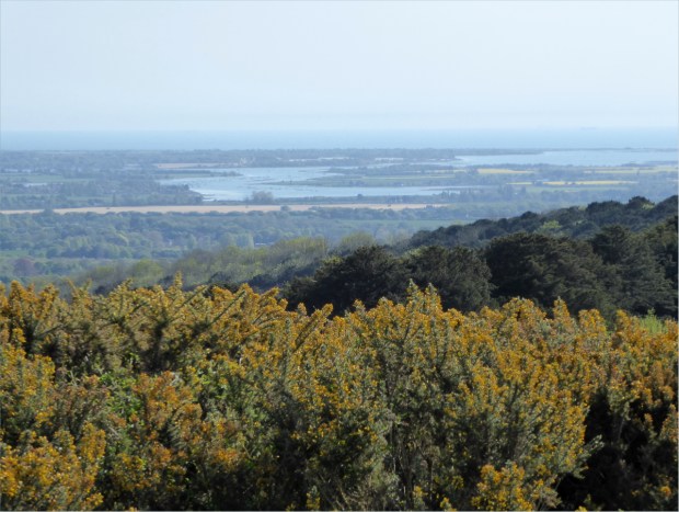
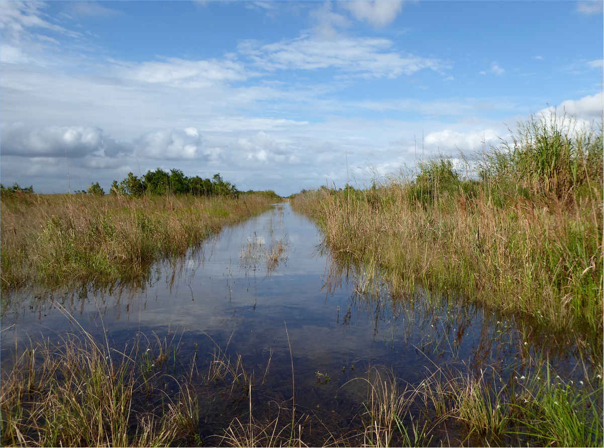
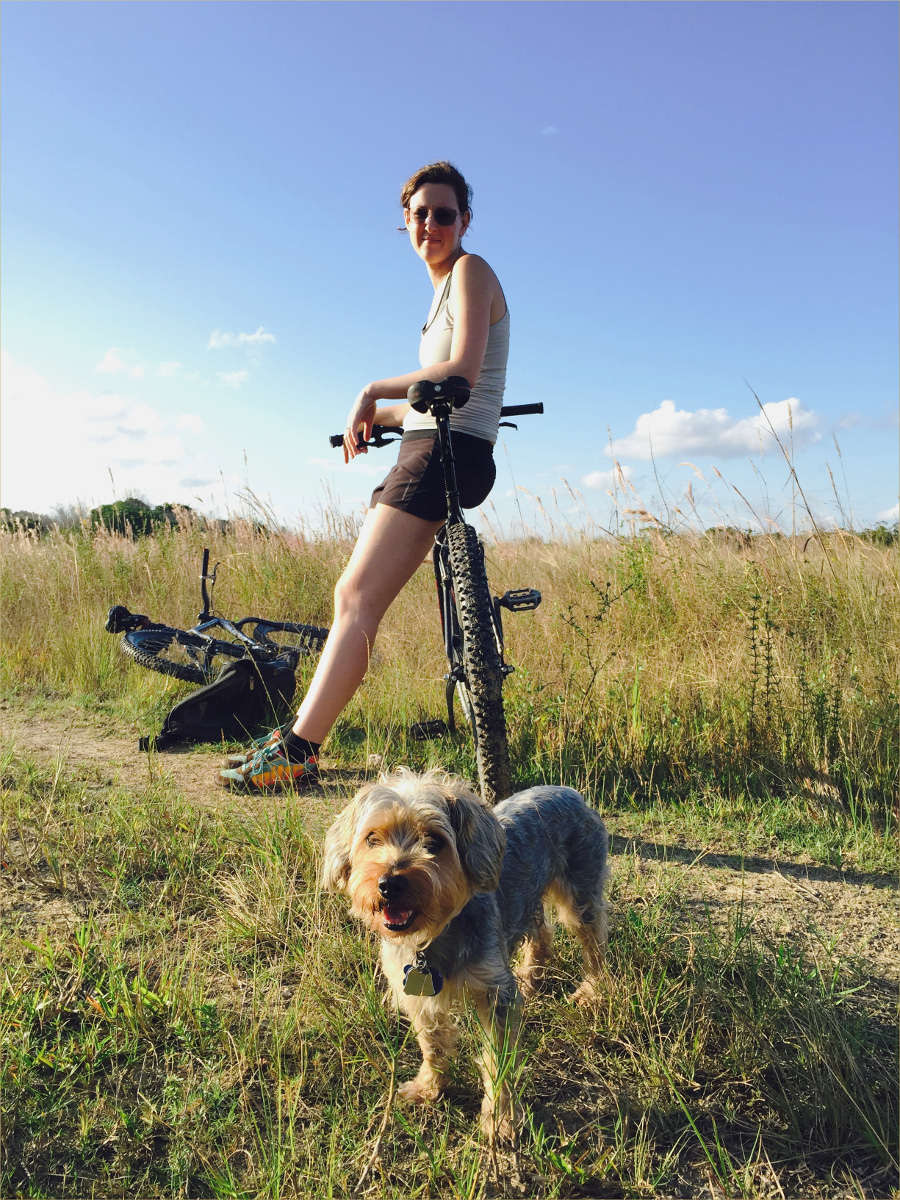
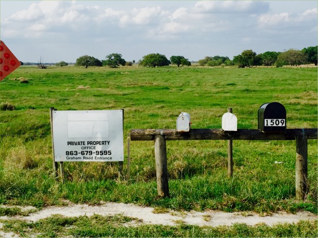
I like to imagine that we traveled not to Highlands or Polk County, but back in time to prehistoric Florida, when the Ridge was a series of land islands connected to the southwestern United States by the now-sunken Florida Shelf. While our primary goal was to visit Archbold Biological Station, we took detours to Platt Branch Wildlife and Environmental Area, New Boot Heal Road, and a once-public road on a now-private ranch. We stayed overnight at Fisheating Creek Outpost .
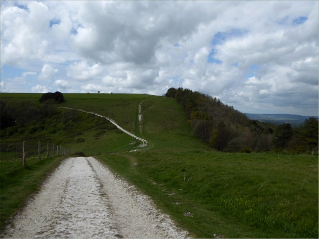
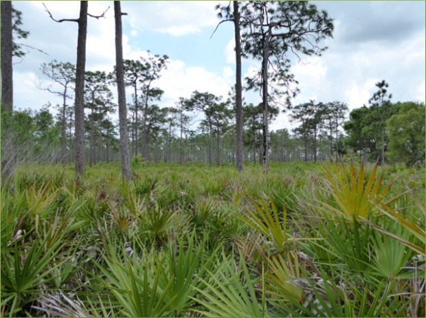
Platt Branch Wildlife and Environmental Area
Managed by the Florida Fish and Wildlife Conservation Commission
27°03’00.5″ N 81°21’54.0″ W elev 100 ft
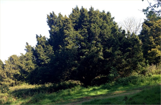
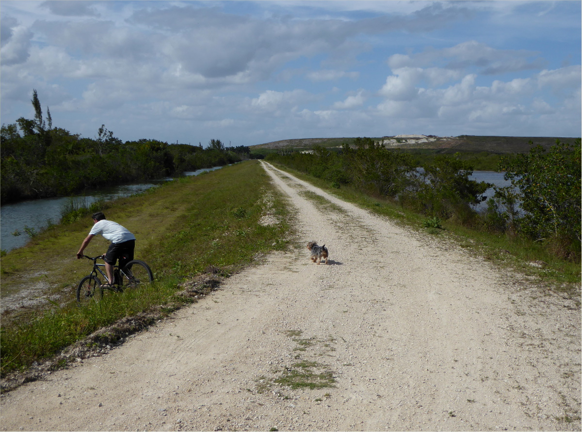
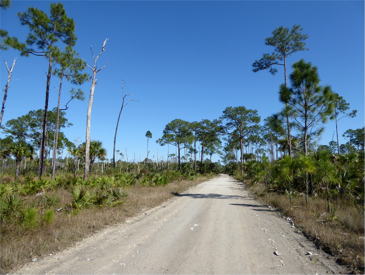
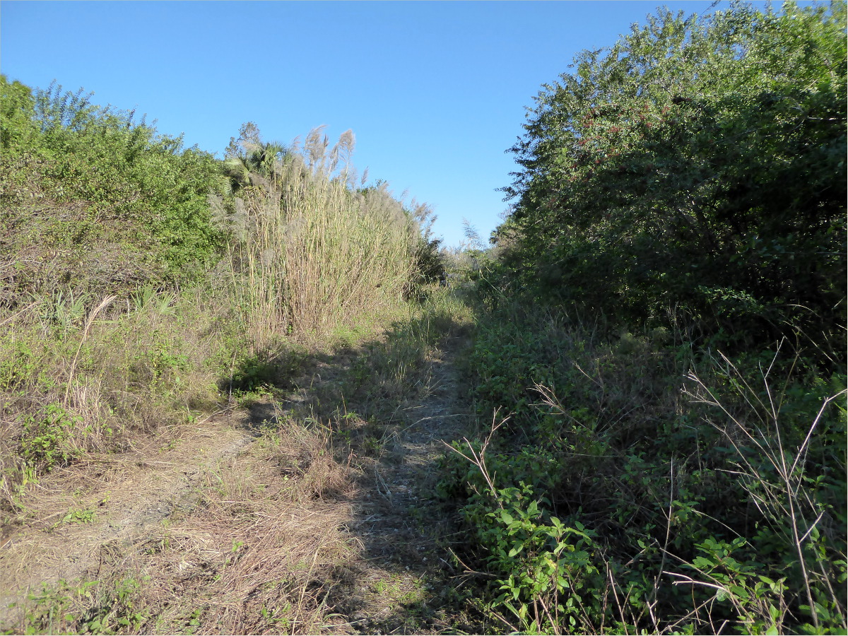
Bikes are prohibited on this other-worldly, sandy trail.


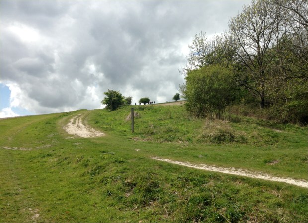
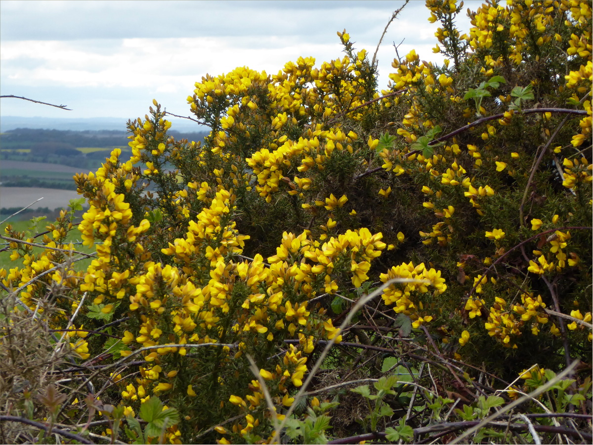
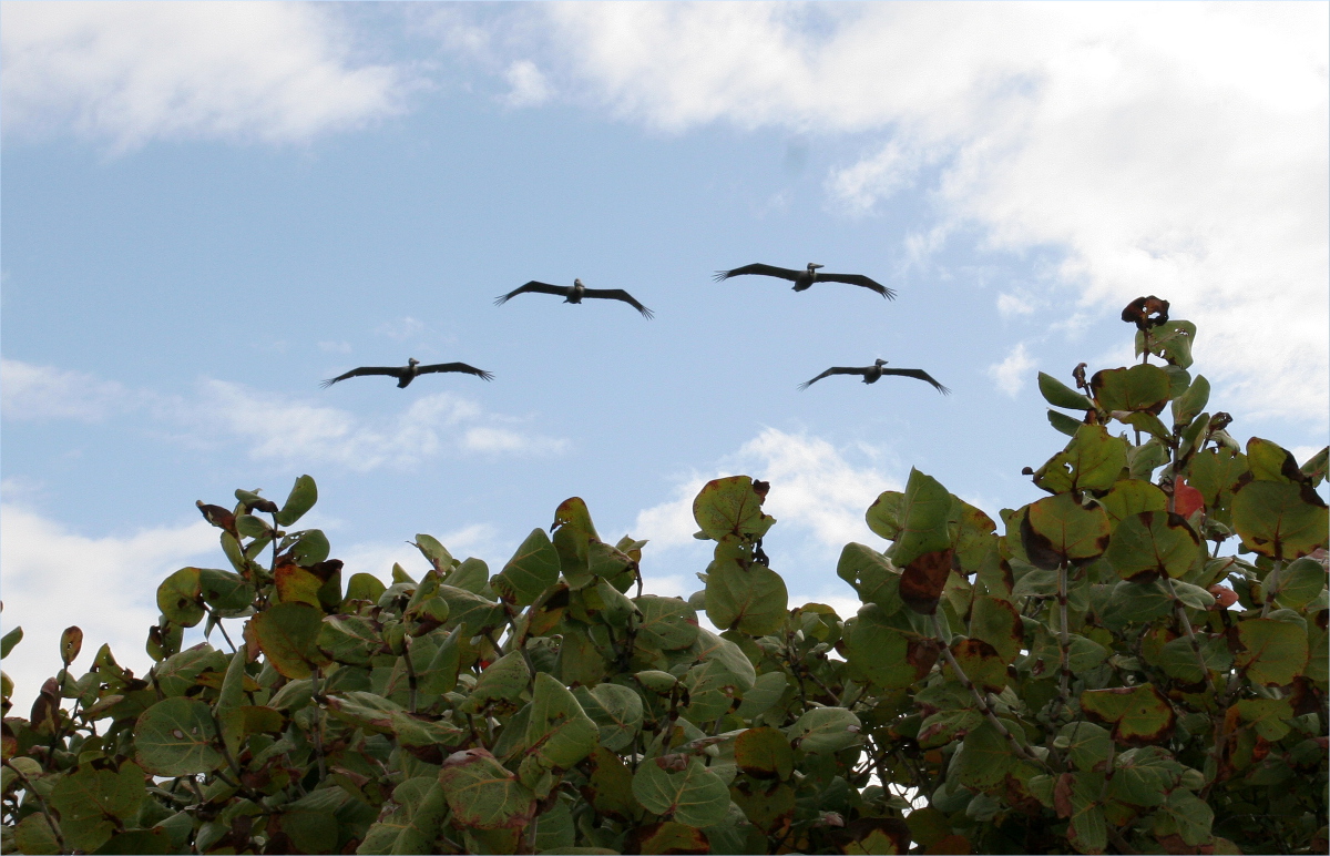
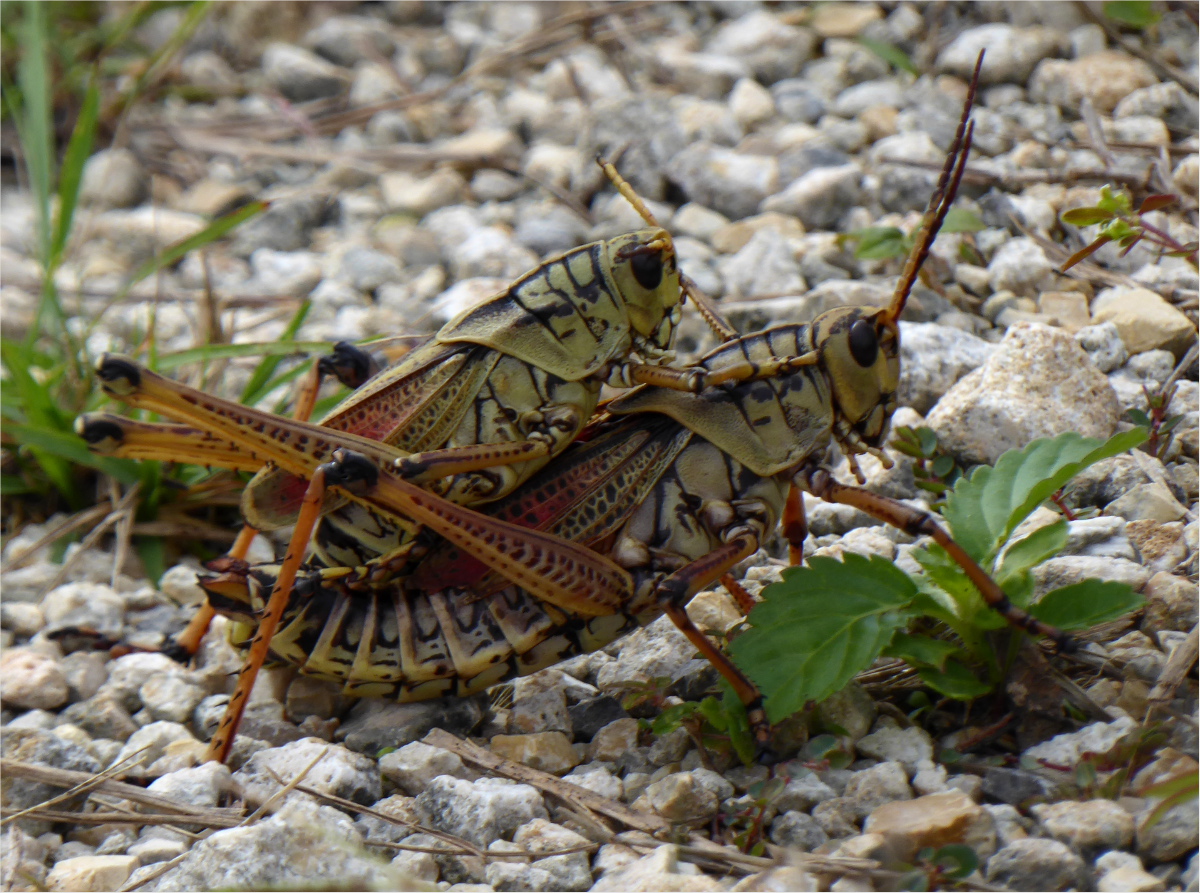
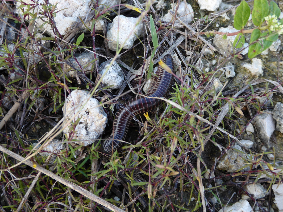
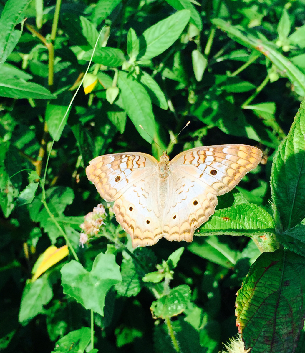
We’re not sure, but it’s possible that we saw a Florida black bear here. Although it was too far away to tell, it was the right size and color. We also saw deer, scrub jays, sandhill cranes, and mockingbirds, as well as the below Polygana nana (Candyroot).

Polygala nana (candyroot)
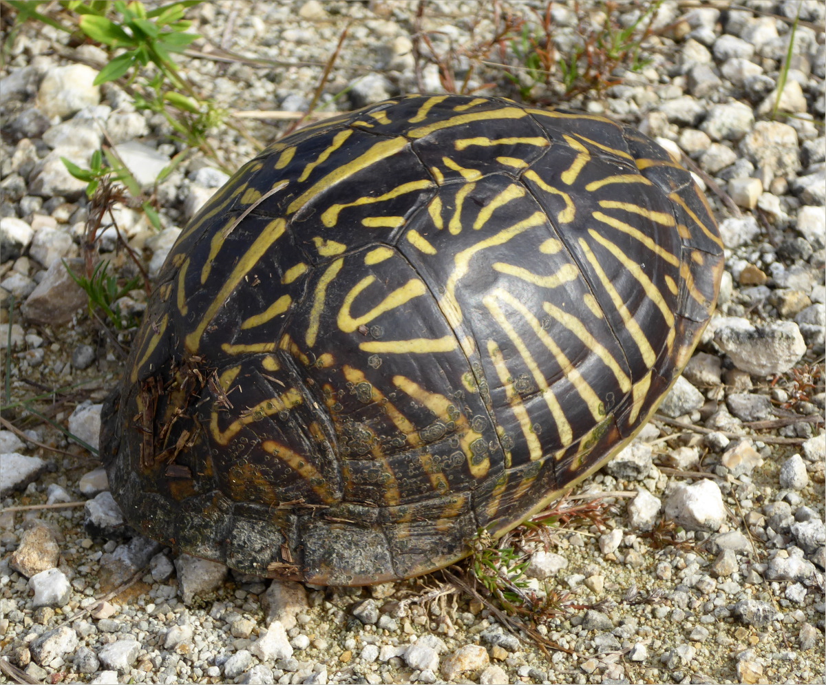
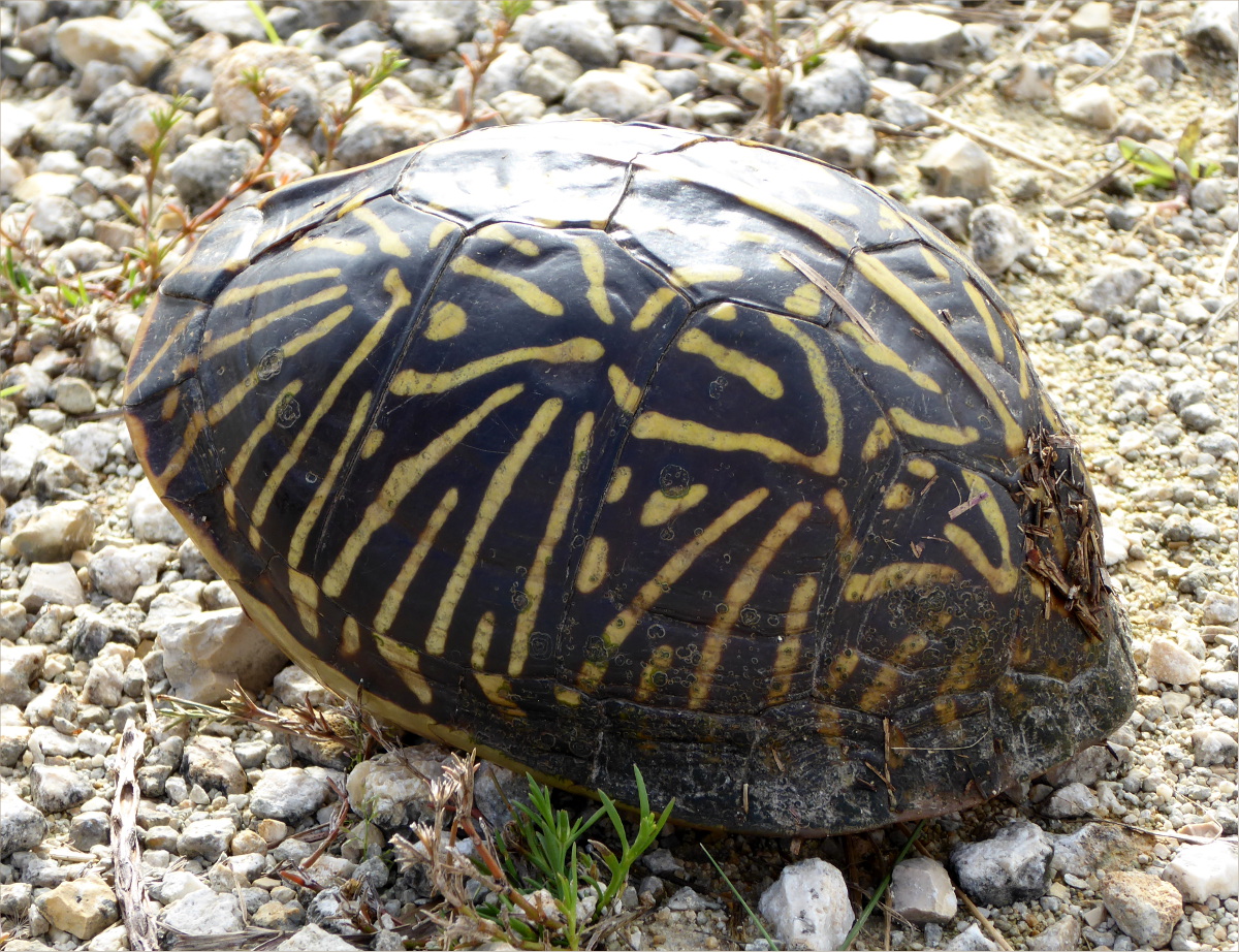
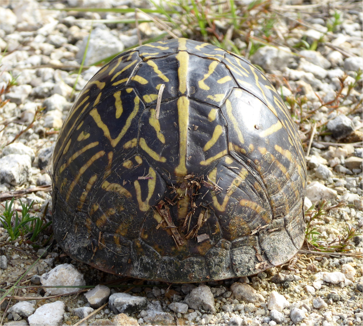
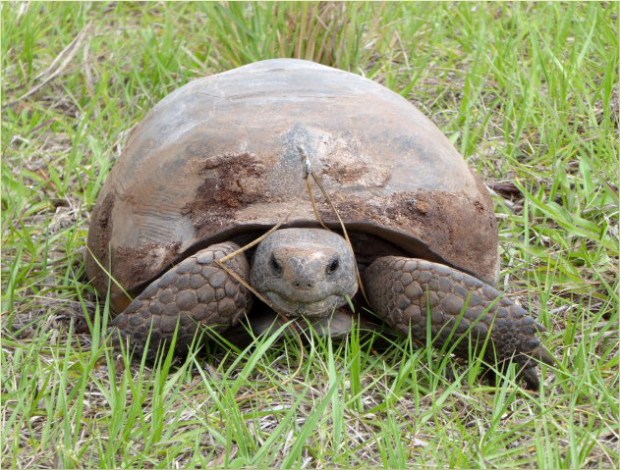
Just down the road from Platt Branch, we saw this gopher tortoise. We stopped in the middle of the road to photograph it. While we were stopped, a ranger pulled up beside us. “It’s incredible!” Gauthier exclaimed. The ranger smiled and replied, “This is their home.” Burrows dug by gopher tortoises provide refuge to many other animals during woodland fires and high summer temperatures.
New Boot Heal Road
Start 27°05’15.47″ N 81°24’20.96″ W elev 85 ft
End 27°07’15.12″ N 81°26’51.61″ W elev 74 ft
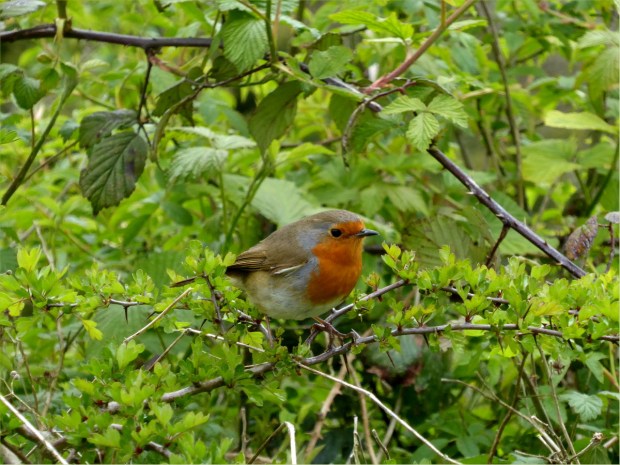
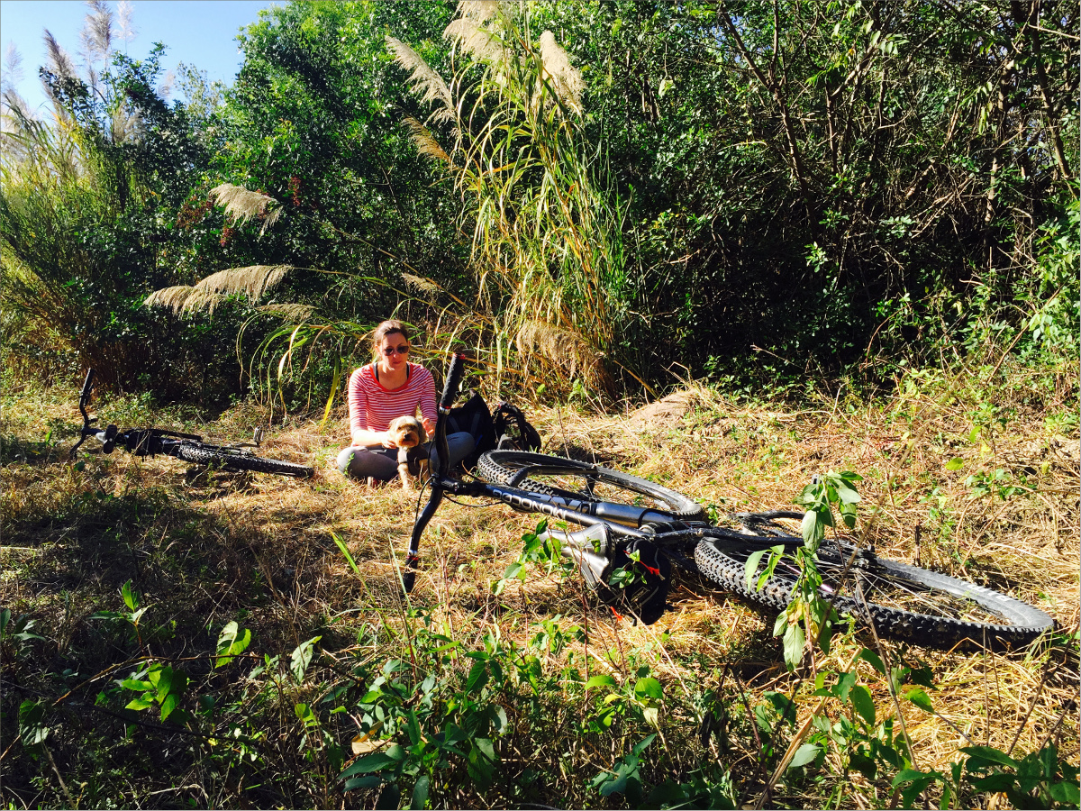
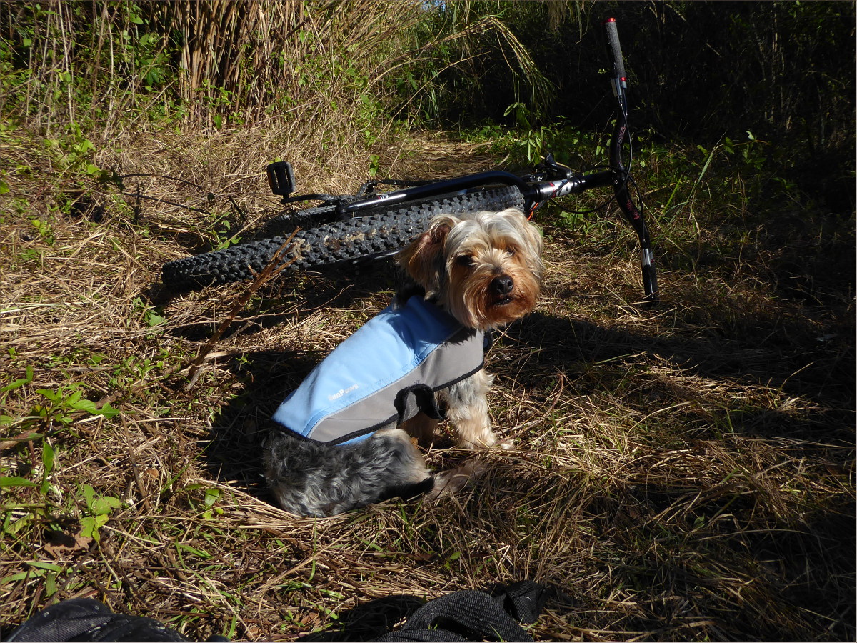
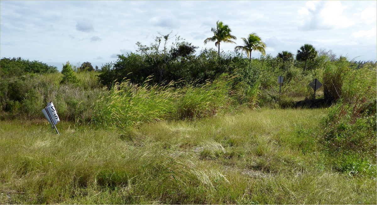
This 10-mile ride took us along a mostly hard-pack road that zigs and zags in the pattern of… yes, a new boot heal. We passed by homes with large, beautifully maintained yards, ranches with hundreds of cows that stopped to watch us as we rode by, and a logged tree farm with the logs left stacked fifteen feet high in the middle of the road. The road ended at a dead end where a very lovely, yellow bird, perched upon a power line, sang us a song.


Fisheating Creek Outpost
26°56’21.73″ N 81°19’06.17″ W elev 39 ft
Fisheating Creek Outpost, 7555 U.S. 27, Palmdale, Florida, 33944
Campsite map and rules
We’d stayed here before, but not on a holiday weekend… or during a big, televised soccer match. Oh boy did our fellow campers enjoy that match. It was not a tranquil stay, but the cook got to try out his newly designed, ultra light-weight camp stove and all the kids running about reminded me of the camping adventures of my youth: the feel of gumboot-clad shins wading in the cool water of yabbie-filled creeks, scaling dried-up waterfalls, and riding my bike ten miles into town to buy my first bikini.

“I can’t take it?” I overheard one kiddo ask his dad. “No,” was the unequivocal answer. “I can’t take it?” he asked again… and again. Finally, exasperated, the dad explained to the equally exasperated child, “You can’t carry a 200 pound alligator.”

The view from our tent

A Once-Public Road
Start 27°05’29.90″ N 81°28’54.33″ W elev 72 ft
End 27°06’15.92″ N 81°29’04.10″ W elev 69 ft
I am a stickler for rules, so I reluctantly ignored the large sign indicating that the property we were about to enter was private. “On the map it looks like a public road” Gauthier patiently explained.
It wasn’t fifteen minutes before we were escorted out by a very polite woman, vaguely resembling my sister-in-law, with an SUV full of lil ‘uns. “It was a public road a long time ago,” she corrected us with apologetic eyes, but a firmly set jaw. In Europe, it’s not uncommon for private property to be intersected by public roads.


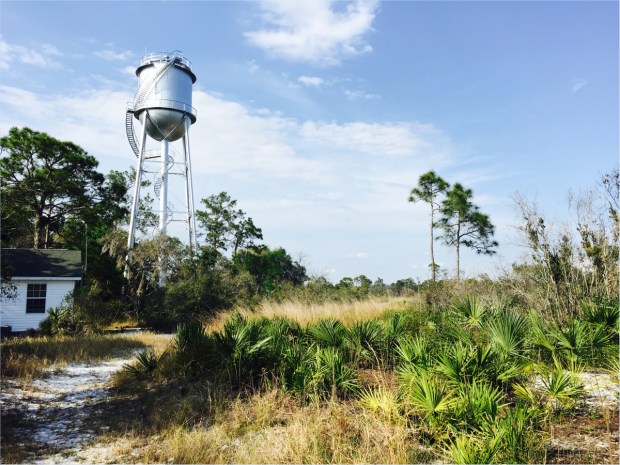
Archbold Biological Station
123 Main Dr, Venus, FL 33960
(863) 465-2571
27°10’58.19″ N 81°21’07.50″ W elev 137 ft
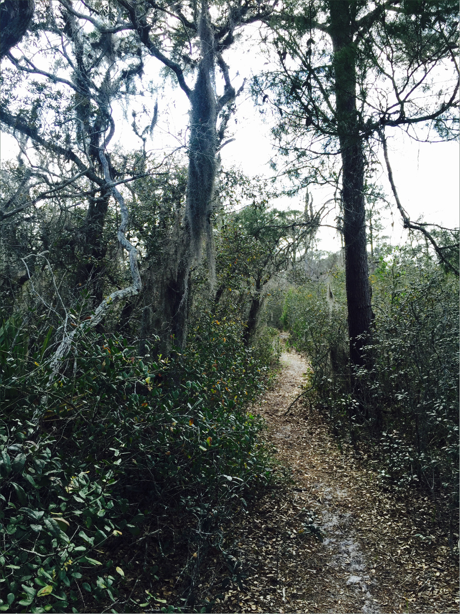
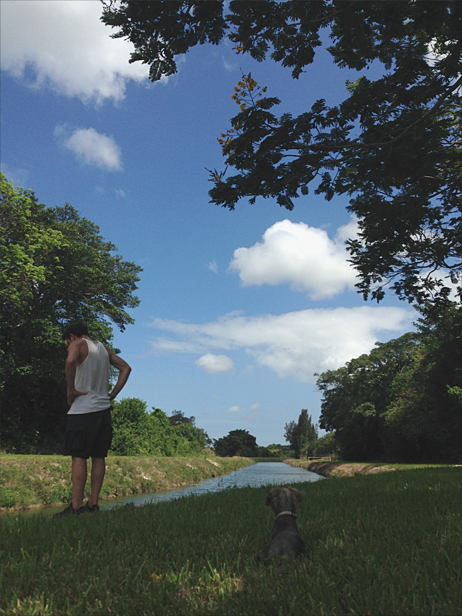
Archbold Biological Station has fantastic labels. The trails are labelled, the buildings are labelled, the donation box is labelled, the reused-concrete bridge is labelled. I love labels and I love Archbold Biological Station, even though they don’t allow dogs (hence no Ollie pictures in this post).


The labels encouraged me to touch the curled-up, waxy scrub oak leaves so that I’ll never forget them, and observe the different plant species on either side of a trail with two different elevations – one side was sandy and the other side had a layer of clay. I also learned how to tell scrub palmettos apart from saw palmettos. I love that scrub jays line their nests with the fibers that grow along the edge of scrub palmetto leaves.

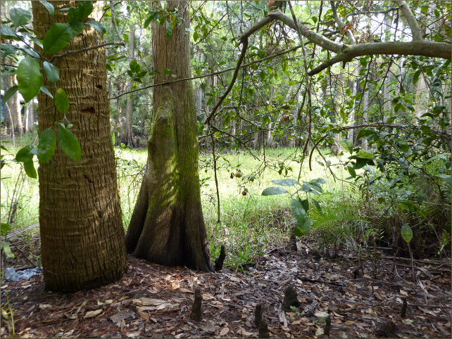
Shrub-like scrub oak (Quercus inopina), sand live oak (Q. geminata), Chapman oak (Q. chapmanii) and myrtle oak (Q. myrtifolia) lined the trail.
It’s hard to tell saw palmettos and scrub palmettos apart, as you can see in this photo.

We didn’t know it at the time, but this captivating species of lichen, Cladonia perforata (Florida perforate reindeer lichen), is endangered.
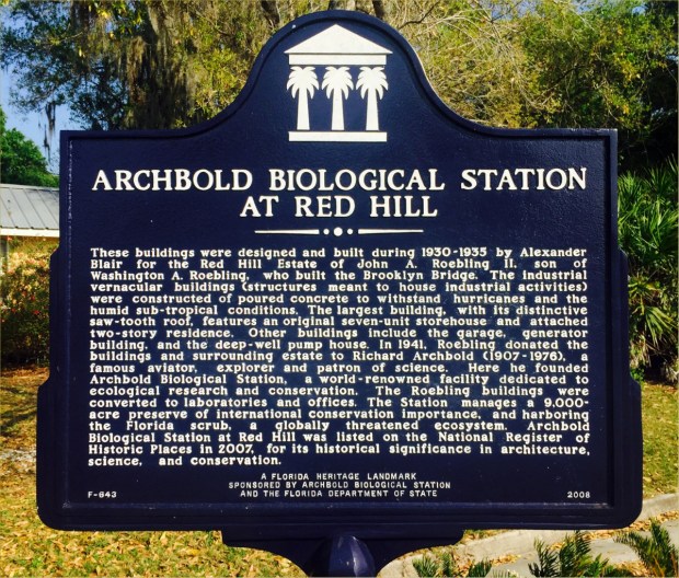
It’s wonderful that the Roebling and Archbold families recognized early on how special the Ridge ecosystem is and preserved it, and it’s doubly wonderful that it is accessible to the lay public as well as scientists. The architecture is also very cool.

Resources Consulted
Lake Wales Ridge, Lanscope America
History of Archbold Biological Station